2317 Saint Paul Rd West Point, IA 52656
Estimated Value: $202,000
4
Beds
2
Baths
2,216
Sq Ft
$91/Sq Ft
Est. Value
About This Home
This home is located at 2317 Saint Paul Rd, West Point, IA 52656 and is currently priced at $202,000, approximately $91 per square foot. 2317 Saint Paul Rd is a home located in Lee County with nearby schools including Fort Madison High School, Holy Trinity Catholic Elementary, and Holy Trinity Elementary.
Ownership History
Date
Name
Owned For
Owner Type
Purchase Details
Closed on
Oct 26, 2023
Sold by
Kassmeyer Steven J and Kassmeyer Sandra L
Bought by
Kassmeyer Colin M and Saathoff Alisha A
Current Estimated Value
Home Financials for this Owner
Home Financials are based on the most recent Mortgage that was taken out on this home.
Original Mortgage
$325,000
Outstanding Balance
$318,974
Interest Rate
7.18%
Mortgage Type
New Conventional
Create a Home Valuation Report for This Property
The Home Valuation Report is an in-depth analysis detailing your home's value as well as a comparison with similar homes in the area
Home Values in the Area
Average Home Value in this Area
Purchase History
| Date | Buyer | Sale Price | Title Company |
|---|---|---|---|
| Kassmeyer Colin M | $4,500 | None Listed On Document |
Source: Public Records
Mortgage History
| Date | Status | Borrower | Loan Amount |
|---|---|---|---|
| Open | Kassmeyer Colin M | $325,000 |
Source: Public Records
Tax History Compared to Growth
Tax History
| Year | Tax Paid | Tax Assessment Tax Assessment Total Assessment is a certain percentage of the fair market value that is determined by local assessors to be the total taxable value of land and additions on the property. | Land | Improvement |
|---|---|---|---|---|
| 2023 | $1,992 | $184,290 | $59,280 | $125,010 |
| 2022 | $1,692 | $108,370 | $45,220 | $63,150 |
| 2021 | $1,692 | $108,370 | $45,220 | $63,150 |
| 2020 | $1,548 | $99,100 | $43,480 | $55,620 |
| 2019 | $1,388 | $99,100 | $43,480 | $55,620 |
| 2018 | $1,448 | $111,090 | $0 | $0 |
| 2017 | $1,398 | $114,970 | $0 | $0 |
| 2016 | $1,302 | $114,970 | $0 | $0 |
| 2015 | $1,302 | $111,410 | $0 | $0 |
| 2014 | $1,198 | $109,010 | $0 | $0 |
Source: Public Records
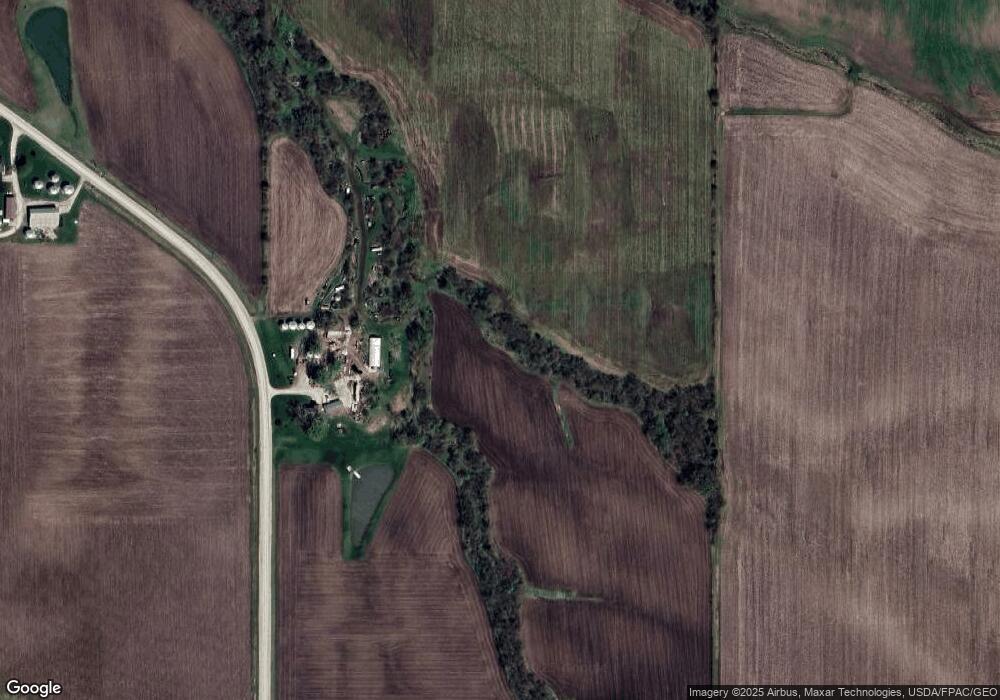
Map
Nearby Homes
- 2280 Windmill Way
- 811 Avenue C
- 607 Bel Air Dr
- 2257 Burt Rd
- 1794 150th St
- 2113 204th Ave
- 00 180th St
- 2942 Four Seasons Rd
- 3016 189th St
- 3025 189th St
- 2657 Clearview Heights Rd
- 2229 235th St
- 5635 Bluff Rd
- 808 Park St
- 603 Fruit St
- 2794 221st St
- 808 Pershing St
- 2798 River Hills Rd
- 720 Pershing St
- 115 Lynn St
- 2306 Saint Paul Rd
- 2349 Saint Paul Rd
- 2293 Saint Paul Rd
- 0 Rr Unit 23004244
- 0 Rr Unit 23005584
- 0 S Park Subdivision Unit 5425185
- 0 Rr Unit 5425237
- 0 Rr Unit 5425270
- 0 Rr Unit 5425141
- 0 Rr Unit 5425124
- 2263 149th St
- 1538 240th Ave
- 1563 240th Ave
- 1474 240th Ave
- 2241 149th St
- 1470 240th Ave
- 2284 Saint Paul Rd
- 2413 150th St
- 2294 162nd St