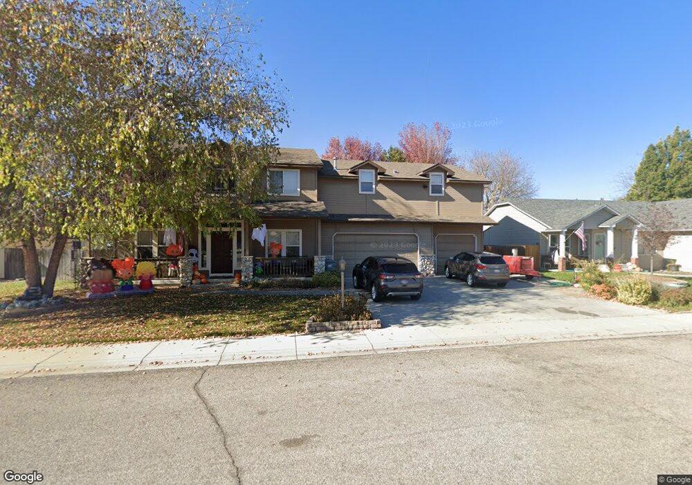
2319 S Monitor Way Boise, ID 83709
Southwest Boise NeighborhoodEstimated Value: $582,000 - $665,018
4
Beds
4
Baths
3,101
Sq Ft
$205/Sq Ft
Est. Value
About This Home
This home is located at 2319 S Monitor Way, Boise, ID 83709 and is currently estimated at $635,005, approximately $204 per square foot. 2319 S Monitor Way is a home located in Ada County with nearby schools including Maple Grove Elementary School, West Junior High School, and Borah Senior High School.
Ownership History
Date
Name
Owned For
Owner Type
Purchase Details
Closed on
Aug 13, 2009
Sold by
Meyer Elizabeth A
Bought by
Meyer James F
Current Estimated Value
Home Financials for this Owner
Home Financials are based on the most recent Mortgage that was taken out on this home.
Original Mortgage
$160,000
Outstanding Balance
$104,108
Interest Rate
5.17%
Mortgage Type
Stand Alone Refi Refinance Of Original Loan
Estimated Equity
$530,897
Purchase Details
Closed on
Sep 16, 1998
Sold by
Place Charleston
Bought by
Meyer James F and Meyer Elizabeth A
Create a Home Valuation Report for This Property
The Home Valuation Report is an in-depth analysis detailing your home's value as well as a comparison with similar homes in the area
Home Values in the Area
Average Home Value in this Area
Purchase History
| Date | Buyer | Sale Price | Title Company |
|---|---|---|---|
| Meyer James F | -- | Title One | |
| Meyer James F | -- | First American |
Source: Public Records
Mortgage History
| Date | Status | Borrower | Loan Amount |
|---|---|---|---|
| Open | Meyer James F | $160,000 |
Source: Public Records
Tax History Compared to Growth
Tax History
| Year | Tax Paid | Tax Assessment Tax Assessment Total Assessment is a certain percentage of the fair market value that is determined by local assessors to be the total taxable value of land and additions on the property. | Land | Improvement |
|---|---|---|---|---|
| 2025 | $3,876 | $578,000 | -- | -- |
| 2024 | $3,837 | $552,100 | -- | -- |
| 2023 | $3,837 | $526,800 | $0 | $0 |
| 2022 | $5,204 | $725,200 | $0 | $0 |
| 2021 | $4,339 | $522,000 | $0 | $0 |
| 2020 | $3,707 | $412,200 | $0 | $0 |
| 2019 | $3,938 | $390,200 | $0 | $0 |
| 2018 | $3,401 | $324,000 | $0 | $0 |
| 2017 | $3,423 | $314,200 | $0 | $0 |
| 2016 | $3,166 | $288,100 | $0 | $0 |
| 2015 | $3,142 | $278,400 | $0 | $0 |
| 2012 | -- | $208,600 | $0 | $0 |
Source: Public Records
Map
Nearby Homes
- 9999 W Hollandale Dr
- 2484 S Culpeper Ave
- 9631 W Ottawa Ct
- 10324 W Antietam St
- 10685 W Hollandale Dr
- 9639 W Carolina Dr
- 9916 W Geronimo St
- 2033 S Stonyfield Place
- 1877 S Rustic Mill Place
- 10120 W La Jolla Ct
- 10108 W La Jolla Ct
- 1780 S Watersilk Place
- 10114 W La Jolla Ct
- 10128 W La Jolla Ct
- 10102 W La Jolla Ct
- 10838 W Southerland St
- 10140 W La Jolla Ct
- 10875 W Hollandale Dr
- 10000 W La Jolla Dr
- 3109 S Carie Ave
- 2353 S Monitor Way
- 2295 S Monitor Way
- 2328 S Georgetown Way
- 2302 S Georgetown Way
- 2354 S Georgetown Way
- 2371 S Monitor Way
- 2274 S Georgetown Way
- 2267 S Monitor Way
- 10042 W Hollandale Dr
- 2376 S Georgetown Way
- 10043 W Hollandale Dr
- 2250 S Georgetown Way
- 10041 W Targee St
- 2413 S Monitor Way
- 2400 S Georgetown Way
- 10021 W Hollandale Dr
- 2329 S Georgetown Way
- 2301 S Georgetown Way
- 10015 W Targee St
- 2265 S Georgetown Way