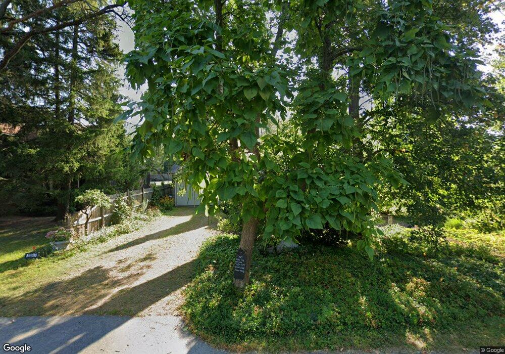
23193 N High Ridge Rd Barrington, IL 60010
West Lake Barrington NeighborhoodEstimated Value: $520,845 - $689,000
4
Beds
3
Baths
2,462
Sq Ft
$247/Sq Ft
Est. Value
About This Home
This home is located at 23193 N High Ridge Rd, Barrington, IL 60010 and is currently estimated at $607,461, approximately $246 per square foot. 23193 N High Ridge Rd is a home located in Lake County with nearby schools including Countryside Elementary School, Barrington Mdle School- Prairie Cmps, and Barrington High School.
Ownership History
Date
Name
Owned For
Owner Type
Purchase Details
Closed on
Jun 30, 2021
Sold by
Hobbs William W and Hobbs Laurie A
Bought by
Huesing Raymond E
Current Estimated Value
Home Financials for this Owner
Home Financials are based on the most recent Mortgage that was taken out on this home.
Original Mortgage
$331,200
Interest Rate
2.2%
Mortgage Type
New Conventional
Purchase Details
Closed on
Dec 19, 2003
Sold by
Lee Robert Keith and Lee Sherry H
Bought by
Hobbs William W and Hobbs Laurie A
Home Financials for this Owner
Home Financials are based on the most recent Mortgage that was taken out on this home.
Original Mortgage
$275,000
Interest Rate
6.08%
Mortgage Type
Balloon
Create a Home Valuation Report for This Property
The Home Valuation Report is an in-depth analysis detailing your home's value as well as a comparison with similar homes in the area
Home Values in the Area
Average Home Value in this Area
Purchase History
| Date | Buyer | Sale Price | Title Company |
|---|---|---|---|
| Huesing Raymond E | $414,000 | Chicago Title | |
| Hobbs William W | $375,000 | -- |
Source: Public Records
Mortgage History
| Date | Status | Borrower | Loan Amount |
|---|---|---|---|
| Previous Owner | Huesing Raymond E | $331,200 | |
| Previous Owner | Hobbs William W | $275,000 |
Source: Public Records
Tax History Compared to Growth
Tax History
| Year | Tax Paid | Tax Assessment Tax Assessment Total Assessment is a certain percentage of the fair market value that is determined by local assessors to be the total taxable value of land and additions on the property. | Land | Improvement |
|---|---|---|---|---|
| 2024 | $8,839 | $143,800 | $24,785 | $119,015 |
| 2023 | $9,791 | $138,200 | $23,493 | $114,707 |
| 2022 | $9,791 | $149,123 | $26,577 | $122,546 |
| 2021 | $9,639 | $146,587 | $26,125 | $120,462 |
| 2020 | $9,379 | $146,134 | $26,044 | $120,090 |
| 2019 | $8,995 | $142,278 | $25,357 | $116,921 |
| 2018 | $8,449 | $137,779 | $26,280 | $111,499 |
| 2017 | $8,354 | $135,011 | $25,752 | $109,259 |
| 2016 | $8,164 | $129,919 | $24,781 | $105,138 |
| 2015 | $7,744 | $121,852 | $23,242 | $98,610 |
| 2014 | $8,465 | $127,387 | $27,264 | $100,123 |
| 2012 | $8,200 | $129,577 | $27,733 | $101,844 |
Source: Public Records
Map
Nearby Homes
- 28629 W Ravine Dr
- 23490 N Spring Dr
- 23433 N Summit Dr
- 28442 W Main St
- 9209 Jasmine Way
- 1034 Heather Ct
- 28876 W Pioneer Grove Rd
- Lot 1 N Owl Ct
- 911 Johnson St
- 806 Norge Pkwy
- 5 Jacqueline Ln
- 28740 W Bloners Dr
- 6 Jacqueline Ln
- 24211 N Riverside Dr
- 23277 Enclave Ln
- 902 Spring Beach Way
- 503 N River Rd
- LOT 2 Asbury Ave
- 71 Flint Dr
- 300 Opatrny Dr Unit 122
- 23163 N High Ridge Rd
- 28801 W Craft Ct
- 28792 W Main St
- 23241 N High Ridge Rd
- 23204 N High Ridge Rd
- 28797 W Craft Ct
- 28799 W Park Dr
- 23166 N High Ridge Rd
- 28764 W Main St
- 28833 W Park Dr
- 23238 N High Ridge Rd
- 28884 W Main St
- 23105 N High Ridge Rd
- 28771 W Park Dr
- 23220 N Church St
- 23252 N High Ridge Rd
- 23140 N Church St
- 23170 N Church St
- 28916 W Main St
- 28753 W Park Dr
