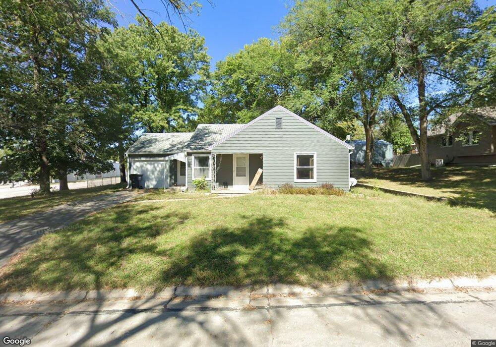
232 7th St Unadilla, NE 68454
Estimated Value: $143,000 - $208,000
2
Beds
1
Bath
1,054
Sq Ft
$167/Sq Ft
Est. Value
About This Home
This home is located at 232 7th St, Unadilla, NE 68454 and is currently estimated at $175,733, approximately $166 per square foot. 232 7th St is a home located in Otoe County with nearby schools including Elementary School at Syracuse and High School at Syracuse.
Ownership History
Date
Name
Owned For
Owner Type
Purchase Details
Closed on
Aug 23, 2018
Sold by
Walekr Brenda K
Bought by
Bartling James
Current Estimated Value
Purchase Details
Closed on
Jun 4, 2012
Sold by
Brown Angela and Brown Tom D
Bought by
Walker Brenda K
Home Financials for this Owner
Home Financials are based on the most recent Mortgage that was taken out on this home.
Original Mortgage
$50,000
Interest Rate
3.93%
Mortgage Type
New Conventional
Purchase Details
Closed on
May 19, 2009
Sold by
Bartling James Donovan
Bought by
Bartling Angela Pitt Hart
Create a Home Valuation Report for This Property
The Home Valuation Report is an in-depth analysis detailing your home's value as well as a comparison with similar homes in the area
Home Values in the Area
Average Home Value in this Area
Purchase History
| Date | Buyer | Sale Price | Title Company |
|---|---|---|---|
| Bartling James | $75,000 | Dc Title Agency | |
| Walker Brenda K | $65,000 | Otoe County Title Co | |
| Bartling Angela Pitt Hart | -- | None Available |
Source: Public Records
Mortgage History
| Date | Status | Borrower | Loan Amount |
|---|---|---|---|
| Previous Owner | Walker Brenda K | $50,000 |
Source: Public Records
Tax History Compared to Growth
Tax History
| Year | Tax Paid | Tax Assessment Tax Assessment Total Assessment is a certain percentage of the fair market value that is determined by local assessors to be the total taxable value of land and additions on the property. | Land | Improvement |
|---|---|---|---|---|
| 2024 | $2,165 | $120,877 | $10,913 | $109,964 |
| 2023 | $2,173 | $104,351 | $8,730 | $95,621 |
| 2022 | $1,831 | $88,414 | $8,730 | $79,684 |
| 2021 | $1,634 | $81,170 | $8,730 | $72,440 |
| 2020 | $1,609 | $74,580 | $8,730 | $65,850 |
| 2019 | $1,571 | $71,090 | $5,240 | $65,850 |
| 2018 | $1,340 | $63,530 | $5,240 | $58,290 |
| 2017 | $1,277 | $63,530 | $5,240 | $58,290 |
| 2016 | $1,276 | $63,530 | $5,240 | $58,290 |
| 2015 | $1,254 | $62,770 | $4,480 | $58,290 |
| 2014 | $1,323 | $62,770 | $4,480 | $58,290 |
| 2012 | $1,341 | $62,770 | $4,480 | $58,290 |
Source: Public Records
Map
Nearby Homes
- 440 9th St
- Lots 2 & 3 N 22nd Rd
- 21.85 Acres, N 14th Rd
- 1200 Parker Dr
- 561 S 26th Rd
- 525 S 26th Rd
- Hwy 50 & Hwy 2, I Rd
- 111 4th St
- 0000 County Rd D County Rd
- 256 6th St
- 0000 County Road D
- 703 Thorne St
- 411 7th St
- 460 Darby Ln
- 857 Poplar St
- 610 3rd St
- 691 5th St
- 712 Park St
- Hwy 50 & Hwy 2, NE 30th Rd
- lot 8 blk 3 Oak St