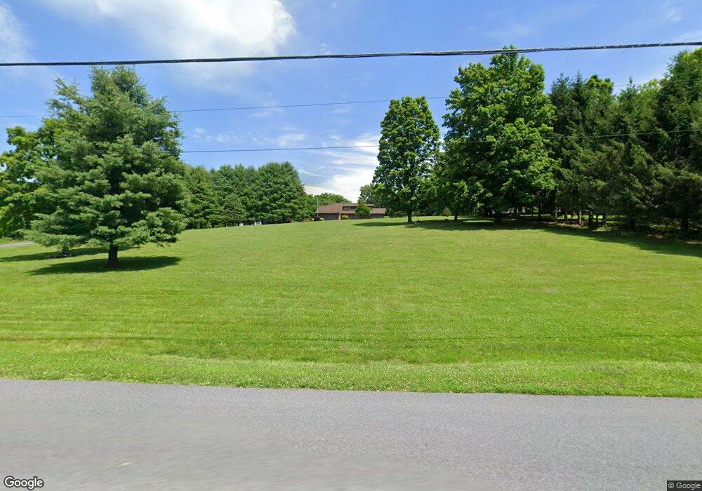
232 Allen Rd Salt Point, NY 12578
Estimated Value: $780,000 - $1,082,000
3
Beds
2
Baths
3,600
Sq Ft
$247/Sq Ft
Est. Value
About This Home
This home is located at 232 Allen Rd, Salt Point, NY 12578 and is currently estimated at $889,514, approximately $247 per square foot. 232 Allen Rd is a home located in Dutchess County with nearby schools including Franklin D Roosevelt Senior High School and Ridge School.
Ownership History
Date
Name
Owned For
Owner Type
Purchase Details
Closed on
Jul 21, 2021
Sold by
Josanna Berkow T
Bought by
Joan Marie Losey T
Current Estimated Value
Home Financials for this Owner
Home Financials are based on the most recent Mortgage that was taken out on this home.
Original Mortgage
$330,000
Outstanding Balance
$299,424
Interest Rate
2.9%
Mortgage Type
Purchase Money Mortgage
Estimated Equity
$590,090
Purchase Details
Closed on
Nov 15, 2010
Sold by
Isaacson Douglas
Bought by
Perri Albert
Create a Home Valuation Report for This Property
The Home Valuation Report is an in-depth analysis detailing your home's value as well as a comparison with similar homes in the area
Home Values in the Area
Average Home Value in this Area
Purchase History
| Date | Buyer | Sale Price | Title Company |
|---|---|---|---|
| Joan Marie Losey T | $678,000 | First American Title | |
| Perri Albert | $465,000 | Kevin Griffen |
Source: Public Records
Mortgage History
| Date | Status | Borrower | Loan Amount |
|---|---|---|---|
| Open | Joan Marie Losey T | $330,000 |
Source: Public Records
Tax History
| Year | Tax Paid | Tax Assessment Tax Assessment Total Assessment is a certain percentage of the fair market value that is determined by local assessors to be the total taxable value of land and additions on the property. | Land | Improvement |
|---|---|---|---|---|
| 2024 | $16,073 | $702,000 | $137,600 | $564,400 |
| 2023 | $15,060 | $665,000 | $137,600 | $527,400 |
| 2019 | $11,398 | $440,600 | $125,100 | $315,500 |
Source: Public Records
Map
Nearby Homes
- 31 Oak Grove Rd
- 2039 Salt Point Turnpike
- 2045 Salt Point Turnpike
- 912-918 Hollow Rd
- 2327 Salt Point Turnpike
- 5028-5030 Rt-82
- 12 Talleur Ln
- 166 Hibernia Rd
- 18 Blue Heron Ln Unit 18,20,21,26
- 352-354 Ruskey Ln
- 11 Bear Hollow Ln
- 8 Bear Hollow Ln
- 7 Bear Hollow Ln
- 62 Netherwood Plaza
- 28 Clinton Corners Rd
- 0 Schoolhouse Rd Unit KEY953250
- 0 Schoolhouse Rd Unit 20260654
- 65 Patricia Ln
- 0 E Fallkill Rd Unit ONEH6324654
- 27 Gallagher Dr
- 218 Allen Rd
- 200 Allen Rd
- 0 Allen Rd Unit 145445
- 0 Allen Rd Unit 402524
- 0 Allen Rd Unit H6098622
- 0 Allen Rd Unit 398430
- 192 Allen Rd
- 239 Allen Rd
- 211 Allen Rd
- 187 Allen Rd
- 73 Oak Grove Rd
- 184 Allen Rd
- 171 Allen Rd
- 0 Oak Grove Rd
- 169 Allen Rd Unit R2
- 182 Allen Rd
- 47 Oak Grove Rd
- 309 Allen Rd
- 300 Allen Rd
- 1346 Hollow Rd
Your Personal Tour Guide
Ask me questions while you tour the home.