232 Barwick Kea Rd Adrian, GA 31002
Estimated Value: $362,000 - $757,000
3
Beds
2
Baths
2,177
Sq Ft
$270/Sq Ft
Est. Value
About This Home
This home is located at 232 Barwick Kea Rd, Adrian, GA 31002 and is currently estimated at $587,657, approximately $269 per square foot. 232 Barwick Kea Rd is a home located in Emanuel County with nearby schools including Swainsboro High School.
Ownership History
Date
Name
Owned For
Owner Type
Purchase Details
Closed on
Jan 19, 2023
Sold by
Barwick Mark Smith
Bought by
Barwick Donna Sue Holder
Current Estimated Value
Purchase Details
Closed on
Mar 30, 2005
Sold by
Barwick Linton Elliott
Bought by
Barwick Gregory Elliott
Purchase Details
Closed on
Jan 18, 2005
Sold by
Barwick Linton Elliott
Bought by
Barwick Gregory Elliott and Barwick Mark Smith
Purchase Details
Closed on
Dec 21, 2004
Sold by
Downs Thomas Eugene
Bought by
Barwick Linton Elliott
Create a Home Valuation Report for This Property
The Home Valuation Report is an in-depth analysis detailing your home's value as well as a comparison with similar homes in the area
Home Values in the Area
Average Home Value in this Area
Purchase History
| Date | Buyer | Sale Price | Title Company |
|---|---|---|---|
| Barwick Donna Sue Holder | -- | -- | |
| Barwick Donna Sue Holden | -- | -- | |
| Barwick Gregory Elliott | -- | -- | |
| Barwick Gregory Elliott | -- | -- | |
| Barwick Linton Elliott | -- | -- |
Source: Public Records
Tax History Compared to Growth
Tax History
| Year | Tax Paid | Tax Assessment Tax Assessment Total Assessment is a certain percentage of the fair market value that is determined by local assessors to be the total taxable value of land and additions on the property. | Land | Improvement |
|---|---|---|---|---|
| 2024 | $4,003 | $197,932 | $118,452 | $79,480 |
| 2023 | $3,382 | $208,732 | $138,811 | $69,921 |
| 2022 | $3,511 | $203,088 | $138,811 | $64,277 |
| 2021 | $3,426 | $199,536 | $138,811 | $60,725 |
| 2020 | $3,046 | $151,717 | $108,579 | $43,138 |
| 2019 | $2,952 | $151,012 | $108,579 | $42,433 |
| 2018 | $4,345 | $151,012 | $108,579 | $42,433 |
| 2017 | $4,078 | $141,406 | $108,579 | $32,827 |
| 2016 | $2,537 | $140,831 | $105,782 | $35,049 |
| 2015 | -- | $140,831 | $105,782 | $35,049 |
| 2014 | -- | $114,354 | $105,003 | $9,351 |
| 2013 | -- | $113,736 | $104,439 | $9,296 |
Source: Public Records
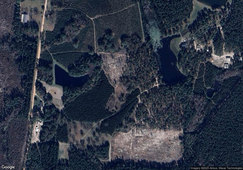
Map
Nearby Homes
- 35 Barwick Kea Rd
- 0 Walden Way Unit 10601502
- 210 W College St
- 311 Church St
- 0000 Hwy 171
- 87 Georgia Ave
- 0 Trinity Church Rd
- 0 John S Horton Rd Unit 10539405
- 499 Smith Chapel Rd
- 0 Old Wilson Rd
- 600 Alton Lawson Rd
- 400 Alton Lawson Rd
- 503 Alton Lawson Rd
- 0 Alton Lawson Rd
- Old Wilson Rd
- 2618 Georgia 86
- 0 Sardis Church Rd Unit 10601519
- 00 Poplar Springs Church Rd
- 250 Archers Pond Smith Rd
- 0 Poplar Springs Church Rd Unit 10557967
- 232 Barwick Kea Rd
- 279 Barwick Kea Rd
- 231 Foskey Rd
- 127 Barwick Kea Rd
- 340 Barwick Kea Rd
- 133 Foskey Rd
- 107 Barwick Kea Rd
- 955 Odomville Church Rd
- 28 David Moore Rd
- 918 Odomville Church Rd
- 10 David Moore Rd
- 140 Foskey Rd
- 890 Odomville Church Rd
- 3364 Us Highway 80 W
- 120 Foskey Rd
- 19 Canen Cove
- 9 Foskey Rd
- 12 Foskey Rd