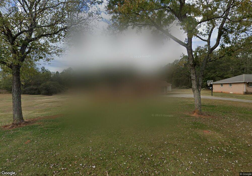
232 Brook Forest Dr Anderson, SC 29621
Estimated Value: $199,000 - $215,000
3
Beds
2
Baths
1,909
Sq Ft
$108/Sq Ft
Est. Value
About This Home
This home is located at 232 Brook Forest Dr, Anderson, SC 29621 and is currently estimated at $206,844, approximately $108 per square foot. 232 Brook Forest Dr is a home located in Anderson County with nearby schools including Nevitt Forest Elementary School, Glenview Middle School, and T.L. Hanna High School.
Ownership History
Date
Name
Owned For
Owner Type
Purchase Details
Closed on
Aug 17, 2011
Sold by
Hunter Stephanie A and Keasler Stephanie
Bought by
Williams James
Current Estimated Value
Home Financials for this Owner
Home Financials are based on the most recent Mortgage that was taken out on this home.
Original Mortgage
$77,972
Outstanding Balance
$6,376
Interest Rate
4.4%
Mortgage Type
FHA
Estimated Equity
$200,468
Purchase Details
Closed on
Jul 24, 2003
Sold by
Carson Michael C
Bought by
Hunter Stephanie A
Create a Home Valuation Report for This Property
The Home Valuation Report is an in-depth analysis detailing your home's value as well as a comparison with similar homes in the area
Home Values in the Area
Average Home Value in this Area
Purchase History
| Date | Buyer | Sale Price | Title Company |
|---|---|---|---|
| Williams James | $80,000 | -- | |
| Hunter Stephanie A | $98,450 | -- |
Source: Public Records
Mortgage History
| Date | Status | Borrower | Loan Amount |
|---|---|---|---|
| Open | Williams James | $77,972 |
Source: Public Records
Tax History
| Year | Tax Paid | Tax Assessment Tax Assessment Total Assessment is a certain percentage of the fair market value that is determined by local assessors to be the total taxable value of land and additions on the property. | Land | Improvement |
|---|---|---|---|---|
| 2024 | $512 | $3,680 | $410 | $3,270 |
| 2023 | $512 | $3,680 | $410 | $3,270 |
| 2022 | $481 | $3,680 | $410 | $3,270 |
| 2021 | $463 | $3,420 | $320 | $3,100 |
| 2020 | $457 | $3,420 | $320 | $3,100 |
| 2019 | $457 | $3,420 | $320 | $3,100 |
| 2018 | $465 | $3,420 | $320 | $3,100 |
| 2017 | -- | $3,420 | $320 | $3,100 |
| 2016 | $458 | $3,360 | $280 | $3,080 |
| 2015 | $467 | $3,360 | $280 | $3,080 |
| 2014 | $462 | $3,360 | $280 | $3,080 |
Source: Public Records
Map
Nearby Homes
- 607 Cold Springs Rd
- East West E West Parkway Hobson Rd
- 103 Princess Ave
- 120B Boxwood Ln
- 120A Boxwood Ln
- 2520 Fleming Dr
- 905 Bolt Dr
- 2020 Bolt Dr
- 302 Lloyd Dr
- 209 Lloyd Dr
- 106 Hanks Cir
- 400 Speyside Ln
- 400 Speyside Ln Unit 72
- 405 Speyside Ln
- 405 Speyside Ln Unit 82
- 508 Rice Park Dr
- 402 Speyside Ln
- 404 Speyside Ln
- 401 Speyside Ln
- 230 Islay Way
- 230 Brook Forest Dr
- 234 Brook Forest Dr
- 228 Brook Forest Dr
- 227 Brook Forest Dr
- 231 Brook Forest Dr
- 236 Brook Forest Dr
- 226 Brook Forest Dr
- 225 Brook Forest Dr
- 1165 Plantation Rd
- 224 Brook Forest Dr
- 223 Brook Forest Dr
- 238 Brook Forest Dr
- 226 Ponce Deleon Dr
- 226 Ponce Deleon Dr
- 221 Brook Forest Dr
- 222 Brook Forest Dr
- 222 Brook Forest Dr
- 237 Brook Forest Dr
- 240 Brook Forest Dr
- 229 Ponce Deleon Dr
Your Personal Tour Guide
Ask me questions while you tour the home.