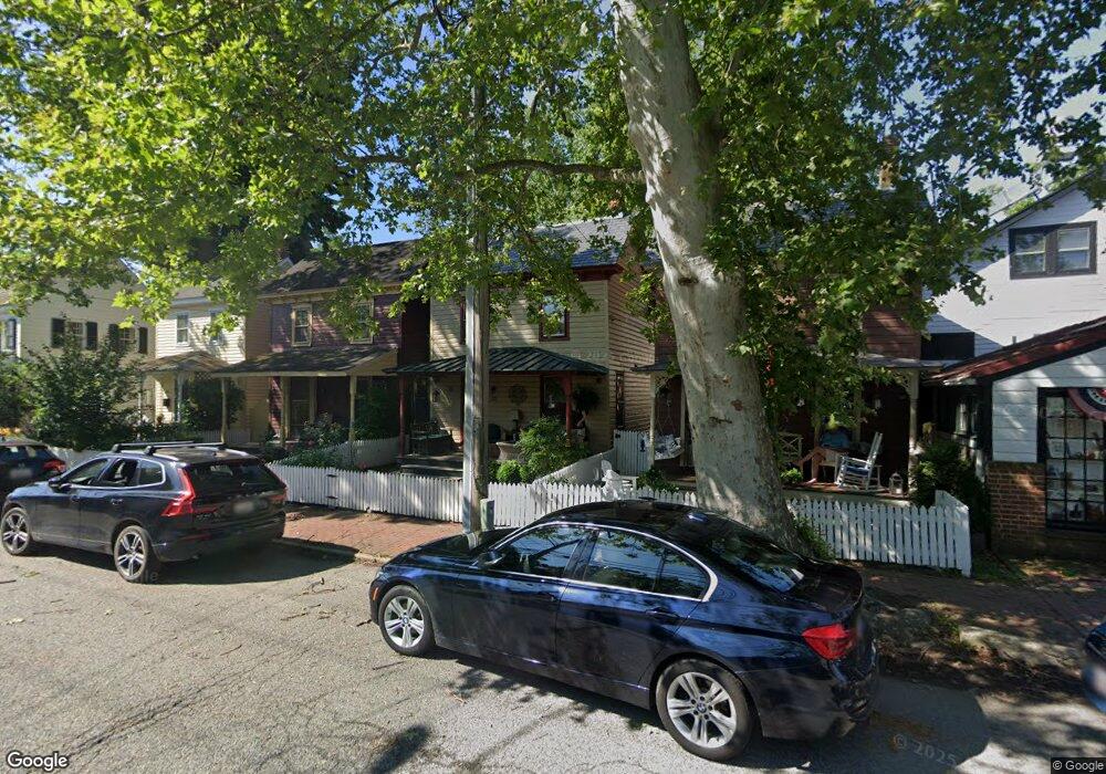
232 Cannon St Chestertown, MD 21620
Estimated Value: $284,000 - $355,000
--
Bed
2
Baths
1,152
Sq Ft
$276/Sq Ft
Est. Value
About This Home
This home is located at 232 Cannon St, Chestertown, MD 21620 and is currently estimated at $318,221, approximately $276 per square foot. 232 Cannon St is a home located in Kent County with nearby schools including Kent County Middle School, Kent County High School, and Chestertown Christian Academy.
Ownership History
Date
Name
Owned For
Owner Type
Purchase Details
Closed on
Feb 10, 2025
Sold by
Jones Kathleen G
Bought by
Jones Kathleen Garland and Comfort Robert Oliver
Current Estimated Value
Purchase Details
Closed on
Jul 21, 2003
Sold by
Riefe Kathleen G Jones
Bought by
Jones Kathleen G
Purchase Details
Closed on
Apr 23, 2002
Sold by
Riefe Kathleen Jones and Riefe Geoffrey H
Bought by
Riefe Kathleen G Jones
Purchase Details
Closed on
Nov 19, 1991
Sold by
Scott'S Point Ltd Partnership
Bought by
Riefe Kathleen Jones and Riefe Geoffrey H
Create a Home Valuation Report for This Property
The Home Valuation Report is an in-depth analysis detailing your home's value as well as a comparison with similar homes in the area
Home Values in the Area
Average Home Value in this Area
Purchase History
| Date | Buyer | Sale Price | Title Company |
|---|---|---|---|
| Jones Kathleen Garland | -- | None Listed On Document | |
| Jones Kathleen Garland | -- | None Listed On Document | |
| Jones Kathleen G | -- | -- | |
| Riefe Kathleen G Jones | -- | -- | |
| Riefe Kathleen Jones | $85,000 | -- |
Source: Public Records
Tax History Compared to Growth
Tax History
| Year | Tax Paid | Tax Assessment Tax Assessment Total Assessment is a certain percentage of the fair market value that is determined by local assessors to be the total taxable value of land and additions on the property. | Land | Improvement |
|---|---|---|---|---|
| 2025 | $3,464 | $221,000 | $140,200 | $80,800 |
| 2024 | $3,332 | $215,167 | $0 | $0 |
| 2023 | $3,198 | $209,333 | $0 | $0 |
| 2022 | $3,049 | $203,500 | $140,200 | $63,300 |
| 2021 | $2,830 | $203,167 | $0 | $0 |
| 2020 | $2,830 | $202,833 | $0 | $0 |
| 2019 | $2,564 | $202,500 | $140,200 | $62,300 |
| 2018 | $2,564 | $202,400 | $0 | $0 |
| 2017 | $2,371 | $202,300 | $0 | $0 |
| 2016 | -- | $202,200 | $0 | $0 |
| 2015 | -- | $202,200 | $0 | $0 |
| 2014 | $1,774 | $202,200 | $0 | $0 |
Source: Public Records
Map
Nearby Homes
- 206 Cannon St
- 349 High St
- 349 & 351 High St
- 119 High St
- 110 S Mill St
- 206 S Water St
- 105 High St
- 226 S Water St
- 201 Radcliffe Dr
- 108 S Kent St
- 117 N Water St Unit 1A
- 117 N Water St Unit 2A
- 517 High St
- 200 Washington Ave
- 234 N College Ave
- 423 Calvert St
- 624 High St
- 141 Prospect St
- 515 N Kent St
- 221 Richard Dr
- 234 Cannon St
- 230 Cannon St
- 228 Cannon St
- 236 Cannon St Unit B
- 236 Cannon St Unit C
- 236 Cannon St
- 203 S Cross St
- 226 Cannon St
- 238 Cannon St
- 238 Cannon St Unit B
- 207 S Cross St
- 207 S Cross St Unit 201
- 207 S Cross St Unit 301
- 207 S Cross St Unit C
- 207 S Cross St Unit 100
- 207 S Cross St Unit 300
- 117 S Cross St
- 113 S Cross St
- 224 Cannon St
- 0 Cannon St Unit 1007879282
