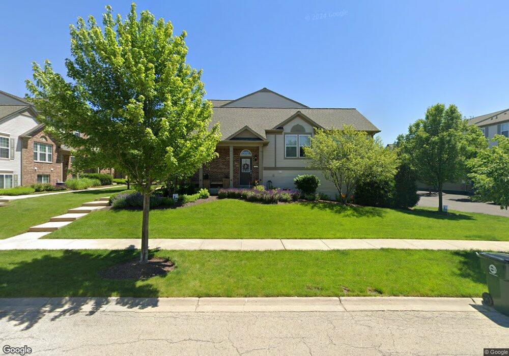
232 Devoe Dr Oswego, IL 60543
North Oswego NeighborhoodEstimated Value: $320,609 - $352,000
2
Beds
3
Baths
1,980
Sq Ft
$168/Sq Ft
Est. Value
About This Home
This home is located at 232 Devoe Dr, Oswego, IL 60543 and is currently estimated at $331,902, approximately $167 per square foot. 232 Devoe Dr is a home located in Kendall County with nearby schools including Southbury Elementary School, Murphy Junior High School, and Oswego East High School.
Ownership History
Date
Name
Owned For
Owner Type
Purchase Details
Closed on
Apr 14, 2018
Sold by
Mathison Pattie L and Mathison Jay
Bought by
Mathison Pattie L and Mathison Jay
Current Estimated Value
Purchase Details
Closed on
Sep 15, 2010
Sold by
Mb806 Llc
Bought by
Route 34 Partners Llc
Purchase Details
Closed on
Feb 16, 2010
Sold by
Pulte Home Corporation
Bought by
Mathison Pattie L
Home Financials for this Owner
Home Financials are based on the most recent Mortgage that was taken out on this home.
Original Mortgage
$183,612
Interest Rate
5.25%
Mortgage Type
FHA
Create a Home Valuation Report for This Property
The Home Valuation Report is an in-depth analysis detailing your home's value as well as a comparison with similar homes in the area
Home Values in the Area
Average Home Value in this Area
Purchase History
| Date | Buyer | Sale Price | Title Company |
|---|---|---|---|
| Mathison Pattie L | -- | None Available | |
| Route 34 Partners Llc | $970,000 | Chicago Title Insurance Co | |
| Mathison Pattie L | $187,000 | None Available |
Source: Public Records
Mortgage History
| Date | Status | Borrower | Loan Amount |
|---|---|---|---|
| Previous Owner | Mathison Pattie L | $183,612 |
Source: Public Records
Tax History
| Year | Tax Paid | Tax Assessment Tax Assessment Total Assessment is a certain percentage of the fair market value that is determined by local assessors to be the total taxable value of land and additions on the property. | Land | Improvement |
|---|---|---|---|---|
| 2024 | $6,768 | $90,097 | $10,446 | $79,651 |
| 2023 | $6,004 | $79,732 | $9,244 | $70,488 |
| 2022 | $6,004 | $72,484 | $8,404 | $64,080 |
| 2021 | $6,023 | $70,373 | $8,159 | $62,214 |
| 2020 | $5,952 | $68,993 | $7,999 | $60,994 |
| 2019 | $5,989 | $68,390 | $7,999 | $60,391 |
| 2018 | $5,816 | $66,067 | $8,944 | $57,123 |
| 2017 | $5,627 | $60,891 | $8,243 | $52,648 |
| 2016 | $5,240 | $56,380 | $7,632 | $48,748 |
| 2015 | $5,040 | $52,204 | $7,067 | $45,137 |
| 2014 | -- | $53,819 | $7,286 | $46,533 |
| 2013 | -- | $56,651 | $7,669 | $48,982 |
Source: Public Records
Map
Nearby Homes
- 240 Devoe Dr
- 608 Hawley Dr Unit 4342
- 464 Valentine Way
- 460 Valentine Way
- 3017 Lundquist Dr
- 605 Murdock Place
- 241 Cooney Way
- 353 Danforth Dr
- 234 Cooney Way
- 393 Danforth Dr
- 601 Murdock Place
- 391 Danforth Dr
- 602 Murdock Place
- 714 Erwin St
- 347 Danforth Dr
- 339 Danforth Dr
- 2322 Pagosa Springs Dr
- 115 Henderson St
- 379 Danforth Dr
- 377 Danforth Dr
Your Personal Tour Guide
Ask me questions while you tour the home.