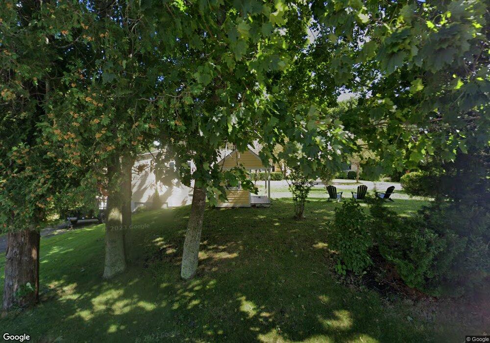
232 Foreside Rd Cumberland Foreside, ME 04110
Cumberland Foreside NeighborhoodEstimated Value: $1,121,000 - $1,480,000
5
Beds
4
Baths
3,399
Sq Ft
$387/Sq Ft
Est. Value
About This Home
This home is located at 232 Foreside Rd, Cumberland Foreside, ME 04110 and is currently estimated at $1,314,099, approximately $386 per square foot. 232 Foreside Rd is a home located in Cumberland County with nearby schools including Mabel I. Wilson School, Greely Middle School 4-5, and Greely Middle School.
Ownership History
Date
Name
Owned For
Owner Type
Purchase Details
Closed on
Dec 20, 2022
Sold by
Dougherty Celeste J
Bought by
Dougherty Celeste J and Martin Michael K
Current Estimated Value
Create a Home Valuation Report for This Property
The Home Valuation Report is an in-depth analysis detailing your home's value as well as a comparison with similar homes in the area
Home Values in the Area
Average Home Value in this Area
Purchase History
| Date | Buyer | Sale Price | Title Company |
|---|---|---|---|
| Dougherty Celeste J | -- | None Available |
Source: Public Records
Tax History
| Year | Tax Paid | Tax Assessment Tax Assessment Total Assessment is a certain percentage of the fair market value that is determined by local assessors to be the total taxable value of land and additions on the property. | Land | Improvement |
|---|---|---|---|---|
| 2025 | $12,983 | $515,600 | $188,600 | $327,000 |
| 2024 | $11,988 | $515,600 | $188,600 | $327,000 |
| 2023 | $11,421 | $515,600 | $188,600 | $327,000 |
| 2022 | $10,931 | $515,600 | $188,600 | $327,000 |
| 2021 | $10,596 | $515,600 | $188,600 | $327,000 |
| 2020 | $10,492 | $515,600 | $188,600 | $327,000 |
| 2019 | $10,235 | $515,600 | $188,600 | $327,000 |
| 2018 | $10,098 | $512,600 | $188,600 | $324,000 |
| 2017 | $9,637 | $512,600 | $188,600 | $324,000 |
| 2016 | $9,355 | $512,600 | $188,600 | $324,000 |
| 2015 | $9,278 | $512,600 | $188,600 | $324,000 |
| 2014 | $8,919 | $512,600 | $188,600 | $324,000 |
| 2013 | $8,714 | $512,600 | $188,600 | $324,000 |
Source: Public Records
Map
Nearby Homes
- 7 Mackworth Ln
- 5 Torry Pine Dr Unit 31
- 5 Heritage Ln
- 0 Ravine Dr Unit 1652137
- 59 Astilbe Ln
- 397 Portland St
- 35 Deans Way
- 10 Eagles Way Unit 10
- 267 W Elm St
- 52 Maeves Way
- 11 Coastal Pines Lot 5
- 22 Tenney St
- 18 Portland St
- 63 Underwood Rd
- 59 Underwood Rd
- 1 Railroad Square Unit 305
- 6 Daybreak Ln Unit 18
- 52 Blueberry Cove Rd Unit 52
- 24 Amerescoggin Rd
- 46 Rainbow Farm Rd
- 233 Foreside Rd
- 228 Foreside Rd
- 15 Powell Rd
- 227 Foreside Rd
- 14 Powell Rd
- 240 Foreside Rd
- 20 Powell Rd
- 224 Foreside Rd
- 4 Town Landing Rd
- 223 Foreside Rd
- 244 Foreside Rd
- 26 Powell Rd
- 3 Ledge Rd
- 2 Ledge Rd
- 12 Town Landing
- 12 Town Landing Rd
- 10 Town Landing Rd
- 8 Schooner Ridge Rd
- 3 Town Landing Rd
- 32 Powell Rd
Your Personal Tour Guide
Ask me questions while you tour the home.