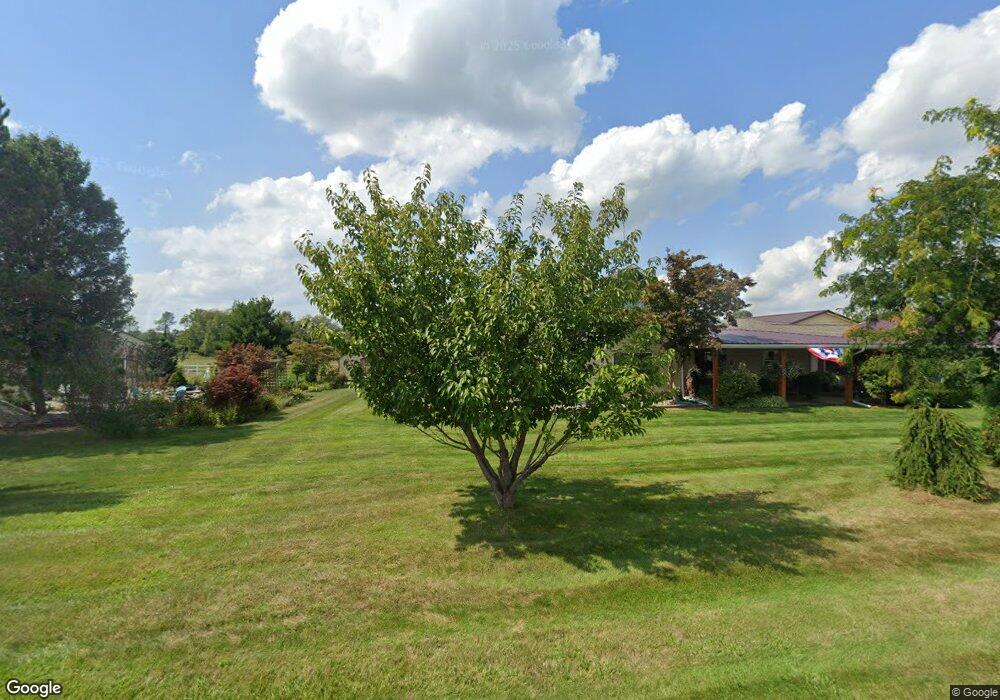
232 Log Rd Bronson, MI 49028
Estimated Value: $244,000 - $337,000
3
Beds
2
Baths
1,964
Sq Ft
$143/Sq Ft
Est. Value
About This Home
This home is located at 232 Log Rd, Bronson, MI 49028 and is currently estimated at $281,395, approximately $143 per square foot. 232 Log Rd is a home located in Branch County with nearby schools including Anderson Elementary School, Ryan Elementary School, and Bronson Junior/Senior High School.
Ownership History
Date
Name
Owned For
Owner Type
Purchase Details
Closed on
Sep 18, 2004
Sold by
Crabill Tena
Bought by
Printke Tena G and Crabill Tena
Current Estimated Value
Home Financials for this Owner
Home Financials are based on the most recent Mortgage that was taken out on this home.
Original Mortgage
$77,750
Interest Rate
5.32%
Mortgage Type
New Conventional
Create a Home Valuation Report for This Property
The Home Valuation Report is an in-depth analysis detailing your home's value as well as a comparison with similar homes in the area
Purchase History
| Date | Buyer | Sale Price | Title Company |
|---|---|---|---|
| Printke Tena G | -- | Transtar National Title |
Source: Public Records
Mortgage History
| Date | Status | Borrower | Loan Amount |
|---|---|---|---|
| Closed | Printke Tena G | $77,750 |
Source: Public Records
Tax History
| Year | Tax Paid | Tax Assessment Tax Assessment Total Assessment is a certain percentage of the fair market value that is determined by local assessors to be the total taxable value of land and additions on the property. | Land | Improvement |
|---|---|---|---|---|
| 2025 | $1,879 | $125,900 | $0 | $0 |
| 2024 | $7 | $122,100 | $0 | $0 |
| 2023 | $656 | $100,600 | $0 | $0 |
| 2022 | $656 | $102,200 | $0 | $0 |
| 2021 | $2,522 | $92,500 | $0 | $0 |
| 2020 | $2,522 | $92,600 | $0 | $0 |
| 2019 | -- | $84,500 | $0 | $0 |
| 2018 | -- | $68,500 | $0 | $0 |
| 2017 | -- | $70,200 | $0 | $0 |
| 2016 | -- | $70,300 | $0 | $0 |
| 2015 | -- | $65,400 | $0 | $0 |
| 2014 | -- | $46,400 | $0 | $0 |
| 2013 | -- | $52,000 | $0 | $0 |
Source: Public Records
Map
Nearby Homes
- 141 S Snow Prairie Rd
- 688 W Chicago Rd
- 317 S Parham Rd
- 234 N Lincoln St
- 325 N Lincoln St
- 150 Washington St
- 322 W Chicago Rd
- 644 S Matteson St
- 230 Compton St
- 410 Franklin St
- 505 W Chicago St
- 201 W Hatmaker Rd
- 368 Cranson Rd
- 769 Kosmerick Rd
- 0 E Rose Rd
- 187 S Behnke Rd
- 104 Cardinal Dr
- 282 W Colon Rd
- 0 Bawden Rd
- 130 Osborn Rd
Your Personal Tour Guide
Ask me questions while you tour the home.