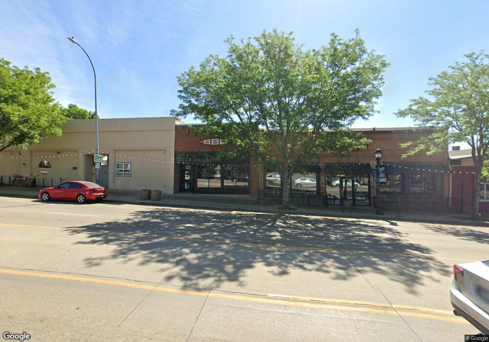
232 Main St Longmont, CO 80501
Business District NeighborhoodEstimated Value: $554,129
Studio
--
Bath
4,800
Sq Ft
$115/Sq Ft
Est. Value
About This Home
This home is located at 232 Main St, Longmont, CO 80501 and is currently estimated at $554,129, approximately $115 per square foot. 232 Main St is a home located in Boulder County with nearby schools including Columbine Elementary School, Trail Ridge Middle School, and Skyline High School.
Ownership History
Date
Name
Owned For
Owner Type
Purchase Details
Closed on
May 16, 2017
Sold by
Longmont Investors Llc
Bought by
2320 Main Longmont Llc
Current Estimated Value
Home Financials for this Owner
Home Financials are based on the most recent Mortgage that was taken out on this home.
Original Mortgage
$3,255,000
Outstanding Balance
$545,933
Interest Rate
4.1%
Mortgage Type
Credit Line Revolving
Estimated Equity
$8,196
Purchase Details
Closed on
Apr 4, 2014
Sold by
Peters Ronald K and Peters Rhoda R
Bought by
Mandery Troy
Home Financials for this Owner
Home Financials are based on the most recent Mortgage that was taken out on this home.
Original Mortgage
$224,000
Interest Rate
4.41%
Mortgage Type
Commercial
Purchase Details
Closed on
Dec 8, 1972
Bought by
Mandery Troy
Create a Home Valuation Report for This Property
The Home Valuation Report is an in-depth analysis detailing your home's value as well as a comparison with similar homes in the area
Home Values in the Area
Average Home Value in this Area
Purchase History
| Date | Buyer | Sale Price | Title Company |
|---|---|---|---|
| 2320 Main Longmont Llc | -- | Fntg | |
| Mandery Troy | $280,000 | Stewart Title | |
| Mandery Troy | $28,200 | -- |
Source: Public Records
Mortgage History
| Date | Status | Borrower | Loan Amount |
|---|---|---|---|
| Open | 2320 Main Longmont Llc | $3,255,000 | |
| Previous Owner | Mandery Troy | $224,000 |
Source: Public Records
Tax History
| Year | Tax Paid | Tax Assessment Tax Assessment Total Assessment is a certain percentage of the fair market value that is determined by local assessors to be the total taxable value of land and additions on the property. | Land | Improvement |
|---|---|---|---|---|
| 2025 | $16,341 | $179,712 | $54,000 | $125,712 |
| 2024 | $16,341 | $179,712 | $54,000 | $125,712 |
| 2023 | $16,130 | $162,351 | $57,335 | $113,386 |
| 2022 | $9,138 | $87,899 | $28,710 | $59,189 |
| 2021 | $9,004 | $87,899 | $28,710 | $59,189 |
| 2020 | $8,205 | $80,330 | $28,710 | $51,620 |
| 2019 | $8,082 | $80,330 | $28,710 | $51,620 |
| 2018 | $9,054 | $90,556 | $47,511 | $43,045 |
| 2017 | $8,938 | $90,556 | $47,511 | $43,045 |
| 2016 | $8,313 | $82,650 | $15,950 | $66,700 |
| 2015 | $7,942 | $43,703 | $16,443 | $27,260 |
| 2014 | $4,301 | $43,703 | $16,443 | $27,260 |
Source: Public Records
Map
Nearby Homes
- 226 Pratt St Unit 226
- 318 4th Ave
- 400 Emery St Unit 202
- 831 4th Ave
- 409 Terry St Unit B
- 201 Pratt St
- 422 Atwood St
- 536 Atwood St
- 120 Bowen St
- 619 Pratt St
- 235 Bowen St
- 36 Reed Place
- 104 Rothrock Place
- 820 Kimbark St Unit B
- 8 Elizabeth Ct
- 725 Gay St
- 406 Sunnyside Ln
- 128 E 5th Ave
- 140 E 5th Ave
- 832 Gay St
Your Personal Tour Guide
Ask me questions while you tour the home.