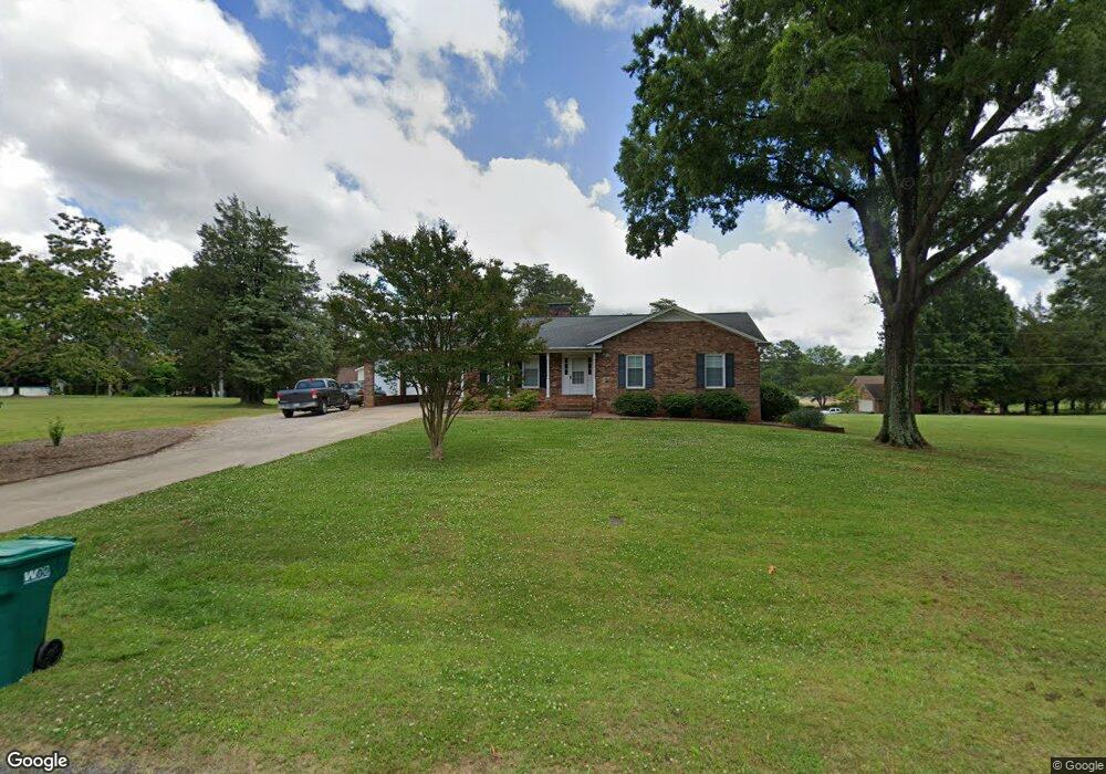
232 Raye Dr Winston Salem, NC 27107
Estimated Value: $226,000 - $310,755
3
Beds
2
Baths
4,424
Sq Ft
$60/Sq Ft
Est. Value
About This Home
This home is located at 232 Raye Dr, Winston Salem, NC 27107 and is currently estimated at $265,939, approximately $60 per square foot. 232 Raye Dr is a home located in Davidson County with nearby schools including Wallburg Elementary School, Oak Grove Middle School, and Oak Grove High School.
Ownership History
Date
Name
Owned For
Owner Type
Purchase Details
Closed on
Sep 18, 2020
Sold by
Barker Bruce J and Barker Elizabeth W
Bought by
Barker Marie Elaine
Current Estimated Value
Purchase Details
Closed on
Aug 15, 2005
Sold by
Stewart Donnie L and Stewart Kathryn P
Bought by
Barker Bruce J and Barker Elizabeth W
Home Financials for this Owner
Home Financials are based on the most recent Mortgage that was taken out on this home.
Original Mortgage
$144,000
Interest Rate
3.87%
Mortgage Type
Purchase Money Mortgage
Purchase Details
Closed on
Jun 20, 2005
Sold by
Massey William M and Massey Sandra W
Bought by
Stewart Donnie L and Stewart Kathryn P
Home Financials for this Owner
Home Financials are based on the most recent Mortgage that was taken out on this home.
Original Mortgage
$144,000
Interest Rate
3.87%
Mortgage Type
Purchase Money Mortgage
Create a Home Valuation Report for This Property
The Home Valuation Report is an in-depth analysis detailing your home's value as well as a comparison with similar homes in the area
Home Values in the Area
Average Home Value in this Area
Purchase History
| Date | Buyer | Sale Price | Title Company |
|---|---|---|---|
| Barker Marie Elaine | $123,000 | None Available | |
| Barker Bruce J | $144,000 | None Available | |
| Stewart Donnie L | $146,000 | None Available |
Source: Public Records
Mortgage History
| Date | Status | Borrower | Loan Amount |
|---|---|---|---|
| Previous Owner | Barker Bruce J | $144,000 | |
| Previous Owner | Stewart Donnie L | $110,200 |
Source: Public Records
Tax History
| Year | Tax Paid | Tax Assessment Tax Assessment Total Assessment is a certain percentage of the fair market value that is determined by local assessors to be the total taxable value of land and additions on the property. | Land | Improvement |
|---|---|---|---|---|
| 2025 | $1,351 | $193,200 | $0 | $0 |
| 2024 | $1,280 | $188,360 | $0 | $0 |
| 2023 | $1,280 | $188,360 | $0 | $0 |
| 2022 | $1,280 | $188,360 | $0 | $0 |
| 2021 | $1,280 | $188,360 | $0 | $0 |
| 2020 | $1,084 | $158,890 | $0 | $0 |
| 2019 | $1,100 | $158,890 | $0 | $0 |
| 2018 | $1,105 | $158,890 | $0 | $0 |
| 2017 | $1,105 | $158,890 | $0 | $0 |
| 2016 | $1,100 | $158,890 | $0 | $0 |
| 2015 | $1,100 | $158,890 | $0 | $0 |
| 2014 | $1,046 | $150,940 | $0 | $0 |
Source: Public Records
Map
Nearby Homes
- 129 Sunset Ct
- 4405 Thomasville Rd
- 0 Zachary St
- 4535 Zachary St
- 465 Wentworth Dr
- 429 Wentworth Dr
- 4625 Yuma Ct
- 572 Fieldtop Dr
- 5484 Friendship Ledford Rd
- 0 Alvis Ln
- 4260 Glenmore Creek Dr
- 589 Alvis Ln
- 114 Old Heritage Dr
- 179 Ryder Ct
- 5061 Reid Rd
- 282 Heatherwood Dr
- 293 Old Heritage Dr
- 330 Old Heritage Dr
- 1050 Medinah Dr
- 283 Norwood Hills Dr
Your Personal Tour Guide
Ask me questions while you tour the home.