232 Red Tail Rd Unit (Lot 116) Polson, MT 59860
Estimated Value: $119,709 - $368,000
--
Bed
--
Bath
--
Sq Ft
0.34
Acres
About This Home
This home is located at 232 Red Tail Rd Unit (Lot 116), Polson, MT 59860 and is currently estimated at $210,570. 232 Red Tail Rd Unit (Lot 116) is a home located in Lake County with nearby schools including Cherry Valley School, Linderman Elementary School, and Polson Middle School (7-8).
Ownership History
Date
Name
Owned For
Owner Type
Purchase Details
Closed on
Dec 16, 2022
Sold by
Rose Kristen R
Bought by
Dkj Tonui Llc
Current Estimated Value
Purchase Details
Closed on
Jul 5, 2018
Sold by
Fischer Christine K
Bought by
Rose Kristen R
Purchase Details
Closed on
Jun 19, 2006
Sold by
Northwest Holdings Llc
Bought by
Fischer Cari L and Fischer Christine K
Home Financials for this Owner
Home Financials are based on the most recent Mortgage that was taken out on this home.
Original Mortgage
$138,465
Interest Rate
6.55%
Mortgage Type
Purchase Money Mortgage
Create a Home Valuation Report for This Property
The Home Valuation Report is an in-depth analysis detailing your home's value as well as a comparison with similar homes in the area
Home Values in the Area
Average Home Value in this Area
Purchase History
| Date | Buyer | Sale Price | Title Company |
|---|---|---|---|
| Dkj Tonui Llc | -- | -- | |
| Rose Kristen R | -- | None Available | |
| Fischer Cari L | -- | None Available |
Source: Public Records
Mortgage History
| Date | Status | Borrower | Loan Amount |
|---|---|---|---|
| Previous Owner | Fischer Cari L | $138,465 |
Source: Public Records
Tax History Compared to Growth
Tax History
| Year | Tax Paid | Tax Assessment Tax Assessment Total Assessment is a certain percentage of the fair market value that is determined by local assessors to be the total taxable value of land and additions on the property. | Land | Improvement |
|---|---|---|---|---|
| 2025 | $1,178 | $267,387 | $0 | $0 |
| 2024 | $759 | $96,619 | $0 | $0 |
| 2023 | $704 | $96,619 | $0 | $0 |
| 2022 | $675 | $78,674 | $0 | $0 |
| 2021 | $749 | $78,674 | $0 | $0 |
| 2020 | $777 | $81,485 | $0 | $0 |
| 2019 | $788 | $81,485 | $0 | $0 |
| 2018 | $834 | $87,282 | $0 | $0 |
| 2017 | $816 | $87,282 | $0 | $0 |
| 2016 | $1,227 | $130,962 | $0 | $0 |
| 2015 | $1,179 | $130,962 | $0 | $0 |
| 2014 | $1,322 | $91,687 | $0 | $0 |
Source: Public Records
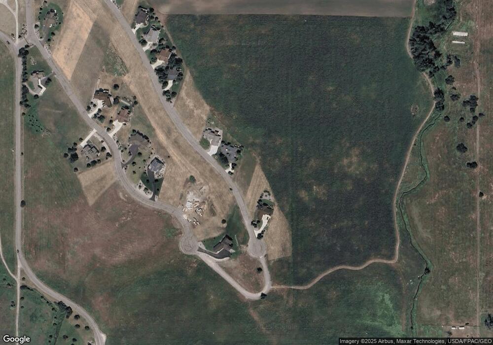
Map
Nearby Homes
- 227 Pheasant Ridge
- 213 Pheasant Ridge
- 116 Red Tail Rd
- 212 Pheasant Ridge Ln
- 372 Hawk Dr
- 102 Marias St
- 100 Reliance Landing
- 525 Hawk Dr
- Nhn Tundra Swan Way
- LOT 34 Tundra Swan Way
- 189 Pheasant Ridge
- Lot #7 View Areas Dr
- 36184 Caroline Ln
- 294 Montana Landing
- nhn Hawk Dr
- 107 Kari Ln
- 140 Kari Ln
- 120 Heritage Ln
- 205 Shawnee Ln
- 403 White Fox Run
- 232 Red Tail Rd
- 230 Red Tail Rd
- 234 Red Tail Rd Unit (Lot 117)
- 228 Red Tail Rd
- 228 Redtail Rd
- 110 Red Tail Rd
- 105 Red Tail Rd
- 117 Red Tail Rd
- 103 Red Tail Rd
- 236 Red Tail Rd Unit (Lot 118)
- 236 Red Tail Rd
- 224 Pheasant Ridge
- 224 Pheasant Ridge Unit (Lot 210)
- 238 Redtail Rd
- 222 Pheasant Ridge
- 228 Pheasant Ridge Unit Lot 212
- 228 Pheasant Ridge (Lot 212)
- 228 Pheasant Ridge Ln Unit Lot 212
- 228 Pheasant Ridge Ln
- 228 Pheasant Ridge