2320 Burning Tree Rd Half Moon Bay, CA 94019
Estimated Value: $2,124,000 - $2,702,000
4
Beds
4
Baths
4,277
Sq Ft
$549/Sq Ft
Est. Value
About This Home
This home is located at 2320 Burning Tree Rd, Half Moon Bay, CA 94019 and is currently estimated at $2,349,629, approximately $549 per square foot. 2320 Burning Tree Rd is a home located in San Mateo County with nearby schools including Alvin S. Hatch Elementary School, Manuel F. Cunha Intermediate School, and Half Moon Bay High School.
Ownership History
Date
Name
Owned For
Owner Type
Purchase Details
Closed on
Apr 20, 2022
Sold by
Charise/Jack Mchugh 2000 Trust
Bought by
Charise/Jack Mchugh 2000 Trust
Current Estimated Value
Home Financials for this Owner
Home Financials are based on the most recent Mortgage that was taken out on this home.
Original Mortgage
$4,200,000
Outstanding Balance
$4,185,331
Interest Rate
5.11%
Mortgage Type
Credit Line Revolving
Estimated Equity
-$1,835,702
Purchase Details
Closed on
May 20, 2020
Sold by
Mchugh John D and Mchugh Charise H
Bought by
Mchugh John D and Mchugh Charise Hale
Home Financials for this Owner
Home Financials are based on the most recent Mortgage that was taken out on this home.
Original Mortgage
$765,600
Interest Rate
3.3%
Mortgage Type
New Conventional
Purchase Details
Closed on
Mar 27, 2017
Sold by
Mchugh John U and Mchugh Charise H
Bought by
Mchugh Ii John D and Mchugh Charise Hale
Home Financials for this Owner
Home Financials are based on the most recent Mortgage that was taken out on this home.
Original Mortgage
$970,500
Interest Rate
4.12%
Mortgage Type
Adjustable Rate Mortgage/ARM
Purchase Details
Closed on
Dec 7, 2004
Sold by
Mchugh John D and Mchugh Charise Hale
Bought by
Mchugh Ii John D and Mchugh Charise Hale
Home Financials for this Owner
Home Financials are based on the most recent Mortgage that was taken out on this home.
Original Mortgage
$650,000
Interest Rate
5%
Mortgage Type
Purchase Money Mortgage
Purchase Details
Closed on
Nov 3, 2001
Sold by
Mchugh John D and Mchugh Charise Hale
Bought by
Mchugh Ii John D and Mchugh Charise Hale
Home Financials for this Owner
Home Financials are based on the most recent Mortgage that was taken out on this home.
Original Mortgage
$650,000
Interest Rate
5.62%
Purchase Details
Closed on
Jun 30, 2000
Sold by
Mchugh John D and Mchugh Charise H
Bought by
Mchugh Ii John D and Mchugh Charise Hale
Create a Home Valuation Report for This Property
The Home Valuation Report is an in-depth analysis detailing your home's value as well as a comparison with similar homes in the area
Home Values in the Area
Average Home Value in this Area
Purchase History
| Date | Buyer | Sale Price | Title Company |
|---|---|---|---|
| Charise/Jack Mchugh 2000 Trust | -- | Lawyers Title | |
| Mchugh John D | -- | Lawyers Title Company | |
| Mchugh John D | -- | Lawyers Title Company | |
| Mchugh Ii John D | -- | Lawyers Title Company | |
| Mchugh John D | -- | Lawyers Title Company | |
| Mchugh Ii John D | -- | Financial Title Company | |
| Mchugh John D | -- | Financial Title Company | |
| Mchugh Ii John D | -- | Chicago Title Insurance Co | |
| Mchugh Ii John D | -- | Chicago Title Co | |
| Mchugh Ii John D | -- | -- |
Source: Public Records
Mortgage History
| Date | Status | Borrower | Loan Amount |
|---|---|---|---|
| Open | Charise/Jack Mchugh 2000 Trust | $4,200,000 | |
| Previous Owner | Mchugh John D | $765,600 | |
| Previous Owner | Mchugh John D | $970,500 | |
| Previous Owner | Mchugh John D | $650,000 | |
| Previous Owner | Mchugh Ii John D | $650,000 |
Source: Public Records
Tax History
| Year | Tax Paid | Tax Assessment Tax Assessment Total Assessment is a certain percentage of the fair market value that is determined by local assessors to be the total taxable value of land and additions on the property. | Land | Improvement |
|---|---|---|---|---|
| 2025 | $10,354 | $817,215 | $195,221 | $621,994 |
| 2023 | $10,354 | $785,485 | $187,642 | $597,843 |
| 2022 | $9,687 | $770,084 | $183,963 | $586,121 |
| 2021 | $9,471 | $754,985 | $180,356 | $574,629 |
| 2020 | $9,363 | $747,244 | $178,507 | $568,737 |
| 2019 | $9,405 | $732,593 | $175,007 | $557,586 |
| 2018 | $9,317 | $718,229 | $171,576 | $546,653 |
| 2017 | $8,596 | $704,147 | $168,212 | $535,935 |
| 2016 | $8,495 | $690,341 | $164,914 | $525,427 |
| 2015 | $8,378 | $679,972 | $162,437 | $517,535 |
| 2014 | $8,445 | $666,654 | $159,256 | $507,398 |
Source: Public Records
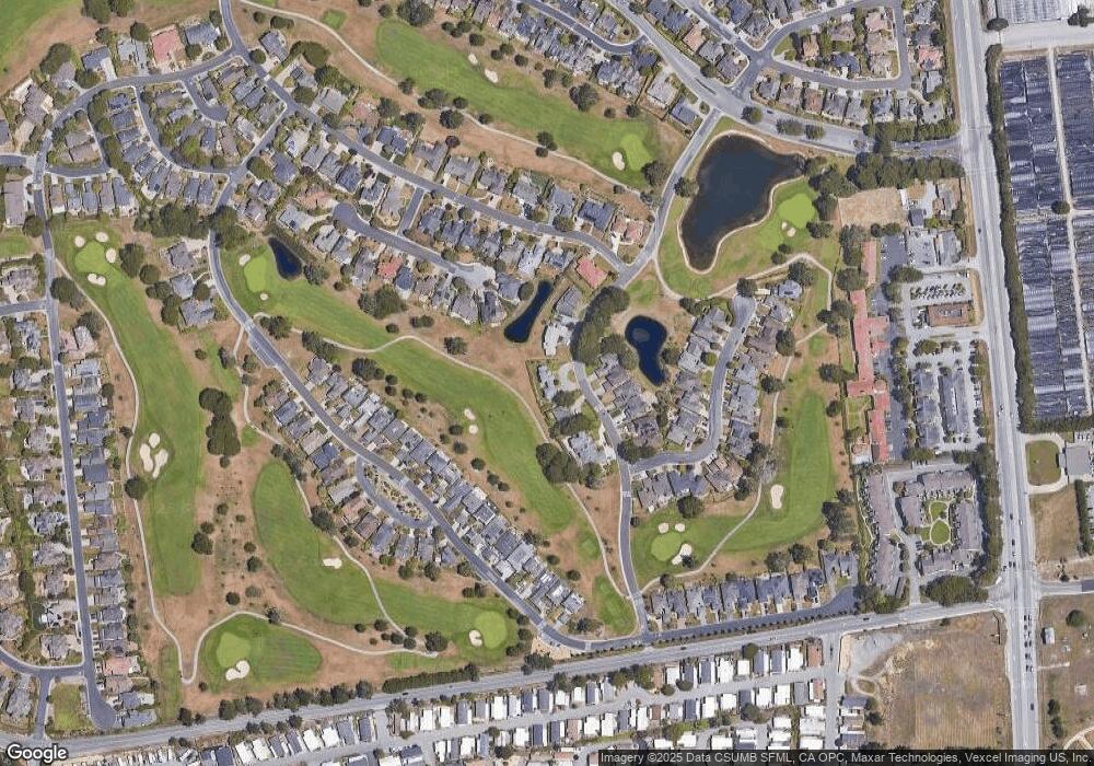
Map
Nearby Homes
- 2329 Burning Tree Rd
- 440 Burning Tree Ct
- 370 Burning Tree Ct
- 175 Troon Way Unit 15
- 3 Lighthouse Rd Unit 3
- 23 Sea Breeze Dr Unit 23
- 19 Dolphin Ct Unit 19
- 6 Sunset Terrace Unit 6
- 8 Coral Way Unit 8
- 36 Oceanview Ave Unit 36
- 37 Oceanview Ave Unit 37
- 33 Sailfish Ct Unit 33
- 587 Creekside Dr
- 14 Driftwood Trail Unit 14
- 25 Merion Rd
- 21 Merion Rd
- 181 Turnberry Rd
- 15 Ashdown Place
- 109 Carnoustie Dr
- 200 Dolores Ave
- 2330 Burning Tree Rd
- 2310 Burning Tree Rd
- 2289 Burning Tree Rd
- 2299 Burning Tree Rd
- 2309 Burning Tree Rd
- 2340 Burning Tree Rd
- 2319 Burning Tree Rd
- 22 Greenbrier Ct
- 24 Greenbrier Ct
- 20 Greenbrier Ct
- 444 Greenbrier Rd
- 450 Burning Tree Ct
- 440 Greenbrier Rd
- 436 Greenbrier Rd
- 432 Greenbrier Rd
- 18 Greenbrier Ct
- 410 Burning Tree Ct
- 420 Burning Tree Ct
- 400 Burning Tree Ct
- 451 Burning Tree Ct