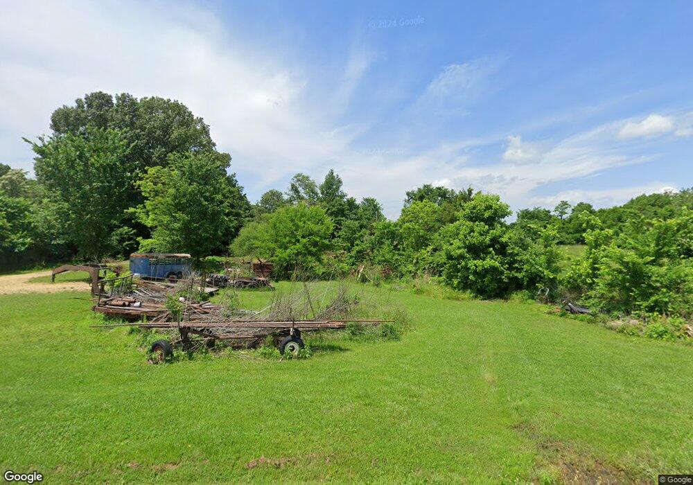
2323 Ralston Rd Martin, TN 38237
Estimated Value: $385,000 - $575,000
--
Bed
--
Bath
2,586
Sq Ft
$190/Sq Ft
Est. Value
About This Home
This home is located at 2323 Ralston Rd, Martin, TN 38237 and is currently estimated at $492,358, approximately $190 per square foot. 2323 Ralston Rd is a home.
Ownership History
Date
Name
Owned For
Owner Type
Purchase Details
Closed on
May 29, 2019
Sold by
Rea Michael D and Rea Diane
Bought by
Johnson Corey S and Johnson Autumn D
Current Estimated Value
Home Financials for this Owner
Home Financials are based on the most recent Mortgage that was taken out on this home.
Original Mortgage
$308,750
Outstanding Balance
$271,467
Interest Rate
4.1%
Mortgage Type
New Conventional
Estimated Equity
$220,891
Purchase Details
Closed on
Nov 27, 2018
Sold by
Stover George Byron
Bought by
Rea Michael D and Rea Dian
Purchase Details
Closed on
Apr 29, 2011
Sold by
Alexander Marvin
Bought by
Rea Michael D and Rea Diane
Create a Home Valuation Report for This Property
The Home Valuation Report is an in-depth analysis detailing your home's value as well as a comparison with similar homes in the area
Home Values in the Area
Average Home Value in this Area
Purchase History
| Date | Buyer | Sale Price | Title Company |
|---|---|---|---|
| Johnson Corey S | $325,000 | None Available | |
| Rea Michael D | $3,900 | None Available | |
| Rea Michael D | $16,500 | -- |
Source: Public Records
Mortgage History
| Date | Status | Borrower | Loan Amount |
|---|---|---|---|
| Open | Johnson Corey S | $308,750 |
Source: Public Records
Tax History Compared to Growth
Tax History
| Year | Tax Paid | Tax Assessment Tax Assessment Total Assessment is a certain percentage of the fair market value that is determined by local assessors to be the total taxable value of land and additions on the property. | Land | Improvement |
|---|---|---|---|---|
| 2024 | $1,491 | $108,850 | $6,475 | $102,375 |
| 2023 | $1,491 | $108,850 | $6,475 | $102,375 |
| 2022 | $1,439 | $72,925 | $5,800 | $67,125 |
| 2021 | $1,439 | $72,925 | $5,800 | $67,125 |
| 2020 | $1,439 | $72,925 | $5,800 | $67,125 |
| 2019 | $1,210 | $72,925 | $5,800 | $67,125 |
| 2018 | $1,210 | $61,350 | $5,800 | $55,550 |
| 2017 | $1,281 | $60,150 | $5,050 | $55,100 |
| 2016 | $1,281 | $60,150 | $0 | $0 |
| 2015 | $1,282 | $60,160 | $0 | $0 |
| 2014 | $1,282 | $60,160 | $0 | $0 |
Source: Public Records
Map
Nearby Homes
- 2540 Ralston Rd
- 2021 Hyndsver Rd
- 2096 Lee Rd
- 3060 Bible Union Rd
- 2001 Hyndsver Rd
- 141 Oak St
- 120 Shadow Wood Cove
- 112 Landrum Dr
- 1217 Hyndsver Rd
- 0 Hamilton Dr
- 297 Stover Rd
- 1404 K St
- 550 Travis Rd
- 740 Travis Rd
- 12276 Highway 45
- 146 Maywood Dr
- 828 N Lindell St
- 826 N Lindell St
- 137 Haygood Rd
- 151 Cherokee Dr
- 120 Snyder Rd
- 2250 Ralston Rd
- 2414 Ralston Rd
- 151 Snyder Rd
- 2218 Ralston Rd
- 2253 Ralston Rd
- 201 Snyder Rd
- 2473 Ralston Rd
- 2474 Ralston Rd
- 2141 Ralston Rd
- 325 Snyder Rd
- 334 Snyder Rd
- 2538 Ralston Rd
- 2581 Ralston Rd
- 960 Turner Rd
- 2066 Ralston Rd
- 2590 Ralston Rd
- 2541 Ralston Rd
- 2074 Turner Rd
- 2600 Ralston Rd
