Estimated Value: $441,296 - $514,000
4
Beds
3
Baths
2,733
Sq Ft
$178/Sq Ft
Est. Value
About This Home
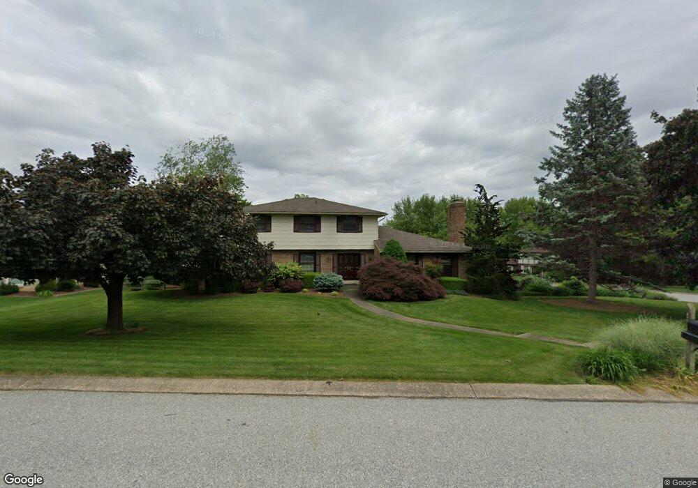
This home is located at 2325 Sutton Rd, York, PA 17403 and is currently estimated at $485,824, approximately $177 per square foot. 2325 Sutton Rd is a home located in York County with nearby schools including Leaders Heights Elementary School, Dallastown Area Middle School, and Dallastown Area High School.
Ownership History
Date
Name
Owned For
Owner Type
Purchase Details
Closed on
Aug 31, 1999
Sold by
Murray Richard J and Murray Gayle Andrews
Bought by
Attig Michael R and Attig Susan L
Current Estimated Value
Home Financials for this Owner
Home Financials are based on the most recent Mortgage that was taken out on this home.
Original Mortgage
$119,900
Outstanding Balance
$34,673
Interest Rate
7.5%
Estimated Equity
$451,151
Purchase Details
Closed on
May 27, 1994
Bought by
Murray Richard J
Create a Home Valuation Report for This Property
The Home Valuation Report is an in-depth analysis detailing your home's value as well as a comparison with similar homes in the area
Home Values in the Area
Average Home Value in this Area
Purchase History
| Date | Buyer | Sale Price | Title Company |
|---|---|---|---|
| Attig Michael R | $179,900 | -- | |
| Murray Richard J | $197,000 | -- |
Source: Public Records
Mortgage History
| Date | Status | Borrower | Loan Amount |
|---|---|---|---|
| Open | Attig Michael R | $119,900 |
Source: Public Records
Tax History Compared to Growth
Tax History
| Year | Tax Paid | Tax Assessment Tax Assessment Total Assessment is a certain percentage of the fair market value that is determined by local assessors to be the total taxable value of land and additions on the property. | Land | Improvement |
|---|---|---|---|---|
| 2025 | $7,671 | $223,470 | $59,510 | $163,960 |
| 2024 | $7,559 | $223,470 | $59,510 | $163,960 |
| 2023 | $7,559 | $223,470 | $59,510 | $163,960 |
| 2022 | $7,312 | $223,470 | $59,510 | $163,960 |
| 2021 | $6,966 | $223,470 | $59,510 | $163,960 |
| 2020 | $6,966 | $223,470 | $59,510 | $163,960 |
| 2019 | $6,943 | $223,470 | $59,510 | $163,960 |
| 2018 | $6,896 | $223,470 | $59,510 | $163,960 |
| 2017 | $6,621 | $223,470 | $59,510 | $163,960 |
| 2016 | $0 | $223,470 | $59,510 | $163,960 |
| 2015 | -- | $223,470 | $59,510 | $163,960 |
| 2014 | -- | $223,470 | $59,510 | $163,960 |
Source: Public Records
Map
Nearby Homes
- 102 Maribel Ln
- 215 Wyntre Brooke Dr Unit 1
- 2064 Rosewood Ln Unit G2064
- 2505 Joppa Rd
- 2415 Emiray Ct
- 201 Ridgefield Dr
- 30 Fox Run Dr
- 1903 Woodland Rd
- 1762 Westwood Rd
- Lot #1 Rosewood Unit HAWTHORNE
- 1920 Rosewood Ln
- 1818 Roxboro Rd
- 114 Dew Drop Ct Unit 114
- 304 Edgehill Rd
- 119 Lexington Rd
- 1899 Powder Mill Rd Unit B
- 398 Edgehill Rd
- 1631 Detwiler Ct
- 109 Lyle Cir
- 146 Lexington Rd
- * Landon Unit BVE - Elevation B
- 2315 Sutton Rd
- 2210 Landon Ln
- 2335 Sutton Rd
- * Landon Ln Unit CCW - Elevation B
- 2215 Landon Ln
- 2305 Sutton Rd
- 2300 Sutton Rd
- 2235 Landon Ln
- 2220 Landon Ln
- 2330 Sutton Rd
- 2215 Marlborough Dr
- 2355 Sutton Rd
- 20 Marlborough Dr
- 2340 Sutton Rd
- 2375 Sutton Rd
- 2285 Sutton Rd
- 2225 Marlborough Dr
- 2288 Sutton Rd
- 140 Baldsmere Dr