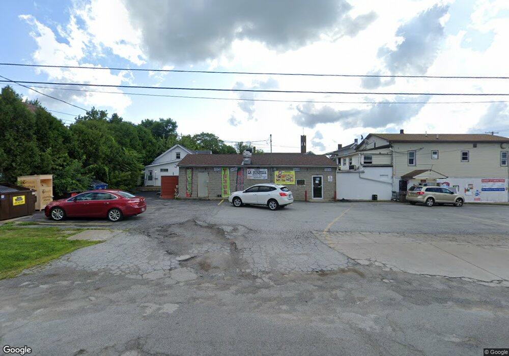
2326 Mahoning Ave Youngstown, OH 44509
Belle Vista NeighborhoodEstimated Value: $144,000
--
Bed
1
Bath
4,000
Sq Ft
$36/Sq Ft
Est. Value
About This Home
This home is located at 2326 Mahoning Ave, Youngstown, OH 44509 and is currently priced at $144,000, approximately $36 per square foot. 2326 Mahoning Ave is a home located in Mahoning County with nearby schools including Volney Rogers Elementary School, Chaney High School, and Summit Academy - Youngstown.
Ownership History
Date
Name
Owned For
Owner Type
Purchase Details
Closed on
May 23, 2005
Sold by
Bleggi Brian and Bleggi Kathleen
Bought by
Al Baadani Abdo A
Current Estimated Value
Home Financials for this Owner
Home Financials are based on the most recent Mortgage that was taken out on this home.
Original Mortgage
$64,000
Outstanding Balance
$33,862
Interest Rate
6.07%
Mortgage Type
Seller Take Back
Purchase Details
Closed on
Apr 8, 1999
Sold by
Korn Donald and Korn Nancy
Bought by
Bleggi Brian
Purchase Details
Closed on
Nov 1, 1991
Bought by
Loree Joseph W
Create a Home Valuation Report for This Property
The Home Valuation Report is an in-depth analysis detailing your home's value as well as a comparison with similar homes in the area
Home Values in the Area
Average Home Value in this Area
Purchase History
| Date | Buyer | Sale Price | Title Company |
|---|---|---|---|
| Al Baadani Abdo A | $129,000 | -- | |
| Bleggi Brian | $60,000 | -- | |
| Loree Joseph W | $75,000 | -- |
Source: Public Records
Mortgage History
| Date | Status | Borrower | Loan Amount |
|---|---|---|---|
| Open | Al Baadani Abdo A | $64,000 | |
| Closed | Bleggi Brian | $0 |
Source: Public Records
Tax History Compared to Growth
Tax History
| Year | Tax Paid | Tax Assessment Tax Assessment Total Assessment is a certain percentage of the fair market value that is determined by local assessors to be the total taxable value of land and additions on the property. | Land | Improvement |
|---|---|---|---|---|
| 2024 | $55 | $770 | $770 | -- |
| 2023 | $55 | $770 | $770 | $0 |
| 2022 | $50 | $620 | $620 | $0 |
| 2021 | $50 | $620 | $620 | $0 |
| 2020 | $50 | $620 | $620 | $0 |
| 2019 | $51 | $620 | $620 | $0 |
| 2018 | $52 | $620 | $620 | $0 |
| 2017 | $52 | $620 | $620 | $0 |
| 2016 | $75 | $920 | $920 | $0 |
| 2015 | $73 | $920 | $920 | $0 |
| 2014 | $72 | $920 | $920 | $0 |
| 2013 | $71 | $920 | $920 | $0 |
Source: Public Records
Map
Nearby Homes
- 28 N Hartford Ave
- 23 Manchester Ave
- 40 Manchester Ave
- 50 Manchester Ave
- 107 N Hartford Ave
- 61 S Hartford Ave
- 115 N Richview Ave
- 43 N Schenley Ave
- 134 Millet Ave
- 175 N Hartford Ave
- 77 Fernwood Ave
- 6 S Glenellen Ave
- 26 N Glenellen Ave
- 425 Manchester Ave
- 12 Bouquet Ave
- 2113 Manhattan Ave
- 154 S Schenley Ave
- 59 Rhoda Ave
- 166 S Schenley Ave
- 1947 Manhattan Ave
- 2320 Mahoning Ave
- 17 N Hartford Ave
- 2310 Mahoning Ave
- 21 N Hartford Ave
- 25 N Hartford Ave
- 18 N Brockway Ave
- 27 N Hartford Ave
- 2304 Mahoning Ave
- 2319 Mahoning Ave
- 16 N Hartford Ave
- 24 N Brockway Ave
- 20 N Hartford Ave
- 31 N Hartford Ave
- 30 N Brockway Ave
- 23 S Hartford Ave
- 33 N Hartford Ave
- 36 N Brockway Ave
- 32 N Hartford Ave
- 25 S Hartford Ave
- 40 N Brockway Ave