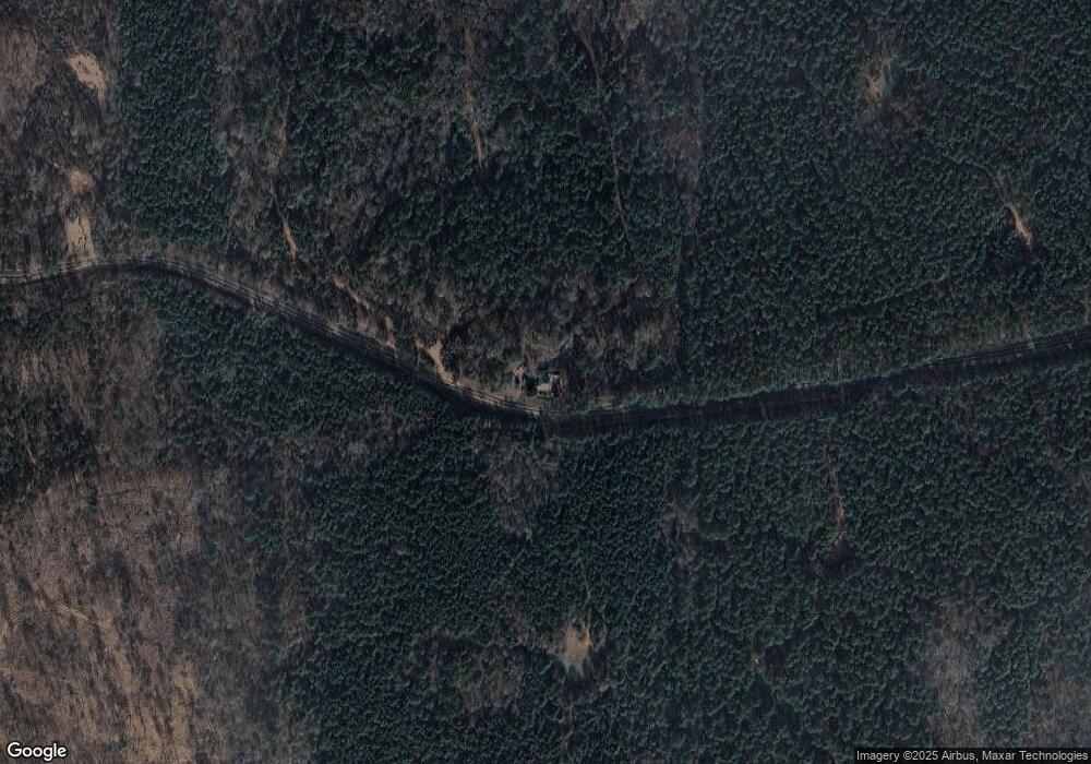
2326 Stokes Store Rd Forsyth, GA 31029
Estimated Value: $115,017 - $339,000
--
Bed
1
Bath
1,952
Sq Ft
$130/Sq Ft
Est. Value
About This Home
This home is located at 2326 Stokes Store Rd, Forsyth, GA 31029 and is currently estimated at $254,006, approximately $130 per square foot. 2326 Stokes Store Rd is a home located in Monroe County with nearby schools including Katherine B. Sutton Elementary School and Mary Persons High School.
Ownership History
Date
Name
Owned For
Owner Type
Purchase Details
Closed on
Mar 17, 2023
Sold by
Flanagan Sherroll C
Bought by
Bryant Kevin Wayne and Crews Bryant Wendy
Current Estimated Value
Purchase Details
Closed on
Oct 13, 2021
Sold by
Flanagan Ronnie W
Bought by
Flanagan Sherroll C
Purchase Details
Closed on
Oct 5, 2020
Sold by
Flanagan Martha S
Bought by
Flanagan Ronnie W
Purchase Details
Closed on
Jul 2, 2007
Sold by
Not Provided
Bought by
Flanagan Martha S
Purchase Details
Closed on
Jul 2, 1990
Sold by
Smith Pearl Irene Life Estate
Bought by
Jenkins Norene S and Flanaga Martha S
Create a Home Valuation Report for This Property
The Home Valuation Report is an in-depth analysis detailing your home's value as well as a comparison with similar homes in the area
Home Values in the Area
Average Home Value in this Area
Purchase History
| Date | Buyer | Sale Price | Title Company |
|---|---|---|---|
| Bryant Kevin Wayne | $435,000 | -- | |
| Flanagan Sherroll C | -- | -- | |
| Flanagan Ronnie W | -- | -- | |
| Flanagan Martha S | -- | -- | |
| Jenkins Norene S | -- | -- |
Source: Public Records
Tax History Compared to Growth
Tax History
| Year | Tax Paid | Tax Assessment Tax Assessment Total Assessment is a certain percentage of the fair market value that is determined by local assessors to be the total taxable value of land and additions on the property. | Land | Improvement |
|---|---|---|---|---|
| 2024 | $416 | $27,400 | $11,640 | $15,760 |
| 2023 | $2,860 | $131,360 | $118,240 | $13,120 |
| 2022 | $581 | $131,360 | $118,240 | $13,120 |
| 2021 | $924 | $131,360 | $118,240 | $13,120 |
| 2020 | $935 | $131,360 | $118,240 | $13,120 |
| 2019 | $929 | $131,360 | $118,240 | $13,120 |
| 2018 | $919 | $131,360 | $118,240 | $13,120 |
| 2017 | $3,819 | $131,400 | $118,280 | $13,120 |
| 2016 | $798 | $131,400 | $118,280 | $13,120 |
| 2015 | $745 | $131,400 | $118,280 | $13,120 |
| 2014 | $707 | $131,400 | $118,280 | $13,120 |
Source: Public Records
Map
Nearby Homes
- 717 Giles Rd
- 709 Giles Rd
- LOT 3 Giles Rd
- 671 Giles Rd
- 659 Giles Rd
- Magnolia Plan at Providence Ridge
- Oakwood Plan at Providence Ridge
- Jackson Plan at Providence Ridge
- Cypress Plan at Providence Ridge
- 1653 Stokes Store Rd Unit 51
- 1659 Stokes Store Rd
- 1649 Stokes Store Rd
- 1649 Stokes Store Rd Unit 52
- 56 Ivey Cir
- 2387 Lassiter Rd
- 2378 Lassiter Rd
- 27 Old Cork Rd
- 674 Stokes Store Rd
- 0000 Watson Rd
- 115 Old Stewart Rd
- 1197 Giles Rd
- 2763 Stokes Store Rd
- 2014 Stokes Store Rd
- 2088 Stokes Store Rd
- 597 Giles Rd Unit 14
- 1975 Stokes Store Rd
- 1940 Stokes Store Rd
- 485 Giles Rd
- 1B Stokes Store Rd
- 1A-2/1B Stokes Store Rd
- 959 Stokes Store Rd
- 1A & 1B Stokes Store Rd
- - Stokes Store Rd
- 533 Giles Rd
- 411 Giles Rd
- 1892 Stokes Store Rd
- 363 Giles Rd
- 1911 Stokes Store Rd
- 677 Giles Rd
- 681 Giles Rd
