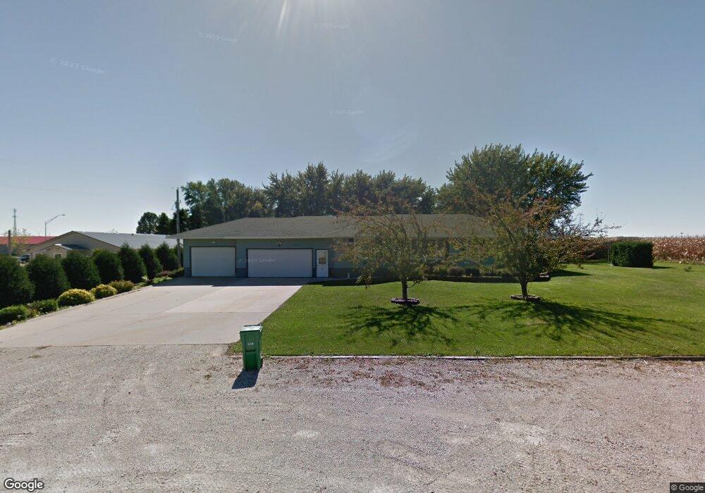
2327 Jamestown Ave Independence, IA 50644
Estimated Value: $388,000 - $494,693
3
Beds
2
Baths
1,628
Sq Ft
$262/Sq Ft
Est. Value
About This Home
This home is located at 2327 Jamestown Ave, Independence, IA 50644 and is currently estimated at $426,673, approximately $262 per square foot. 2327 Jamestown Ave is a home located in Buchanan County with nearby schools including West Elementary School, East Elementary School, and Independence Junior/Senior High School.
Ownership History
Date
Name
Owned For
Owner Type
Purchase Details
Closed on
Sep 11, 2013
Sold by
Evans Neil L and Evans Malinda A
Bought by
Grover Jared J
Current Estimated Value
Home Financials for this Owner
Home Financials are based on the most recent Mortgage that was taken out on this home.
Original Mortgage
$186,240
Outstanding Balance
$138,923
Interest Rate
4.39%
Mortgage Type
New Conventional
Estimated Equity
$287,750
Create a Home Valuation Report for This Property
The Home Valuation Report is an in-depth analysis detailing your home's value as well as a comparison with similar homes in the area
Home Values in the Area
Average Home Value in this Area
Purchase History
| Date | Buyer | Sale Price | Title Company |
|---|---|---|---|
| Grover Jared J | $192,000 | None Available |
Source: Public Records
Mortgage History
| Date | Status | Borrower | Loan Amount |
|---|---|---|---|
| Open | Grover Jared J | $186,240 |
Source: Public Records
Tax History Compared to Growth
Tax History
| Year | Tax Paid | Tax Assessment Tax Assessment Total Assessment is a certain percentage of the fair market value that is determined by local assessors to be the total taxable value of land and additions on the property. | Land | Improvement |
|---|---|---|---|---|
| 2025 | $8,478 | $482,290 | $43,000 | $439,290 |
| 2024 | $8,478 | $433,450 | $42,120 | $391,330 |
| 2023 | $6,684 | $354,270 | $42,120 | $312,150 |
| 2022 | $3,902 | $194,380 | $33,600 | $160,780 |
| 2021 | $3,924 | $194,380 | $33,600 | $160,780 |
| 2020 | $3,924 | $181,190 | $30,600 | $150,590 |
| 2019 | $3,900 | $181,190 | $30,600 | $150,590 |
| 2018 | $3,736 | $177,910 | $30,600 | $147,310 |
| 2017 | $3,844 | $177,910 | $30,600 | $147,310 |
| 2016 | $3,782 | $180,260 | $24,160 | $156,100 |
| 2015 | $3,782 | $180,260 | $24,160 | $156,100 |
| 2014 | $3,856 | $180,260 | $24,160 | $156,100 |
Source: Public Records
Map
Nearby Homes
- 2325 Jamestown Ave
- 1606 Kellie Ave SW
- 1020 6th Ave SW
- 810 3rd Ave SW
- 312 7th Ave NE
- 721 8th St SE
- 206 8th St SW
- 519 3rd St SE
- 406 6th Ave SW
- 513 4th St SW
- 523 Upper Terrace Dr
- 206 7th Ave SW
- 2086 3 Elms Park Rd
- 812 1st St E
- 707 2nd St NE
- 400 2nd St NW
- 111 Terrace Dr
- 611 3rd St NE
- 507 2nd Ave NE
- 508 6th Ave NE
- 2329 Jamestown Ave
- 2331 Jamestown Ave
- 2323 Jamestown Ave
- 2321 Jamestown Ave
- 2086 Three Elms Park Rd
- 2086 Three Elms Park Rd
- 2319 Jamestown Ave
- 1948 Lovers Lane Blvd
- 1984 Three Elms Park Rd
- 2004 Enterprise Ct
- 2006 Enterprise Ct
- 2008 Enterprise Ct
- 2010 Enterprise Ct
- 2012 Enterprise Ct
- 2016 Enterprise Ct
- 2002 Enterprise Ct
- 1952 Lovers Lane Blvd
- 1954 Lovers Lane Blvd
- 501-507 Enterprise Dr
- 1942 Lovers Lane Blvd