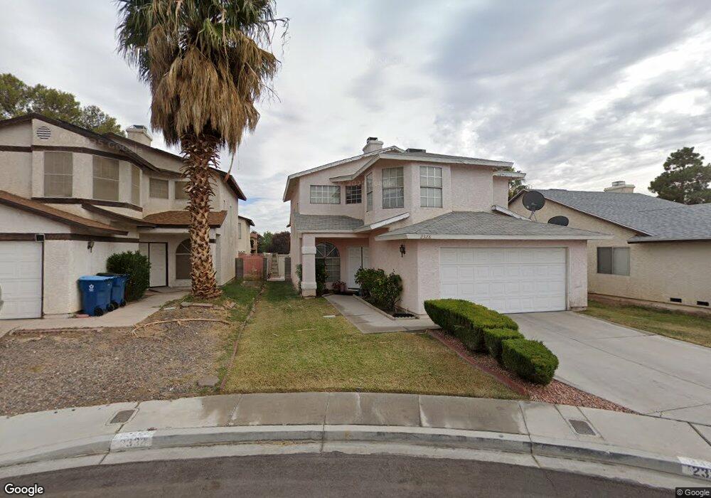
2328 Bristol Bay Ct Las Vegas, NV 89108
Michael Way NeighborhoodEstimated Value: $346,000 - $403,000
4
Beds
3
Baths
1,621
Sq Ft
$226/Sq Ft
Est. Value
About This Home
This home is located at 2328 Bristol Bay Ct, Las Vegas, NV 89108 and is currently estimated at $366,580, approximately $226 per square foot. 2328 Bristol Bay Ct is a home located in Clark County with nearby schools including Doris M. Reed Elementary School, J. Harold Brinley Middle School, and Western High School.
Ownership History
Date
Name
Owned For
Owner Type
Purchase Details
Closed on
Sep 6, 2005
Sold by
Farmer Earlean
Bought by
Anderson Ronald and Farmer Earlean
Current Estimated Value
Home Financials for this Owner
Home Financials are based on the most recent Mortgage that was taken out on this home.
Original Mortgage
$15,000
Interest Rate
5.81%
Mortgage Type
Credit Line Revolving
Create a Home Valuation Report for This Property
The Home Valuation Report is an in-depth analysis detailing your home's value as well as a comparison with similar homes in the area
Home Values in the Area
Average Home Value in this Area
Purchase History
| Date | Buyer | Sale Price | Title Company |
|---|---|---|---|
| Anderson Ronald | -- | Fidelity National Title | |
| Farmer Earlean | -- | Fidelity National Title |
Source: Public Records
Mortgage History
| Date | Status | Borrower | Loan Amount |
|---|---|---|---|
| Closed | Anderson Ronald | $15,000 |
Source: Public Records
Tax History Compared to Growth
Tax History
| Year | Tax Paid | Tax Assessment Tax Assessment Total Assessment is a certain percentage of the fair market value that is determined by local assessors to be the total taxable value of land and additions on the property. | Land | Improvement |
|---|---|---|---|---|
| 2025 | $1,318 | $62,243 | $24,273 | $37,970 |
| 2024 | $1,221 | $62,243 | $24,273 | $37,970 |
| 2023 | $1,221 | $61,041 | $24,273 | $36,768 |
| 2022 | $1,130 | $53,145 | $19,285 | $33,860 |
| 2021 | $1,047 | $49,818 | $17,290 | $32,528 |
| 2020 | $969 | $48,511 | $15,960 | $32,551 |
| 2019 | $908 | $45,957 | $13,633 | $32,324 |
| 2018 | $867 | $42,111 | $10,973 | $31,138 |
| 2017 | $1,334 | $40,692 | $8,978 | $31,714 |
| 2016 | $813 | $39,943 | $7,648 | $32,295 |
| 2015 | $810 | $26,197 | $5,320 | $20,877 |
| 2014 | $786 | $25,246 | $3,325 | $21,921 |
Source: Public Records
Map
Nearby Homes
- 2329 Heather Meadows Ct
- 4433 Bristol Manor Dr
- 4416 Bristol Manor Dr
- 4609 Eugene Ave
- 2129 Havelina St
- 2117 Ullom Dr
- 2332 Valley Dr
- 4945 Stacey Ave
- 4408 W Lake Mead Blvd Unit 201
- 4609 W Lake Mead Blvd
- 5028 Sawyer Ave
- 1936 Saint Lawrence Dr
- 4224 Beth Ave
- 2141 Hussium Hills St Unit 108
- 1920 Parkchester Dr
- 2101 Hussium Hills St Unit 207
- 5066 El Castano Ave
- 2051 Hussium Hills St Unit 101
- 2334 N Michael Way
- 1859 N Decatur Blvd
- 2324 Bristol Bay Ct
- 2332 Bristol Bay Ct
- 2320 Bristol Bay Ct
- 2329 Bristol View Ct
- 2336 Bristol Bay Ct
- 2333 Bristol View Ct
- 2325 Bristol View Ct
- 2316 Bristol Bay Ct
- 2321 Bristol View Ct
- 2337 Bristol View Ct
- 2312 Bristol Bay Ct
- 2329 Bristol Bay Ct
- 2325 Bristol Bay Ct
- 2333 Bristol Bay Ct
- 2337 Bristol Bay Ct
- 2321 Bristol Bay Ct
- 2313 Bristol View Ct
- 2317 Bristol Bay Ct
- 2308 Bristol Bay Ct