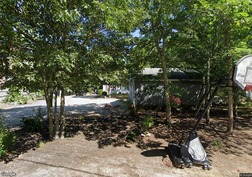
233 Commons Way Brewster, MA 02631
Estimated Value: $696,511 - $774,000
4
Beds
2
Baths
1,778
Sq Ft
$410/Sq Ft
Est. Value
About This Home
This home is located at 233 Commons Way, Brewster, MA 02631 and is currently estimated at $728,628, approximately $409 per square foot. 233 Commons Way is a home located in Barnstable County with nearby schools including Eddy Elementary School, Nauset Regional Middle School, and Nauset Regional High School.
Ownership History
Date
Name
Owned For
Owner Type
Purchase Details
Closed on
Nov 21, 2005
Sold by
Vonhentschel Demetrius
Bought by
Miranda Joziane and Miranda Sebastiao
Current Estimated Value
Home Financials for this Owner
Home Financials are based on the most recent Mortgage that was taken out on this home.
Original Mortgage
$346,500
Outstanding Balance
$190,201
Interest Rate
6.07%
Mortgage Type
Purchase Money Mortgage
Estimated Equity
$538,427
Create a Home Valuation Report for This Property
The Home Valuation Report is an in-depth analysis detailing your home's value as well as a comparison with similar homes in the area
Home Values in the Area
Average Home Value in this Area
Purchase History
| Date | Buyer | Sale Price | Title Company |
|---|---|---|---|
| Miranda Joziane | $385,000 | -- |
Source: Public Records
Mortgage History
| Date | Status | Borrower | Loan Amount |
|---|---|---|---|
| Open | Miranda Joziane | $346,500 |
Source: Public Records
Tax History Compared to Growth
Tax History
| Year | Tax Paid | Tax Assessment Tax Assessment Total Assessment is a certain percentage of the fair market value that is determined by local assessors to be the total taxable value of land and additions on the property. | Land | Improvement |
|---|---|---|---|---|
| 2025 | $3,878 | $563,600 | $183,000 | $380,600 |
| 2024 | $3,661 | $537,600 | $172,600 | $365,000 |
| 2023 | $3,366 | $481,500 | $154,100 | $327,400 |
| 2022 | $3,451 | $439,600 | $160,500 | $279,100 |
| 2021 | $3,330 | $388,100 | $139,500 | $248,600 |
| 2020 | $3,277 | $380,200 | $139,500 | $240,700 |
| 2019 | $3,147 | $366,800 | $134,200 | $232,600 |
| 2018 | $2,986 | $361,500 | $134,200 | $227,300 |
| 2017 | $2,872 | $342,300 | $134,200 | $208,100 |
| 2016 | $2,852 | $338,300 | $131,600 | $206,700 |
| 2015 | $2,733 | $330,900 | $129,000 | $201,900 |
Source: Public Records
Map
Nearby Homes
- 274 Commons Way
- 737 Thousand Oaks Dr
- 16 Commons Way
- 0 Commons Way Unit 22504099
- 765 Millstone Rd
- 96 Eaton Ln Unit 96
- 78 Eaton Ln Unit 78
- 78 Eaton Ln
- 52 Eaton Ln Unit (52)
- 82 Fletcher Ln Unit I
- 100 Fletcher Ln Unit E
- 60 Fletcher Ln Unit H
- 60 Fletcher Ln Unit C
- 958 Long Pond Rd
- 63 Trevor Ln Unit 63
- 43 Billington Ln
- 43 Billington Ln Unit 43
- 277 Lund Farm Way
- 82 Middlecott Ln
- 26 Pinewood Dr
- 223 Commons Way
- 211 Commons Way
- 251 Commons Way
- 484 Thousand Oaks Dr
- 236 Commons Way
- 226 Commons Way
- 505 1000 Oaks Dr
- 246 Commons Way
- 216 Commons Way
- 199 Commons Way
- 261 Commons Way
- 254 Commons Way
- 208 Commons Way
- 466 Thousand Oaks Dr
- 191 Commons Way
- 266 Commons Way
- 234 Quasons Path
- 275 Quasons Path
- 275 Quason's Path
- 179 Commons Way