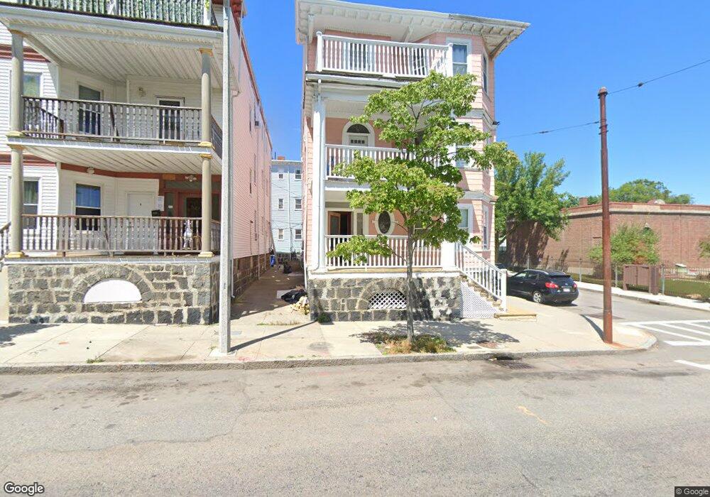
233 Humboldt Ave Dorchester, MA 02121
Washington Park NeighborhoodEstimated Value: $1,088,000 - $1,295,000
10
Beds
3
Baths
4,914
Sq Ft
$238/Sq Ft
Est. Value
About This Home
This home is located at 233 Humboldt Ave, Dorchester, MA 02121 and is currently estimated at $1,167,667, approximately $237 per square foot. 233 Humboldt Ave is a home located in Suffolk County with nearby schools including Bridge Boston Charter School, Neighborhood School, and Mother Caroline Academy & Education Center.
Ownership History
Date
Name
Owned For
Owner Type
Purchase Details
Closed on
Mar 14, 2002
Sold by
Jackson Terrence L
Bought by
Paul Jean and Aceus Sainte T
Current Estimated Value
Home Financials for this Owner
Home Financials are based on the most recent Mortgage that was taken out on this home.
Original Mortgage
$355,550
Interest Rate
7.04%
Mortgage Type
Purchase Money Mortgage
Create a Home Valuation Report for This Property
The Home Valuation Report is an in-depth analysis detailing your home's value as well as a comparison with similar homes in the area
Home Values in the Area
Average Home Value in this Area
Purchase History
| Date | Buyer | Sale Price | Title Company |
|---|---|---|---|
| Paul Jean | $317,000 | -- |
Source: Public Records
Mortgage History
| Date | Status | Borrower | Loan Amount |
|---|---|---|---|
| Open | Paul Jean | $425,000 | |
| Closed | Paul Jean | $355,550 |
Source: Public Records
Tax History Compared to Growth
Tax History
| Year | Tax Paid | Tax Assessment Tax Assessment Total Assessment is a certain percentage of the fair market value that is determined by local assessors to be the total taxable value of land and additions on the property. | Land | Improvement |
|---|---|---|---|---|
| 2025 | $9,670 | $835,100 | $239,500 | $595,600 |
| 2024 | $8,153 | $748,000 | $173,600 | $574,400 |
| 2023 | $7,170 | $667,600 | $154,900 | $512,700 |
| 2022 | $6,787 | $623,800 | $144,800 | $479,000 |
| 2021 | $6,400 | $599,800 | $139,200 | $460,600 |
| 2020 | $5,708 | $540,500 | $141,700 | $398,800 |
| 2019 | $5,086 | $482,500 | $104,600 | $377,900 |
| 2018 | $4,813 | $459,300 | $104,600 | $354,700 |
| 2017 | $4,864 | $459,300 | $104,600 | $354,700 |
| 2016 | $4,393 | $399,400 | $104,600 | $294,800 |
| 2015 | $4,153 | $342,900 | $73,900 | $269,000 |
| 2014 | $3,852 | $306,200 | $73,900 | $232,300 |
Source: Public Records
Map
Nearby Homes
- 214 Humboldt Ave
- 78 Hutchings St Unit 1
- 75 Ruthven St
- 136-138 Homestead St
- 164 Ruthven St Unit 1
- 9 Abbotsford St Unit 1
- 4 Ruthven St
- 28 Wabon St
- 7 Waumbeck St Unit 3
- 41 W Walnut Park
- 99 Harrishof St
- 4 Wyoming St Unit 2
- 32 Hartwell St
- 495 Warren St
- 151 Townsend St
- 27 Dixwell St Unit 11
- 27 Dixwell St Unit 12
- 27 Dixwell St Unit 4
- 1-3 Glines Ave
- 20 Chilcott Place
- 233 Humboldt Ave Unit 2
- 233 Humboldt Ave Unit 3
- 235 Humboldt Ave
- 32 Homestead St
- 83 Homestead St
- 241 Humboldt Ave Unit 1
- 224 Humboldt Ave
- 222 Humboldt Ave
- 220 Humboldt Ave
- 245 Humboldt Ave
- 100 Homestead St
- 103 Homestead St
- 103 Homestead St Unit 2
- 103 Homestead St Unit 105
- 103 Homestead St Unit 1
- 103 Homestead St Unit 3
- 75 Homestead St
- 75 Homestead St Unit 4
- 75 Homestead St Unit 3
- 75 Homestead St Unit 6