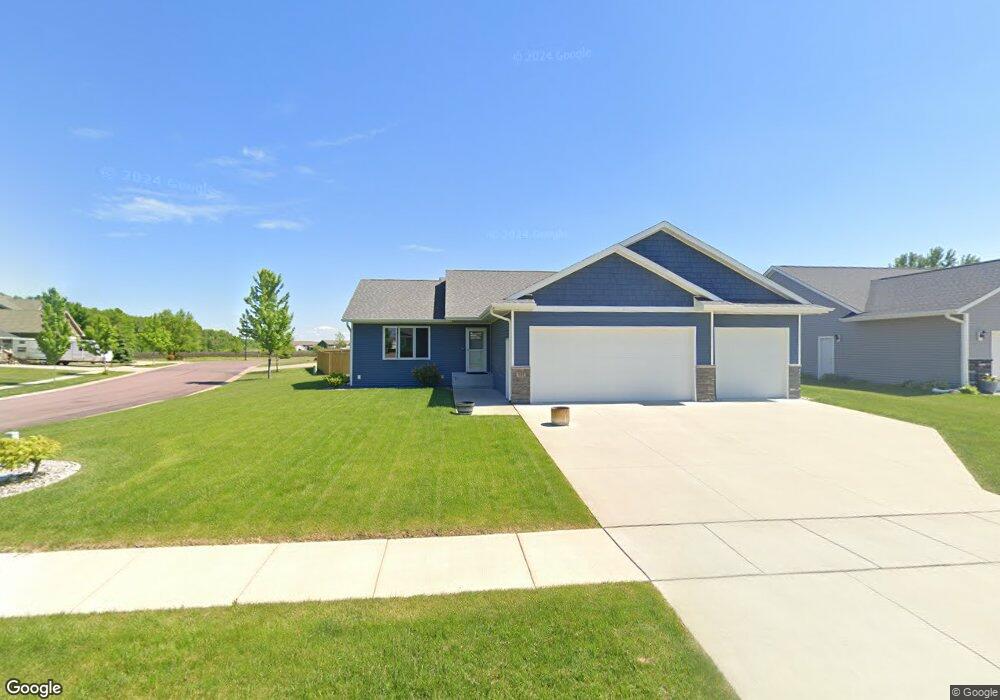
233 Muriefield Dr Mankato, MN 56001
Eastwood Park NeighborhoodEstimated Value: $389,680 - $469,000
2
Beds
2
Baths
1,400
Sq Ft
$306/Sq Ft
Est. Value
About This Home
This home is located at 233 Muriefield Dr, Mankato, MN 56001 and is currently estimated at $428,170, approximately $305 per square foot. 233 Muriefield Dr is a home with nearby schools including Washington Elementary School, Prairie Winds Middle School, and Mankato East Senior High School.
Ownership History
Date
Name
Owned For
Owner Type
Purchase Details
Closed on
Nov 13, 2017
Sold by
Northern Energy Homes Inc
Bought by
Hinkley Macrus
Current Estimated Value
Home Financials for this Owner
Home Financials are based on the most recent Mortgage that was taken out on this home.
Original Mortgage
$294,500
Outstanding Balance
$247,167
Interest Rate
3.91%
Mortgage Type
New Conventional
Estimated Equity
$181,003
Purchase Details
Closed on
Jun 9, 2017
Sold by
Drummer Development Inc
Bought by
Northern Energy Homes Inc
Create a Home Valuation Report for This Property
The Home Valuation Report is an in-depth analysis detailing your home's value as well as a comparison with similar homes in the area
Home Values in the Area
Average Home Value in this Area
Purchase History
| Date | Buyer | Sale Price | Title Company |
|---|---|---|---|
| Hinkley Macrus | $310,000 | -- | |
| Northern Energy Homes Inc | $54,900 | North American Title |
Source: Public Records
Mortgage History
| Date | Status | Borrower | Loan Amount |
|---|---|---|---|
| Open | Hinkley Macrus | $294,500 |
Source: Public Records
Tax History
| Year | Tax Paid | Tax Assessment Tax Assessment Total Assessment is a certain percentage of the fair market value that is determined by local assessors to be the total taxable value of land and additions on the property. | Land | Improvement |
|---|---|---|---|---|
| 2025 | $4,022 | $381,400 | $44,300 | $337,100 |
| 2024 | $4,022 | $365,900 | $44,500 | $321,400 |
| 2023 | $4,028 | $357,400 | $44,500 | $312,900 |
| 2022 | $3,576 | $348,500 | $44,500 | $304,000 |
| 2021 | $3,500 | $290,800 | $44,500 | $246,300 |
| 2020 | $3,356 | $272,800 | $44,500 | $228,300 |
| 2019 | $3,010 | $272,800 | $44,500 | $228,300 |
| 2018 | $282 | $247,000 | $37,100 | $209,900 |
| 2017 | $404 | $33,300 | $33,300 | $0 |
| 2016 | $402 | $33,300 | $33,300 | $0 |
| 2015 | $0 | $33,300 | $33,300 | $0 |
| 2014 | -- | $9,900 | $9,900 | $0 |
Source: Public Records
Map
Nearby Homes
- 229 Muriefield Dr
- 828 Fieldcrest Dr
- 225 Muriefield Dr
- 225 225 Muriefield Dr
- 839 Fieldcrest Dr
- 824 Fieldcrest Dr
- 220 Muriefield Dr
- 835 Fieldcrest Dr
- 216 Muriefield Dr
- 820 Fieldcrest Dr
- 224 Muriefield Dr
- 300 300 Muriefield Dr
- 300 Muriefield Dr
- 831 Fieldcrest Dr
- 212 Muriefield Dr
- 217 Muriefield Dr
- 816 Fieldcrest Dr
- 208 Muriefield Dr
- 213 Muriefield Dr
- 259 Foxfire Dr
Your Personal Tour Guide
Ask me questions while you tour the home.