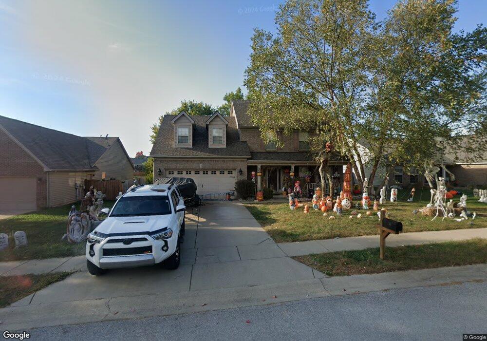
233 Ransom Trace Georgetown, KY 40324
Bradford Place NeighborhoodEstimated Value: $349,000 - $375,000
4
Beds
3
Baths
2,256
Sq Ft
$161/Sq Ft
Est. Value
About This Home
This home is located at 233 Ransom Trace, Georgetown, KY 40324 and is currently estimated at $363,942, approximately $161 per square foot. 233 Ransom Trace is a home located in Scott County with nearby schools including Southern Elementary School, Georgetown Middle School, and Scott County High School.
Ownership History
Date
Name
Owned For
Owner Type
Purchase Details
Closed on
Apr 28, 2006
Sold by
Ball Homes Llc
Bought by
Sturgill Darrell and Sturgill Angie
Current Estimated Value
Home Financials for this Owner
Home Financials are based on the most recent Mortgage that was taken out on this home.
Original Mortgage
$144,900
Outstanding Balance
$81,493
Interest Rate
6.28%
Mortgage Type
New Conventional
Estimated Equity
$282,449
Create a Home Valuation Report for This Property
The Home Valuation Report is an in-depth analysis detailing your home's value as well as a comparison with similar homes in the area
Home Values in the Area
Average Home Value in this Area
Purchase History
| Date | Buyer | Sale Price | Title Company |
|---|---|---|---|
| Sturgill Darrell | $181,168 | None Available |
Source: Public Records
Mortgage History
| Date | Status | Borrower | Loan Amount |
|---|---|---|---|
| Open | Sturgill Darrell | $144,900 |
Source: Public Records
Tax History
| Year | Tax Paid | Tax Assessment Tax Assessment Total Assessment is a certain percentage of the fair market value that is determined by local assessors to be the total taxable value of land and additions on the property. | Land | Improvement |
|---|---|---|---|---|
| 2025 | $2,817 | $316,300 | $0 | $0 |
| 2024 | $2,630 | $292,400 | $0 | $0 |
| 2023 | $2,517 | $277,600 | $42,000 | $235,600 |
| 2022 | $1,917 | $225,500 | $35,000 | $190,500 |
| 2021 | $1,975 | $209,700 | $35,000 | $174,700 |
| 2020 | $1,724 | $200,700 | $35,000 | $165,700 |
| 2019 | $1,688 | $193,400 | $0 | $0 |
| 2018 | $1,620 | $186,640 | $0 | $0 |
| 2017 | $1,628 | $186,640 | $0 | $0 |
| 2016 | $1,503 | $186,640 | $0 | $0 |
| 2015 | $1,447 | $180,900 | $0 | $0 |
| 2014 | $1,463 | $176,400 | $0 | $0 |
| 2011 | $112 | $181,168 | $0 | $0 |
Source: Public Records
Map
Nearby Homes
- 113 Walden Cove Unit 3I
- 512 Pocahontas Trail
- 115 Victor Place
- 206 Hiawatha Trail
- 104 Bronte Place
- 1117 Pawnee Trail
- 232 W Showalter Dr
- 106 Ransom Trace
- 107 Oconner Ct
- 251 W Showalter Dr
- 106 Somerset Cove
- 264 W Showalter Dr
- 1026 Parkside Dr
- 164 Stapleton Way
- 111 Hillside Dr
- 108 Pinwheel Ct
- 131 Spring Bluff Dr
- 140 Magellan Ln
- 144 Magellan Ln
- 109 Crescent Way
- 231 Ransom Trace
- 229 Ransom Trace Unit 3E
- 237 Ransom Trace
- 249 Ransom Trace
- 234 Ransom Trace
- 232 Ransom Trace
- 236 Ransom Trace
- 251 Ransom Trace
- 227 Ransom Trace
- 230 Ransom Trace
- 238 Ransom Trace
- 231 Jared Parker Way
- 253 Ransom Trace Unit 3H
- 240 Ransom Trace
- 155 Irving Ln Unit 3D
- 153 Irving Ln Unit 3D
- 225 Ransom Trace
- 157 Irving Ln
- 246 Ransom Trace
- 248 Ransom Trace
Your Personal Tour Guide
Ask me questions while you tour the home.