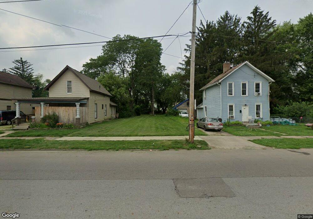
233 S 5th St Newark, OH 43055
Estimated Value: $91,000 - $250,000
2
Beds
1
Bath
1,100
Sq Ft
$130/Sq Ft
Est. Value
About This Home
This home is located at 233 S 5th St, Newark, OH 43055 and is currently estimated at $142,621, approximately $129 per square foot. 233 S 5th St is a home located in Licking County with nearby schools including Ben Franklin Elementary School, Heritage Middle School, and Newark High School.
Ownership History
Date
Name
Owned For
Owner Type
Purchase Details
Closed on
Oct 21, 2021
Sold by
Licking Ocunty Land Reutilization Corp
Bought by
Polage Dustin E
Current Estimated Value
Purchase Details
Closed on
Mar 29, 2019
Sold by
Bryan Jeffrey and Bryan Patrick Victoria
Bought by
Licking County Land Reutilization Corp
Purchase Details
Closed on
Mar 27, 2019
Sold by
Stargell Louis James
Bought by
Licking County Land Reutilization Corp
Purchase Details
Closed on
Jul 30, 2007
Sold by
Bryan Dorothy J
Bought by
Bryan Jeffrey and Patrick Victoria
Create a Home Valuation Report for This Property
The Home Valuation Report is an in-depth analysis detailing your home's value as well as a comparison with similar homes in the area
Home Values in the Area
Average Home Value in this Area
Purchase History
| Date | Buyer | Sale Price | Title Company |
|---|---|---|---|
| Polage Dustin E | -- | None Available | |
| Licking County Land Reutilization Corp | -- | None Available | |
| Licking County Land Reutilization Corp | -- | None Available | |
| Bryan Jeffrey | -- | Attorney |
Source: Public Records
Tax History Compared to Growth
Tax History
| Year | Tax Paid | Tax Assessment Tax Assessment Total Assessment is a certain percentage of the fair market value that is determined by local assessors to be the total taxable value of land and additions on the property. | Land | Improvement |
|---|---|---|---|---|
| 2024 | $132 | $3,540 | $3,540 | $0 |
| 2023 | $138 | $3,540 | $3,540 | $0 |
| 2022 | $66 | $1,470 | $1,470 | $0 |
| 2021 | $6 | $1,470 | $1,470 | $0 |
| 2020 | $6 | $1,470 | $1,470 | $0 |
| 2019 | $6 | $6,620 | $1,470 | $5,150 |
| 2018 | $159 | $0 | $0 | $0 |
| 2017 | $247 | $0 | $0 | $0 |
| 2016 | $334 | $0 | $0 | $0 |
| 2015 | $342 | $0 | $0 | $0 |
| 2014 | $956 | $0 | $0 | $0 |
| 2013 | $329 | $0 | $0 | $0 |
Source: Public Records
Map
Nearby Homes
- 507 Beacon Rd
- 210-212 Isabelle Rd
- 206-208 Isabelle Rd
- 45 S 5th St
- 470 Beacon Rd
- 315 Wehrle Ave
- 158 Isabelle Rd
- 150/152 Isabelle Rd
- 105 Fleek Ave
- 33 S 6th St
- 116 S 1st St
- 112 S 1st St
- 233 Wilson St
- 1444 Blue Jay Rd
- 276 Ohio St
- 252 Fleek Ave
- 332 W Main St
- 336 W Main St Unit 334
- 105 Miller St
- 1335 Grandview Ave
- 237 S 5th St
- 229 S 5th St
- 136 W National Dr
- 215 S 5th St
- 211 S 5th St
- 136 Wilwood Ave
- 138 Wilwood Ave
- 134 Wilwood Ave
- 130 Wilwood Ave
- 140 Wilwood Ave
- 209 S 5th St
- 142 Wilwood Ave
- 126 Wilwood Ave
- 146 W National Dr
- 106 W National Dr
- 121 W National Dr
- 115 W National Dr
- 205 S 5th St
- 137 W National Dr
- 109 W National Dr