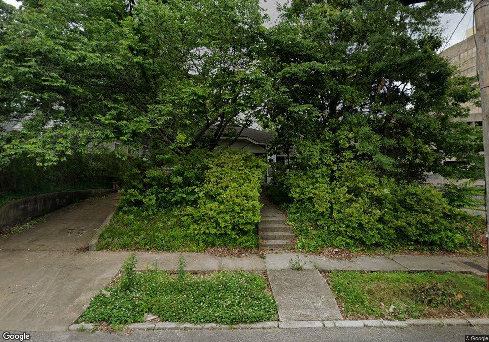
233 S Watkins St Memphis, TN 38104
Central Gardens NeighborhoodEstimated Value: $254,536 - $337,000
2
Beds
2
Baths
2,039
Sq Ft
$144/Sq Ft
Est. Value
About This Home
This home is located at 233 S Watkins St, Memphis, TN 38104 and is currently estimated at $293,634, approximately $144 per square foot. 233 S Watkins St is a home located in Shelby County with nearby schools including Bruce Elementary School, Bellevue Middle School, and Central High School.
Ownership History
Date
Name
Owned For
Owner Type
Purchase Details
Closed on
Dec 19, 2018
Sold by
Mckenzie Ann
Bought by
Amminger Peter
Current Estimated Value
Purchase Details
Closed on
Jun 30, 1997
Sold by
Page S Theodore and Page Marion A
Bought by
Amminger Peter and Mckenzie Ann
Home Financials for this Owner
Home Financials are based on the most recent Mortgage that was taken out on this home.
Original Mortgage
$103,000
Interest Rate
8.8%
Mortgage Type
Balloon
Create a Home Valuation Report for This Property
The Home Valuation Report is an in-depth analysis detailing your home's value as well as a comparison with similar homes in the area
Home Values in the Area
Average Home Value in this Area
Purchase History
| Date | Buyer | Sale Price | Title Company |
|---|---|---|---|
| Amminger Peter | -- | None Listed On Document | |
| Amminger Peter | $95,000 | -- |
Source: Public Records
Mortgage History
| Date | Status | Borrower | Loan Amount |
|---|---|---|---|
| Previous Owner | Amminger Peter | $103,000 |
Source: Public Records
Tax History Compared to Growth
Tax History
| Year | Tax Paid | Tax Assessment Tax Assessment Total Assessment is a certain percentage of the fair market value that is determined by local assessors to be the total taxable value of land and additions on the property. | Land | Improvement |
|---|---|---|---|---|
| 2025 | $1,540 | $65,775 | $13,875 | $51,900 |
| 2024 | $2,160 | $63,725 | $9,500 | $54,225 |
| 2023 | $3,882 | $63,725 | $9,500 | $54,225 |
| 2022 | $3,882 | $63,725 | $9,500 | $54,225 |
| 2021 | $3,927 | $63,725 | $9,500 | $54,225 |
| 2020 | $2,989 | $41,250 | $9,500 | $31,750 |
| 2019 | $2,989 | $41,250 | $9,500 | $31,750 |
| 2018 | $2,989 | $41,250 | $9,500 | $31,750 |
| 2017 | $2,070 | $50,375 | $9,500 | $40,875 |
| 2016 | $1,589 | $36,350 | $0 | $0 |
| 2014 | $1,589 | $36,350 | $0 | $0 |
Source: Public Records
Map
Nearby Homes
- 1486 Eastmoreland Ave
- 1500 Eastmoreland Ave
- 1464 Peabody Ave
- 1559 Eastmoreland Ave
- 1336 Peabody Ave
- 1535 Monroe Ave
- 1570 Linden Ave
- 1431 Carr Ave
- 1570 Eastmoreland Ave
- 1531 Peabody Ave
- 1515 Madison Ave
- 1584 Eastmoreland Ave Unit 3
- 1480 Vinton Ave
- 1597 Eastmoreland Ave
- 1429 Vinton Ave
- 1297 Peabody Ave
- 1391 Vinton Ave
- 1413 Court Ave
- 1619 Eastmoreland Ave
- 1361 Vinton Ave
- 239 S Watkins St
- 245 S Watkins St
- 261 S Watkins St
- 251 S Watkins St
- 1397 Eastmoreland Ave
- 236 S Watkins St Unit 106
- 236 S Watkins St Unit 1
- 236 S Watkins St
- 236 S Watkins St Unit 105
- 246 S Watkins St
- 242 Pine St
- 246 Pine St
- 255 S Watkins St
- 252 Pine St
- 256 Pine St
- 250 S Watkins St
- 256 S Watkins St
- 1433 Union Ave
- 1439 Eastmoreland Ave
- 262 Pine St