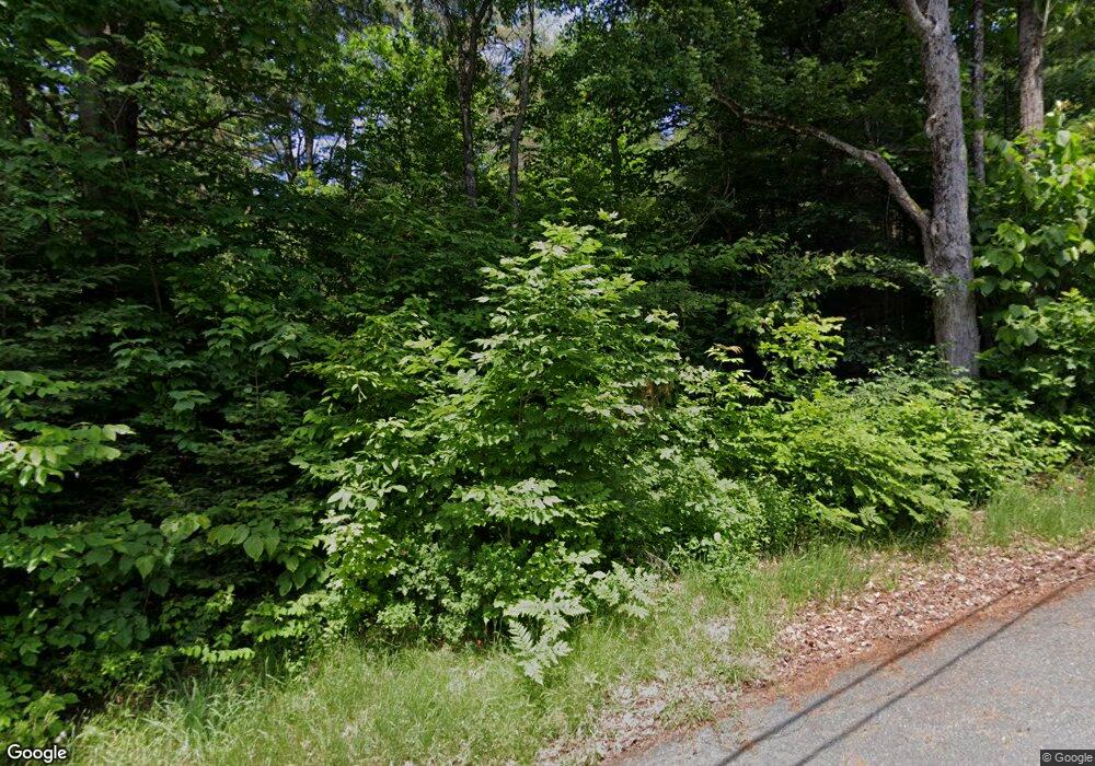
233 Sampson Rd Littleton, NH 03561
Estimated Value: $187,000 - $219,000
2
Beds
1
Bath
860
Sq Ft
$238/Sq Ft
Est. Value
About This Home
This home is located at 233 Sampson Rd, Littleton, NH 03561 and is currently estimated at $204,252, approximately $237 per square foot. 233 Sampson Rd is a home located in Grafton County with nearby schools including Mildred C. Lakeway School, North Country Charter Academy (M), and North Country Charter Academy.
Create a Home Valuation Report for This Property
The Home Valuation Report is an in-depth analysis detailing your home's value as well as a comparison with similar homes in the area
Home Values in the Area
Average Home Value in this Area
Tax History Compared to Growth
Tax History
| Year | Tax Paid | Tax Assessment Tax Assessment Total Assessment is a certain percentage of the fair market value that is determined by local assessors to be the total taxable value of land and additions on the property. | Land | Improvement |
|---|---|---|---|---|
| 2024 | $2,487 | $99,700 | $31,500 | $68,200 |
| 2023 | $2,247 | $99,700 | $31,500 | $68,200 |
| 2022 | $2,299 | $99,700 | $31,500 | $68,200 |
| 2021 | $2,299 | $99,700 | $31,500 | $68,200 |
| 2020 | $2,159 | $99,700 | $31,500 | $68,200 |
| 2019 | $2,095 | $90,700 | $28,700 | $62,000 |
| 2018 | $2,095 | $90,700 | $28,700 | $62,000 |
| 2017 | $1,820 | $70,500 | $26,500 | $44,000 |
| 2016 | $1,827 | $70,500 | $26,500 | $44,000 |
| 2015 | $2,745 | $117,700 | $69,400 | $48,300 |
| 2014 | $2,613 | $117,700 | $69,400 | $48,300 |
| 2013 | $2,644 | $117,700 | $69,400 | $48,300 |
Source: Public Records
Map
Nearby Homes
- 14 Hilltop Manor Mobile Home Park
- 11 Richmond St
- 191 Washington St
- 45 Point of View Dr
- 180 Beacon St
- 114 Highland Ave
- 93 Pleasant St
- 34 Union St
- 33 Pleasant St
- 36 MacIver Rd
- 134 Cottage St
- 251 Bethlehem Rd
- 165 Bethlehem Rd
- 194 Main St
- 92-29 Birchcroft Dr
- 00 Guider Ln
- 166 Riverside Dr
- 60-70 Meadow St
- 80 Guider Ln
- 456 Brickyard Rd
