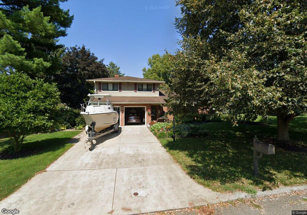
233 Scott Dr Lancaster, OH 43130
Estimated Value: $314,000 - $374,000
3
Beds
3
Baths
1,809
Sq Ft
$189/Sq Ft
Est. Value
About This Home
This home is located at 233 Scott Dr, Lancaster, OH 43130 and is currently estimated at $342,672, approximately $189 per square foot. 233 Scott Dr is a home located in Fairfield County with nearby schools including Tarhe Elementary School, General Sherman Junior High School, and Lancaster High School.
Ownership History
Date
Name
Owned For
Owner Type
Purchase Details
Closed on
Dec 20, 2010
Sold by
Benner Richard L and Benner Joann C
Bought by
Benner Richard L and Benner Joann C
Current Estimated Value
Purchase Details
Closed on
Jul 15, 2009
Sold by
Johnson Cheryl E and The Cheryl E Johnson Revocable
Bought by
Benner Richard L and Benner Joann C
Create a Home Valuation Report for This Property
The Home Valuation Report is an in-depth analysis detailing your home's value as well as a comparison with similar homes in the area
Home Values in the Area
Average Home Value in this Area
Purchase History
| Date | Buyer | Sale Price | Title Company |
|---|---|---|---|
| Benner Richard L | -- | Attorney | |
| Benner Richard L | -- | Attorney | |
| Johnson Cheryl E | -- | Attorney |
Source: Public Records
Tax History
| Year | Tax Paid | Tax Assessment Tax Assessment Total Assessment is a certain percentage of the fair market value that is determined by local assessors to be the total taxable value of land and additions on the property. | Land | Improvement |
|---|---|---|---|---|
| 2025 | $8,069 | $96,020 | $17,030 | $78,990 |
| 2024 | $8,069 | $89,760 | $13,240 | $76,520 |
| 2023 | $2,931 | $89,760 | $13,240 | $76,520 |
| 2022 | $2,958 | $89,760 | $13,240 | $76,520 |
| 2021 | $2,426 | $71,000 | $11,040 | $59,960 |
| 2020 | $2,325 | $71,000 | $11,040 | $59,960 |
| 2019 | $2,210 | $71,000 | $11,040 | $59,960 |
| 2018 | $1,975 | $61,320 | $11,040 | $50,280 |
| 2017 | $1,975 | $61,570 | $11,040 | $50,530 |
| 2016 | $1,924 | $61,570 | $11,040 | $50,530 |
| 2015 | $1,898 | $59,310 | $11,040 | $48,270 |
| 2014 | $1,807 | $59,310 | $11,040 | $48,270 |
| 2013 | $1,807 | $59,310 | $11,040 | $48,270 |
Source: Public Records
Map
Nearby Homes
- 1917 Nichole Cir
- 2014 N Columbus St
- 338 Scott Dr
- 1836 Glenmar Dr
- 1789 Wacker Dr
- 202 Wildwood Ave
- 0 Wacker Dr Unit 225036189
- 136 N Arlington Ave
- 1125 Zimmer St
- 1400 N Columbus St
- 1825 Zimmer St
- 0 Marks Ave Unit 225036443
- 1829 Beacon St
- 932 Goodwin Ave
- 1004 W Fair Ave
- 181 Marks Ave
- 844 Washington Ave
- 0 Hillside Ave
- 148 Marks Ave
- 1156 Forest Rose Ave
Your Personal Tour Guide
Ask me questions while you tour the home.