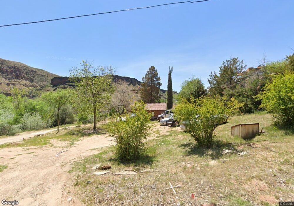
233 W 480 S La Verkin, UT 84745
Estimated Value: $527,000 - $706,915
4
Beds
3
Baths
3,359
Sq Ft
$184/Sq Ft
Est. Value
About This Home
This home is located at 233 W 480 S, La Verkin, UT 84745 and is currently estimated at $618,729, approximately $184 per square foot. 233 W 480 S is a home located in Washington County with nearby schools including La Verkin Elementary School, Hurricane Middle School, and Hurricane High School.
Ownership History
Date
Name
Owned For
Owner Type
Purchase Details
Closed on
Jun 9, 2020
Sold by
Marvin James B
Bought by
Smith Scott Royal and 233 W 480 S Trusts
Current Estimated Value
Purchase Details
Closed on
Dec 10, 2014
Sold by
Walter James P
Bought by
The Bank Of New York Mellon
Purchase Details
Closed on
Apr 14, 2006
Sold by
Grover Carrol Jackson
Bought by
Walter James P
Home Financials for this Owner
Home Financials are based on the most recent Mortgage that was taken out on this home.
Original Mortgage
$85,000
Interest Rate
5.91%
Mortgage Type
Second Mortgage Made To Cover Down Payment
Create a Home Valuation Report for This Property
The Home Valuation Report is an in-depth analysis detailing your home's value as well as a comparison with similar homes in the area
Home Values in the Area
Average Home Value in this Area
Purchase History
| Date | Buyer | Sale Price | Title Company |
|---|---|---|---|
| Smith Scott Royal | -- | None Available | |
| The Bank Of New York Mellon | $182,750 | Etitle Insurance Agency | |
| Walter James P | -- | Southern Utah Title Co |
Source: Public Records
Mortgage History
| Date | Status | Borrower | Loan Amount |
|---|---|---|---|
| Previous Owner | Walter James P | $85,000 |
Source: Public Records
Tax History Compared to Growth
Tax History
| Year | Tax Paid | Tax Assessment Tax Assessment Total Assessment is a certain percentage of the fair market value that is determined by local assessors to be the total taxable value of land and additions on the property. | Land | Improvement |
|---|---|---|---|---|
| 2025 | $2,723 | $347,050 | $108,350 | $238,700 |
| 2023 | $2,640 | $337,810 | $108,350 | $229,460 |
| 2022 | $2,712 | $330,000 | $73,645 | $256,355 |
| 2021 | $4,439 | $448,500 | $101,200 | $347,300 |
| 2020 | $4,064 | $384,000 | $101,200 | $282,800 |
| 2019 | $3,657 | $331,200 | $71,200 | $260,000 |
| 2018 | $4,134 | $335,200 | $0 | $0 |
| 2017 | $3,850 | $312,200 | $0 | $0 |
| 2016 | $3,743 | $291,300 | $0 | $0 |
| 2015 | $1,929 | $144,340 | $0 | $0 |
| 2014 | $1,741 | $128,445 | $0 | $0 |
Source: Public Records
Map
Nearby Homes
- 0 Hwy 9 - West Side
- 357 E 860 N
- 191 S 210 W
- 1023 N Falcon Ridge View
- 1043 N Falcon Ridge View E
- 260 W 210 S
- 281 E 1050 N
- 273 E 1050 N Unit 21
- 861 N 300 E
- 1178 Florence Cir
- 226 E 1100 N
- 57 W 180 S
- 140 S 100 W
- 590 N State St Unit 23
- 440 W 170 S
- 72 S 250 W
- 0 La Verkin Lot Unit 24-252790
- 306 E 500 N Unit 19
- 306 E 500 N Unit 8
- 65 S Main St