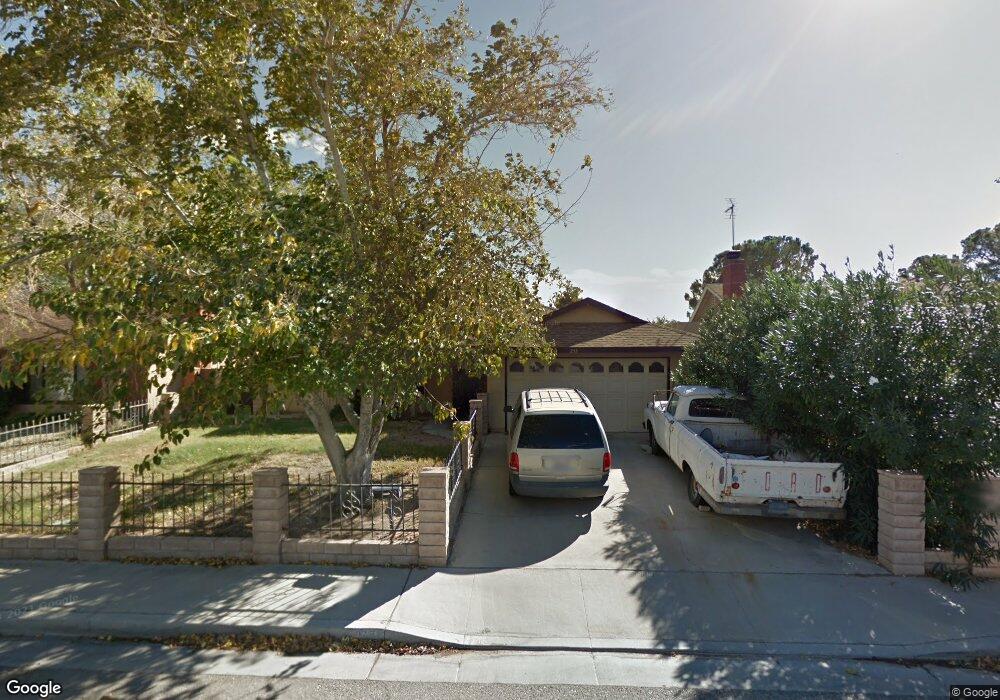
233 W Benson Ave Ridgecrest, CA 93555
Estimated Value: $238,000 - $296,000
4
Beds
3
Baths
1,675
Sq Ft
$163/Sq Ft
Est. Value
About This Home
This home is located at 233 W Benson Ave, Ridgecrest, CA 93555 and is currently estimated at $272,777, approximately $162 per square foot. 233 W Benson Ave is a home located in Kern County with nearby schools including Pierce Elementary School, James Monroe Middle School, and Burroughs High School.
Ownership History
Date
Name
Owned For
Owner Type
Purchase Details
Closed on
Apr 23, 2003
Sold by
Casey Norman H
Bought by
Rall William D and Rall Francine C
Current Estimated Value
Home Financials for this Owner
Home Financials are based on the most recent Mortgage that was taken out on this home.
Original Mortgage
$91,120
Outstanding Balance
$39,030
Interest Rate
5.71%
Mortgage Type
Purchase Money Mortgage
Estimated Equity
$233,747
Create a Home Valuation Report for This Property
The Home Valuation Report is an in-depth analysis detailing your home's value as well as a comparison with similar homes in the area
Home Values in the Area
Average Home Value in this Area
Purchase History
| Date | Buyer | Sale Price | Title Company |
|---|---|---|---|
| Rall William D | $114,000 | First American Title |
Source: Public Records
Mortgage History
| Date | Status | Borrower | Loan Amount |
|---|---|---|---|
| Open | Rall William D | $91,120 |
Source: Public Records
Tax History Compared to Growth
Tax History
| Year | Tax Paid | Tax Assessment Tax Assessment Total Assessment is a certain percentage of the fair market value that is determined by local assessors to be the total taxable value of land and additions on the property. | Land | Improvement |
|---|---|---|---|---|
| 2025 | $2,261 | $164,940 | $21,712 | $143,228 |
| 2024 | $2,195 | $161,707 | $21,287 | $140,420 |
| 2023 | $2,195 | $158,537 | $20,870 | $137,667 |
| 2022 | $2,150 | $155,429 | $20,461 | $134,968 |
| 2021 | $2,077 | $152,382 | $20,060 | $132,322 |
| 2020 | $2,077 | $150,821 | $19,855 | $130,966 |
| 2019 | $1,995 | $150,821 | $19,855 | $130,966 |
| 2018 | $1,959 | $144,967 | $19,085 | $125,882 |
| 2017 | $1,952 | $142,125 | $18,711 | $123,414 |
| 2016 | $1,876 | $139,340 | $18,345 | $120,995 |
| 2015 | $1,847 | $137,248 | $18,070 | $119,178 |
| 2014 | $1,705 | $134,561 | $17,717 | $116,844 |
Source: Public Records
Map
Nearby Homes
- 200 W Mariposa Ave
- 725 S Alvord St
- 542 S Sanders St
- 081-333-33 Mariposa Ave
- 405 Rick Ct
- 219 W Haloid Ave
- 429 Dewalt Ave
- 604 S Norma St
- 115 W Haloid Ave
- 607 S Norma St
- 224 W Wilson Ave
- 179 E Upjohn Ave
- 195 E Upjohn Ave
- 225 W Robertson Rd
- 427 W Wilson Ave
- 417 Marlene Ct
- 204 W Robertson Rd
- 209 E Upjohn Ave
- 509-090-01 Norma
- 293 E Upjohn Ave Unit C
- 229 W Benson Ave
- 237 W Benson Ave
- 232 W Rader Ave
- 225 W Benson Ave
- 228 W Rader Ave
- 241 W Benson Ave
- 236 W Rader Ave
- 224 W Rader Ave
- 232 W Benson Ave
- 240 W Rader Ave
- 228 W Benson Ave
- 236 W Benson Ave
- 221 W Benson Ave
- 245 W Benson Ave
- 220 W Rader Ave
- 224 W Benson Ave
- 240 W Benson Ave
- 244 W Rader Ave
- 217 W Benson Ave
- 220 W Benson Ave