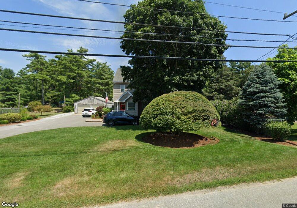
2330 Cranberry Hwy West Wareham, MA 02576
Estimated Value: $453,000 - $628,000
2
Beds
1
Bath
846
Sq Ft
$622/Sq Ft
Est. Value
About This Home
This home is located at 2330 Cranberry Hwy, West Wareham, MA 02576 and is currently estimated at $526,543, approximately $622 per square foot. 2330 Cranberry Hwy is a home located in Plymouth County.
Ownership History
Date
Name
Owned For
Owner Type
Purchase Details
Closed on
Dec 18, 2006
Sold by
Sullivan Ryan J
Bought by
Sullivan Ryan J and Sullivan Renee K
Current Estimated Value
Home Financials for this Owner
Home Financials are based on the most recent Mortgage that was taken out on this home.
Original Mortgage
$220,000
Interest Rate
6.31%
Mortgage Type
Purchase Money Mortgage
Purchase Details
Closed on
Dec 17, 2004
Sold by
Westgate Bruce J and Westgate Susan E
Bought by
Sullivan Ryan J
Create a Home Valuation Report for This Property
The Home Valuation Report is an in-depth analysis detailing your home's value as well as a comparison with similar homes in the area
Home Values in the Area
Average Home Value in this Area
Purchase History
| Date | Buyer | Sale Price | Title Company |
|---|---|---|---|
| Sullivan Ryan J | -- | -- | |
| Sullivan Ryan J | -- | -- | |
| Sullivan Ryan J | $243,900 | -- | |
| Sullivan Ryan J | $243,900 | -- |
Source: Public Records
Mortgage History
| Date | Status | Borrower | Loan Amount |
|---|---|---|---|
| Open | Sullivan Ryan J | $210,680 | |
| Closed | Sullivan Ryan J | $220,000 |
Source: Public Records
Tax History Compared to Growth
Tax History
| Year | Tax Paid | Tax Assessment Tax Assessment Total Assessment is a certain percentage of the fair market value that is determined by local assessors to be the total taxable value of land and additions on the property. | Land | Improvement |
|---|---|---|---|---|
| 2025 | $5,567 | $534,300 | $98,900 | $435,400 |
| 2024 | $5,238 | $466,400 | $77,300 | $389,100 |
| 2023 | $5,037 | $418,700 | $70,200 | $348,500 |
| 2022 | $4,758 | $361,000 | $70,200 | $290,800 |
| 2021 | $4,698 | $349,300 | $70,200 | $279,100 |
| 2020 | $4,425 | $333,700 | $70,200 | $263,500 |
| 2019 | $3,738 | $281,300 | $67,600 | $213,700 |
| 2018 | $3,581 | $262,700 | $67,600 | $195,100 |
| 2017 | $3,383 | $251,500 | $67,600 | $183,900 |
| 2016 | $3,071 | $227,000 | $65,400 | $161,600 |
| 2015 | $2,967 | $227,000 | $65,400 | $161,600 |
| 2014 | $2,508 | $195,200 | $62,100 | $133,100 |
Source: Public Records
Map
Nearby Homes
- 51 Crest Dr
- 103 Castle Dr
- 20 Gault Rd
- 27 Siesta Dr
- 47 Weaver St
- 41 Longboat Rd
- 11 Acoaxet Ln
- 59 Timber Ln
- 87 Great Hill Dr
- 2230 Cranberry Hwy Unit 1
- 189 Pine View Terrace
- 199 Windswept Rd
- 72 Papermill Rd Unit 72
- 563 County Rd
- 11 Fonseca Way
- 46 Helen St
- 527 High St
- 19 Station St
- 490 High St
- 722 Main St
- 2332 Cranberry Hwy
- 2326 Cranberry Hwy
- 2329 Cranberry Hwy
- 2324 Cranberry Hwy
- 2331 Cranberry Hwy
- 16 King Dr
- 2335 Cranberry Hwy
- 15 King Dr
- 0 King Dr Unit 24
- 18 King Dr
- 2327 Cranberry Hwy
- 19 King Dr
- 1 King Dr
- 153 Monarch Dr
- 20 King Dr
- 2 Kingdr
- 2322 Cranberry Hwy
- 21 King Dr
- 2337 Cranberry Hwy
- 171 Monarch Dr