2331 Us Route 3 Unit Plus Lot 17 Thornton, NH 03285
Estimated Value: $480,081 - $619,000
2
Beds
2
Baths
1,456
Sq Ft
$367/Sq Ft
Est. Value
About This Home
This home is located at 2331 Us Route 3 Unit Plus Lot 17, Thornton, NH 03285 and is currently estimated at $534,270, approximately $366 per square foot. 2331 Us Route 3 Unit Plus Lot 17 is a home located in Grafton County with nearby schools including Thornton Central School and Plymouth Regional High School.
Ownership History
Date
Name
Owned For
Owner Type
Purchase Details
Closed on
Mar 27, 2020
Sold by
Nericcio Diane
Bought by
Carlson Benjamin J and Snyder Kelly E
Current Estimated Value
Home Financials for this Owner
Home Financials are based on the most recent Mortgage that was taken out on this home.
Original Mortgage
$215,200
Outstanding Balance
$190,641
Interest Rate
3.4%
Mortgage Type
New Conventional
Estimated Equity
$343,629
Purchase Details
Closed on
Sep 25, 2013
Sold by
Nericcio Diane and Carr Steven E
Bought by
Nericcio Diane and Carr Steven E
Create a Home Valuation Report for This Property
The Home Valuation Report is an in-depth analysis detailing your home's value as well as a comparison with similar homes in the area
Home Values in the Area
Average Home Value in this Area
Purchase History
| Date | Buyer | Sale Price | Title Company |
|---|---|---|---|
| Carlson Benjamin J | $269,000 | None Available | |
| Nericcio Diane | -- | -- |
Source: Public Records
Mortgage History
| Date | Status | Borrower | Loan Amount |
|---|---|---|---|
| Open | Carlson Benjamin J | $215,200 |
Source: Public Records
Tax History Compared to Growth
Tax History
| Year | Tax Paid | Tax Assessment Tax Assessment Total Assessment is a certain percentage of the fair market value that is determined by local assessors to be the total taxable value of land and additions on the property. | Land | Improvement |
|---|---|---|---|---|
| 2024 | $5,763 | $506,900 | $131,000 | $375,900 |
| 2023 | $5,121 | $246,700 | $66,000 | $180,700 |
| 2022 | $4,936 | $246,700 | $66,000 | $180,700 |
| 2021 | $5,124 | $246,700 | $66,000 | $180,700 |
| 2020 | $4,961 | $246,700 | $66,000 | $180,700 |
| 2019 | $4,608 | $246,700 | $66,000 | $180,700 |
| 2018 | $4,167 | $212,500 | $50,400 | $162,100 |
| 2017 | $5,446 | $212,500 | $50,400 | $162,100 |
| 2016 | $3,157 | $212,500 | $50,400 | $162,100 |
| 2015 | $4,059 | $212,500 | $50,400 | $162,100 |
| 2014 | $3,993 | $212,500 | $50,400 | $162,100 |
| 2013 | $3,028 | $165,100 | $35,400 | $129,700 |
Source: Public Records
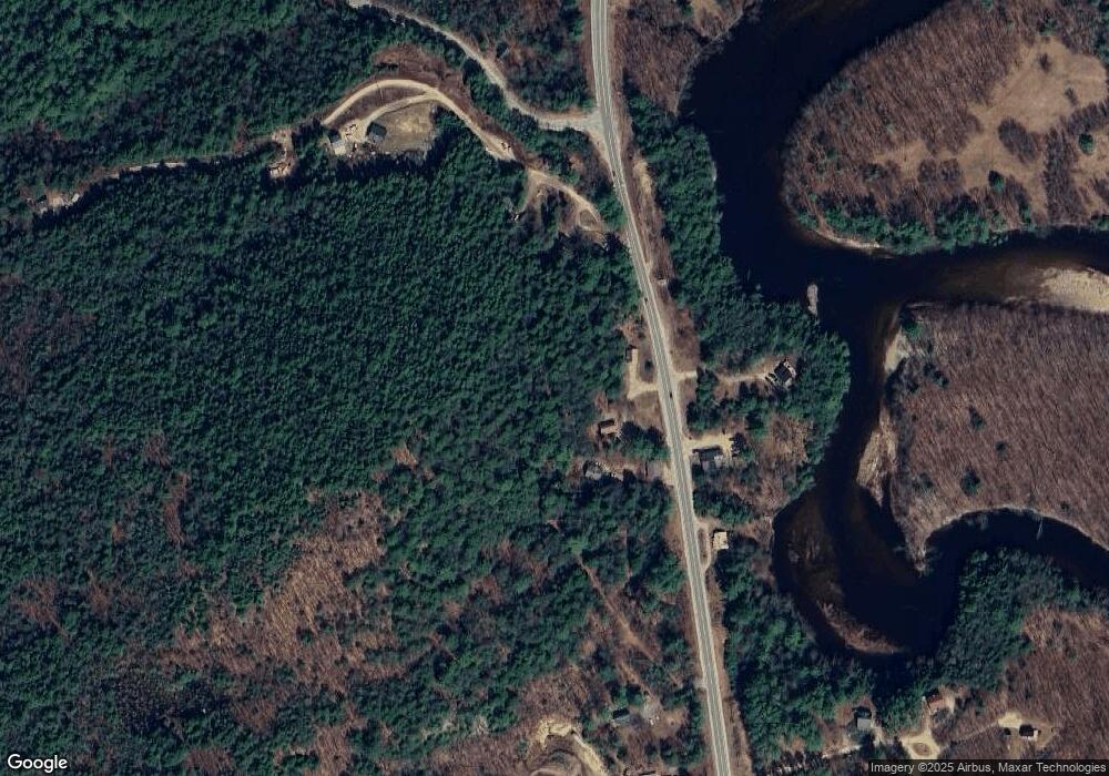
Map
Nearby Homes
- 52 Jansen Farm Rd
- 115 Adams Farm Rd
- 147 Pemi River Rd
- 15 Rising Ridge Rd
- 17 Rising Ridge Rd Unit 3
- 51 Turkey Jim Rd
- Lot 6 Edgewater Ln
- 55 Lafayette Rd Unit 2
- 19 Beacon Hill Rd
- Lot 14 Centennial Way
- 10 Benjamin Ln Unit 34
- 73 Ellsworth Hill Rd
- 26 Jack's Run
- 311 Ellsworth Hill Rd
- 383 Owl St
- 18 Panaway Dr
- 101 Mad River Rd
- 35 Mad River Rd
- 1354 Nh Route 175
- 184 Mad River Rd