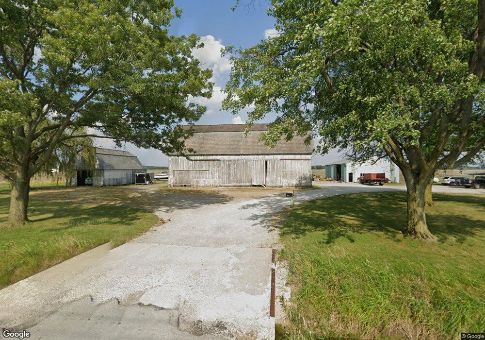
2332 Liberty Hi Rd North Baltimore, OH 45872
Estimated Value: $164,000 - $316,000
5
Beds
1
Bath
2,310
Sq Ft
$107/Sq Ft
Est. Value
About This Home
This home is located at 2332 Liberty Hi Rd, North Baltimore, OH 45872 and is currently estimated at $246,301, approximately $106 per square foot. 2332 Liberty Hi Rd is a home located in Wood County with nearby schools including E.A. Powell Elementary School, North Baltimore Middle School, and North Baltimore High School.
Ownership History
Date
Name
Owned For
Owner Type
Purchase Details
Closed on
Mar 1, 2021
Sold by
Apple Timothy F
Bought by
Apple Timothy F and Apple Deborah L
Current Estimated Value
Purchase Details
Closed on
Oct 15, 2019
Sold by
Tate Barbara A and Apple Bonnie S
Bought by
Apple Timothy F
Home Financials for this Owner
Home Financials are based on the most recent Mortgage that was taken out on this home.
Original Mortgage
$74,000
Outstanding Balance
$57,333
Interest Rate
3.6%
Mortgage Type
Purchase Money Mortgage
Estimated Equity
$188,968
Purchase Details
Closed on
Apr 25, 2018
Sold by
Franklin Apple G
Bought by
Apple Bonnie S and Tate Barbara A
Purchase Details
Closed on
Aug 18, 2005
Sold by
Apple G Franklin and Apple Dorothy
Bought by
Tate Barbara A and Apple Bonnie S
Purchase Details
Closed on
Jan 1, 1990
Bought by
Apple Franklin
Create a Home Valuation Report for This Property
The Home Valuation Report is an in-depth analysis detailing your home's value as well as a comparison with similar homes in the area
Home Values in the Area
Average Home Value in this Area
Purchase History
| Date | Buyer | Sale Price | Title Company |
|---|---|---|---|
| Apple Timothy F | -- | None Available | |
| Apple Timothy F | $74,000 | None Available | |
| Apple Bonnie S | -- | -- | |
| Tate Barbara A | -- | -- | |
| Apple Franklin | -- | -- |
Source: Public Records
Mortgage History
| Date | Status | Borrower | Loan Amount |
|---|---|---|---|
| Open | Apple Timothy F | $74,000 |
Source: Public Records
Tax History Compared to Growth
Tax History
| Year | Tax Paid | Tax Assessment Tax Assessment Total Assessment is a certain percentage of the fair market value that is determined by local assessors to be the total taxable value of land and additions on the property. | Land | Improvement |
|---|---|---|---|---|
| 2024 | $2,732 | $64,750 | $10,675 | $54,075 |
| 2023 | $2,732 | $64,200 | $10,680 | $53,520 |
| 2022 | $2,525 | $48,830 | $8,610 | $40,220 |
| 2021 | $2,414 | $47,180 | $8,610 | $38,570 |
| 2020 | $1,996 | $45,500 | $8,610 | $36,890 |
| 2019 | $2,338 | $42,740 | $8,540 | $34,200 |
| 2018 | $2,367 | $42,740 | $8,540 | $34,200 |
| 2017 | $1,655 | $42,740 | $8,540 | $34,200 |
| 2016 | $1,350 | $36,470 | $7,350 | $29,120 |
| 2015 | $1,350 | $36,470 | $7,350 | $29,120 |
| 2014 | $1,421 | $36,470 | $7,350 | $29,120 |
| 2013 | $1,677 | $36,470 | $7,350 | $29,120 |
Source: Public Records
Map
Nearby Homes
- 508 W Walnut St
- 318 Belmont St
- 300 W Water St
- 233 & 235 N Main St
- 227 E Broadway St
- 216 S Tarr St
- 508 E Water St
- 128 Zihlman St
- 209 Rudolph Rd
- 109 Smith St
- 103 Smith St
- 0 Eagleville Rd
- Lot 112 Foley Run
- 201 Briar Hill Rd
- 215 Briar Hill Rd
- 12078 Eagleville Rd
- 930 E Broadway St
- 0000 Eagleville Rd
- 0 N Maple St
- 11755 State Route 613
- 15850 Quarry Rd
- 2577 Liberty Hi Rd
- 15836 Quarry Rd
- 15836 Quarry Rd
- 2031 Liberty Hi Rd
- 16058 Deshler Rd
- 1993 Liberty Hi Rd
- 16337 Quarry Rd
- 16922 Deshler Rd
- 2112 Hough Rd
- 2922 Liberty Hi Rd
- 1891 Hough Rd
- 15852 Needles Rd
- 1845 Hough Rd
- 3100 Liberty Hi Rd
- 1801 Hough Rd
- 15530 Needles Rd
- 0 2nd St Unit 6110993
- 15389 Needles Rd
- 0 Hough Rd