2333 N Atwood Cir Mesa, AZ 85207
Desert Uplands NeighborhoodEstimated Value: $1,210,283 - $1,845,000
--
Bed
1
Bath
3,719
Sq Ft
$383/Sq Ft
Est. Value
About This Home
This home is located at 2333 N Atwood Cir, Mesa, AZ 85207 and is currently estimated at $1,424,821, approximately $383 per square foot. 2333 N Atwood Cir is a home with nearby schools including Franklin at Brimhall Elementary School, Zaharis Elementary School, and Franklin West Elementary School.
Ownership History
Date
Name
Owned For
Owner Type
Purchase Details
Closed on
May 30, 2018
Sold by
Thompson Warren W
Bought by
Thompson Warren W and Thompson Marcia D
Current Estimated Value
Purchase Details
Closed on
Oct 20, 2017
Sold by
Thompson Warren W
Bought by
Thompson Warren W and Thompson Marcia D
Purchase Details
Closed on
Dec 1, 2015
Sold by
Blandford Homes Llc
Bought by
Thompson Warren W and Thompson Marcia D
Home Financials for this Owner
Home Financials are based on the most recent Mortgage that was taken out on this home.
Original Mortgage
$325,000
Outstanding Balance
$255,812
Interest Rate
3.73%
Mortgage Type
New Conventional
Estimated Equity
$1,169,009
Create a Home Valuation Report for This Property
The Home Valuation Report is an in-depth analysis detailing your home's value as well as a comparison with similar homes in the area
Home Values in the Area
Average Home Value in this Area
Purchase History
| Date | Buyer | Sale Price | Title Company |
|---|---|---|---|
| Thompson Warren W | -- | None Available | |
| Thompson Warren W | -- | None Available | |
| Thompson Warren W | $823,611 | Old Republic Title Agency |
Source: Public Records
Mortgage History
| Date | Status | Borrower | Loan Amount |
|---|---|---|---|
| Open | Thompson Warren W | $325,000 |
Source: Public Records
Tax History Compared to Growth
Tax History
| Year | Tax Paid | Tax Assessment Tax Assessment Total Assessment is a certain percentage of the fair market value that is determined by local assessors to be the total taxable value of land and additions on the property. | Land | Improvement |
|---|---|---|---|---|
| 2025 | $6,893 | $75,952 | -- | -- |
| 2024 | $6,916 | $72,335 | -- | -- |
| 2023 | $6,916 | $96,730 | $19,340 | $77,390 |
| 2022 | $6,761 | $78,150 | $15,630 | $62,520 |
| 2021 | $6,851 | $73,980 | $14,790 | $59,190 |
| 2020 | $6,754 | $70,020 | $14,000 | $56,020 |
| 2019 | $6,270 | $67,850 | $13,570 | $54,280 |
| 2018 | $5,994 | $61,160 | $12,230 | $48,930 |
| 2017 | $5,797 | $63,830 | $12,760 | $51,070 |
| 2016 | $5,679 | $64,420 | $12,880 | $51,540 |
| 2015 | $586 | $6,176 | $6,176 | $0 |
Source: Public Records
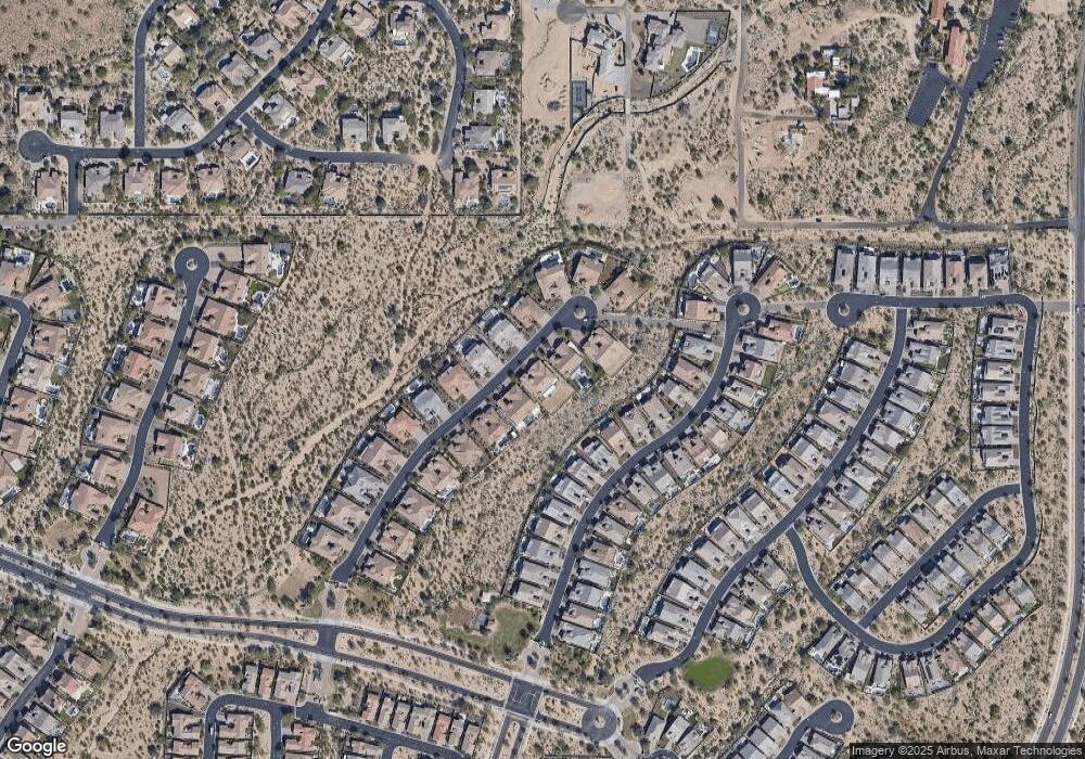
Map
Nearby Homes
- 9010 E Kenwood St
- 9127 E Lynwood St
- 2304 N Steele Cir
- 2152 N 88th St
- 2114 N Canelo Hills
- 9155 E Leonora St
- 2041 N 88th St
- 2441 N Cabot Cir
- 2311 N Tierra Alta Cir
- 8542 E Lockwood St
- 2335 N Adair Cir
- 8720 E Norcroft Cir
- 2052 N Steele Cir
- 1856 N Atwood
- 85XX E Culver St
- 8703 E Nora St
- 2365 N Pyrite Unit II
- 1813 N Trowbridge
- 1732 N Makalu Cir
- 9137 E Odessa St
- 2341 N Atwood Cir
- 2325 N Atwood Cir
- 2334 N Atwood Cir
- 2317 N Atwood Cir
- 2326 N Atwood Cir
- 2349 N Atwood Cir
- 2342 N Atwood Cir
- 2318 N Atwood Cir
- 2262 N Estates Cir
- 2309 N Atwood Cir
- 2310 N Estates Cir
- 2350 N Atwood Cir
- 2358 N Atwood Cir
- 2304 N Estates Cir
- 2310 N Atwood Cir
- 2256 N Estates Cir
- 2250 N Estates Cir
- 2316 N Estates Cir
- 2357 N Atwood Cir
- 2322 N Estates Cir