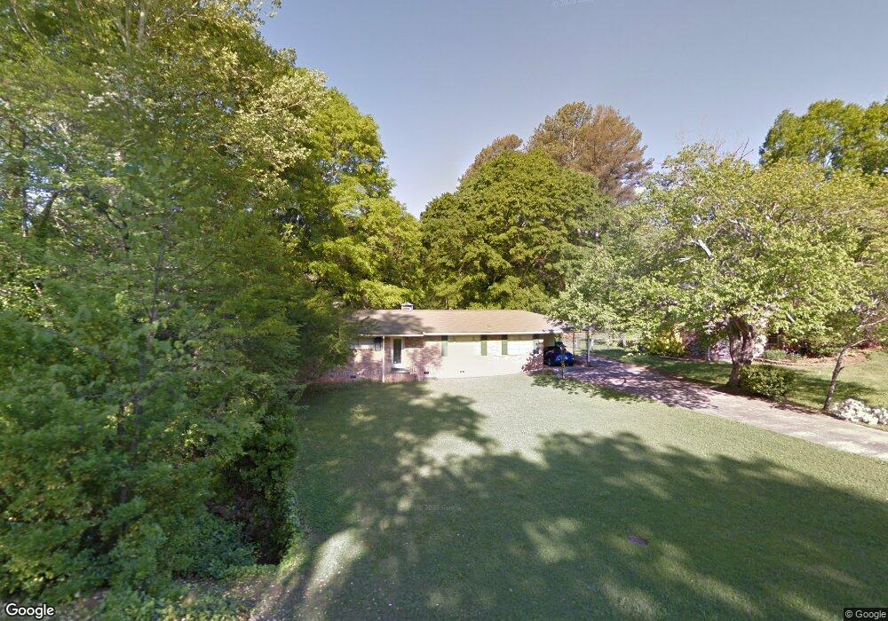
2333 Woodridge Dr Unit 2 Marietta, GA 30066
Sandy Plains NeighborhoodEstimated Value: $333,000 - $383,000
3
Beds
2
Baths
1,958
Sq Ft
$181/Sq Ft
Est. Value
About This Home
This home is located at 2333 Woodridge Dr Unit 2, Marietta, GA 30066 and is currently estimated at $353,627, approximately $180 per square foot. 2333 Woodridge Dr Unit 2 is a home located in Cobb County with nearby schools including Blackwell Elementary School, Daniell Middle School, and Sprayberry High School.
Ownership History
Date
Name
Owned For
Owner Type
Purchase Details
Closed on
Jun 30, 2004
Sold by
Yother Hoyt L and Yother Sue C
Bought by
Garrison James F
Current Estimated Value
Home Financials for this Owner
Home Financials are based on the most recent Mortgage that was taken out on this home.
Original Mortgage
$140,000
Outstanding Balance
$70,079
Interest Rate
6.25%
Mortgage Type
New Conventional
Estimated Equity
$283,548
Create a Home Valuation Report for This Property
The Home Valuation Report is an in-depth analysis detailing your home's value as well as a comparison with similar homes in the area
Home Values in the Area
Average Home Value in this Area
Purchase History
| Date | Buyer | Sale Price | Title Company |
|---|---|---|---|
| Garrison James F | $140,000 | -- |
Source: Public Records
Mortgage History
| Date | Status | Borrower | Loan Amount |
|---|---|---|---|
| Open | Garrison James F | $140,000 |
Source: Public Records
Tax History Compared to Growth
Tax History
| Year | Tax Paid | Tax Assessment Tax Assessment Total Assessment is a certain percentage of the fair market value that is determined by local assessors to be the total taxable value of land and additions on the property. | Land | Improvement |
|---|---|---|---|---|
| 2024 | $3,352 | $149,000 | $30,000 | $119,000 |
| 2023 | $1,934 | $108,664 | $30,000 | $78,664 |
| 2022 | $2,129 | $91,852 | $26,000 | $65,852 |
| 2021 | $2,147 | $92,688 | $26,000 | $66,688 |
| 2020 | $1,583 | $66,928 | $20,000 | $46,928 |
| 2019 | $1,583 | $66,928 | $20,000 | $46,928 |
| 2018 | $1,358 | $56,652 | $16,000 | $40,652 |
| 2017 | $1,284 | $55,832 | $16,000 | $39,832 |
| 2016 | $1,076 | $46,324 | $12,000 | $34,324 |
| 2015 | $1,104 | $46,324 | $12,000 | $34,324 |
| 2014 | $1,114 | $46,324 | $0 | $0 |
Source: Public Records
Map
Nearby Homes
- 844 Kurtz Rd
- 1100 Sallete Ct
- 551 Duke Dr
- 0000 Oland Cir
- 0 Oland Cir Unit 10570943
- 2047 Kingswood Dr
- 2391 Black Oak Dr
- 2037 Kingswood Dr
- 2388 Black Oak Dr
- 2659 Bethel Ct
- 921 Chesterfield Dr
- 2018 Darrell Dr
- 2850 Seagrave Way
- 2813 New South Dr
- 2813 New Dr S
- 159 Kendrick Farm Ln Unit 15
- 180 Parkstone Way Unit 3
- 178 Parkstone Way
- 721 Ruby St
- 2321 Woodridge Dr
- 2343 Woodridge Dr
- 0 Woodridge Dr Unit 7210875
- 0 Woodridge Dr Unit 10155708
- 0 Woodridge Dr Unit 7130716
- 0 Woodridge Dr Unit 10101612
- 0 Woodridge Dr Unit 7277485
- 0 Woodridge Dr Unit 8050500
- 0 Woodridge Dr Unit 7291490
- 0 Woodridge Dr Unit 7130972
- 2355 Woodridge Dr
- 2320 Fox Dr
- 2344 Fox Dr
- 2320 Woodridge Dr
- 2342 Woodridge Dr
- 2297 Woodridge Dr
- 2298 Fox Dr
- 2363 Woodridge Dr
- 2354 Woodridge Dr
- 2356 Fox Dr