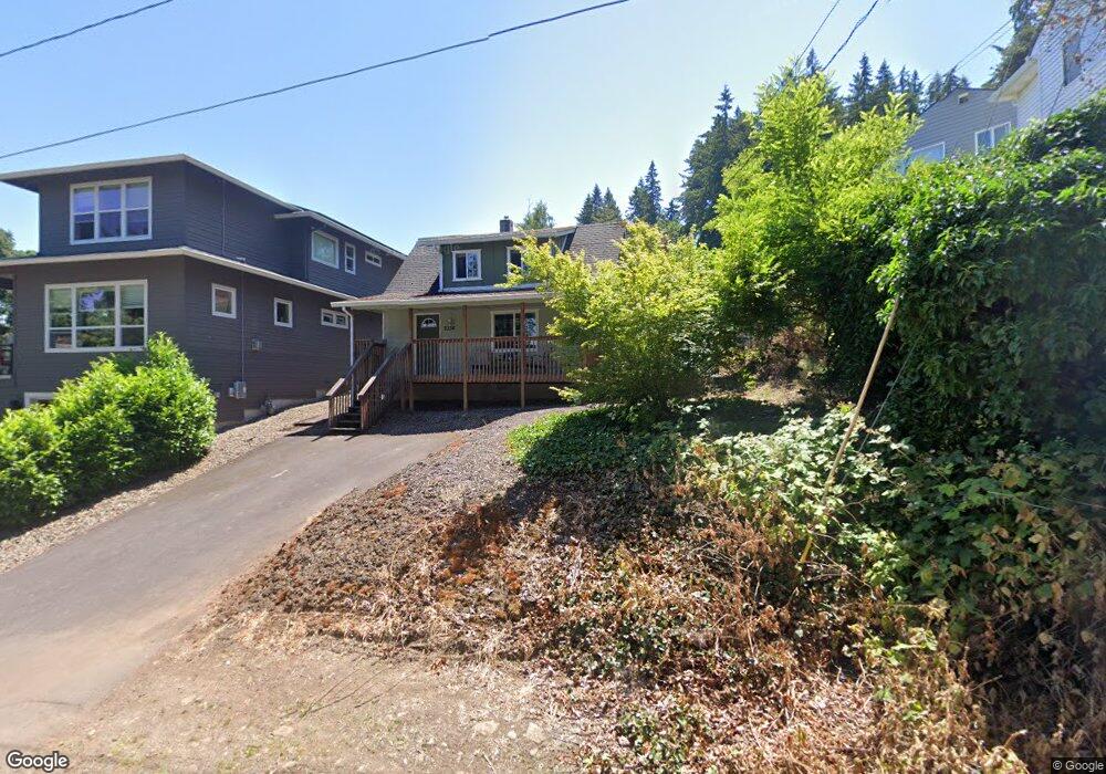
2334 Randall St West Linn, OR 97068
Bolton NeighborhoodEstimated Value: $462,354 - $585,000
2
Beds
1
Bath
1,316
Sq Ft
$385/Sq Ft
Est. Value
About This Home
This home is located at 2334 Randall St, West Linn, OR 97068 and is currently estimated at $506,839, approximately $385 per square foot. 2334 Randall St is a home located in Clackamas County with nearby schools including Bolton Primary School, West Linn High School, and Clackamas Academy of Industrial Sciences (CAIS).
Ownership History
Date
Name
Owned For
Owner Type
Purchase Details
Closed on
Jul 18, 2019
Sold by
Young Carol A and Mills Lester A
Bought by
Mills Lester Allen and Mills Shannon Deanne
Current Estimated Value
Home Financials for this Owner
Home Financials are based on the most recent Mortgage that was taken out on this home.
Original Mortgage
$227,500
Interest Rate
3.82%
Mortgage Type
New Conventional
Purchase Details
Closed on
Apr 25, 2018
Sold by
Young Carol A
Bought by
Young Carol A and Mills Lester A
Create a Home Valuation Report for This Property
The Home Valuation Report is an in-depth analysis detailing your home's value as well as a comparison with similar homes in the area
Home Values in the Area
Average Home Value in this Area
Purchase History
| Date | Buyer | Sale Price | Title Company |
|---|---|---|---|
| Mills Lester Allen | -- | None Available | |
| Young Carol A | -- | None Available |
Source: Public Records
Mortgage History
| Date | Status | Borrower | Loan Amount |
|---|---|---|---|
| Closed | Mills Lester Allen | $227,500 |
Source: Public Records
Tax History Compared to Growth
Tax History
| Year | Tax Paid | Tax Assessment Tax Assessment Total Assessment is a certain percentage of the fair market value that is determined by local assessors to be the total taxable value of land and additions on the property. | Land | Improvement |
|---|---|---|---|---|
| 2025 | $3,075 | $159,582 | -- | -- |
| 2024 | $2,960 | $154,934 | -- | -- |
| 2023 | $2,960 | $150,422 | $0 | $0 |
| 2022 | $2,794 | $146,041 | $0 | $0 |
| 2021 | $2,652 | $141,788 | $0 | $0 |
| 2020 | $2,670 | $137,659 | $0 | $0 |
| 2019 | $2,547 | $133,650 | $0 | $0 |
| 2018 | $2,433 | $129,757 | $0 | $0 |
| 2017 | $2,338 | $125,978 | $0 | $0 |
| 2016 | $2,278 | $122,309 | $0 | $0 |
| 2015 | $2,213 | $118,747 | $0 | $0 |
| 2014 | $2,131 | $115,288 | $0 | $0 |
Source: Public Records
Map
Nearby Homes
- 20930 Fawn Ct Unit 26
- 6403 Tompkins Ct
- 6345 Caufield St
- 1954 Buck St
- 5128 Firwood Dr
- 5219 Summit St
- 2488 Tulane St
- 2700 Underhill Ln Unit 1
- 4050 Serango Ct
- 5910 W A St
- 5062 Prospect St
- 4973 Summit St
- 2764 Ridge Ln
- 1470 Rosemont Rd
- 2583 Pimlico Dr
- 4020 Ridge Ln
- 20120 Larkspur Ln Unit 85
- 4794 Coho Ln
- 20080 Larkspur Ln Unit 50
- 20070 Larkspur Ln Unit 61
- 2322 Randall St
- 0 Randall St Unit 11379078
- 2600 Randall St
- 0 Randall St Unit 10093116
- 0 Randall St Unit 8033465
- 0 Randall St Unit 8201 10004390
- 0 Randall St
- 6255 Barlow Re-List
- 6265 Barlow St
- 2323 Buck St
- 2367 Buck St
- 2395 Randall St
- 6285 Atkinson St
- 6245 Atkinson St
- 6345 Barlow St
- 2277 Buck St
- 2444 Randall St
- 6242 Barlow St
- 2332 Buck St
- 2435 Randall St