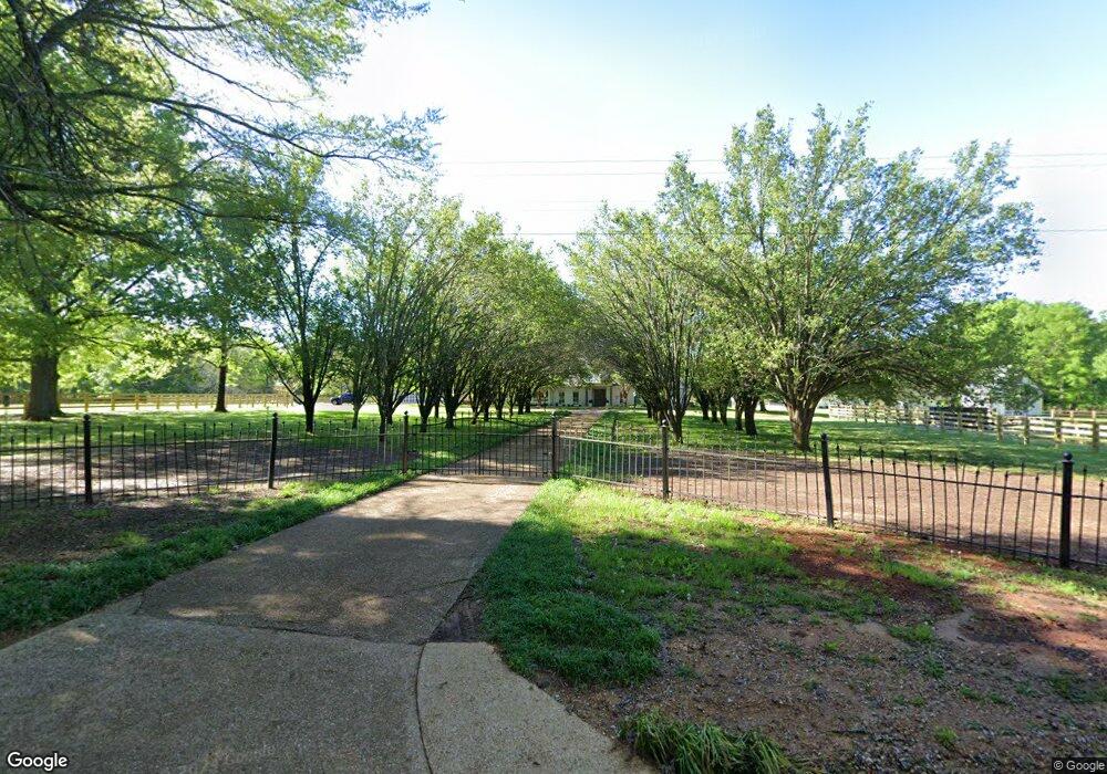
2335 Taylor Thurston Rd Columbus, MS 39701
Estimated Value: $518,000 - $782,999
--
Bed
--
Bath
4,250
Sq Ft
$153/Sq Ft
Est. Value
About This Home
This home is located at 2335 Taylor Thurston Rd, Columbus, MS 39701 and is currently estimated at $650,500, approximately $153 per square foot. 2335 Taylor Thurston Rd is a home.
Ownership History
Date
Name
Owned For
Owner Type
Purchase Details
Closed on
Oct 19, 2021
Sold by
Dale Taylor Thomas and Dale Lana M
Bought by
Middleton Harley Taylor and Middleton Zachary
Current Estimated Value
Purchase Details
Closed on
May 5, 2017
Sold by
Sullivan Billy L and Sullivan Claudia N
Bought by
Taylor Thomas Dale and Taylor Lana M
Home Financials for this Owner
Home Financials are based on the most recent Mortgage that was taken out on this home.
Original Mortgage
$424,100
Interest Rate
4.03%
Mortgage Type
New Conventional
Create a Home Valuation Report for This Property
The Home Valuation Report is an in-depth analysis detailing your home's value as well as a comparison with similar homes in the area
Home Values in the Area
Average Home Value in this Area
Purchase History
| Date | Buyer | Sale Price | Title Company |
|---|---|---|---|
| Middleton Harley Taylor | -- | J Douglas Dalrymple Pa | |
| Taylor Thomas Dale | -- | None Available |
Source: Public Records
Mortgage History
| Date | Status | Borrower | Loan Amount |
|---|---|---|---|
| Previous Owner | Taylor Thomas Dale | $424,100 |
Source: Public Records
Tax History Compared to Growth
Tax History
| Year | Tax Paid | Tax Assessment Tax Assessment Total Assessment is a certain percentage of the fair market value that is determined by local assessors to be the total taxable value of land and additions on the property. | Land | Improvement |
|---|---|---|---|---|
| 2025 | $2,423 | $36,963 | $0 | $0 |
| 2024 | $2,423 | $36,965 | $0 | $0 |
| 2023 | $2,413 | $32,898 | $0 | $0 |
| 2022 | $2,415 | $32,903 | $0 | $0 |
| 2021 | $2,328 | $32,951 | $0 | $0 |
| 2020 | $2,199 | $32,956 | $0 | $0 |
| 2019 | $2,732 | $32,522 | $0 | $0 |
| 2018 | $2,732 | $34,044 | $0 | $0 |
| 2017 | $2,257 | $50,967 | $0 | $0 |
| 2016 | $2,257 | $34,034 | $0 | $0 |
| 2015 | -- | $39,098 | $0 | $0 |
| 2014 | -- | $38,707 | $0 | $0 |
Source: Public Records
Map
Nearby Homes
- 0 Golden Horn Rd
- 23 Breezeway Cove
- 28 Breezeway Cove
- 0 S Frontage Rd
- 96 Breezeway Cove
- 100 Breezeway Cove
- 112 Breezeway Cove
- 110 Breezeway Cove
- 59 Breland Overlook
- 75 Breland Overlook
- 0 Breland Overlook Unit 25-2169
- 0 S Frontage Road Lot #5 Unit 25-583
- 0 S Frontage Road Lot #3 Unit 25-581
- 0 S Frontage Road Lot #1 Unit 25-579
- 5 W Bank Access Rd
- 2 W Bank Access Rd
- 4 W Bank Access Rd
- 3 W Bank Access Rd
- 3267 Old West Point Rd
- 1381 S Frontage Rd
- 995 Steger Rd
- 932 Steger Rd
- 969 Steger Rd
- 2094 Taylor Thurston Rd
- 927 Steger Rd
- 2045 Taylor Thurston Rd
- 113 Elm Cove
- 93 Elm Cove
- 133 Elm Cove
- 2035 Taylor Thurston Rd
- 2056 Taylor Thurston Rd
- 69 Elm Cove
- 104 Elm Cove
- 43 Elm Cove
- 78 Elm Cove
- 1991 Taylor Thurston Rd
- 17 Elm Cove
- 849 Steger Rd
- 142 Elm Dr
- 232 Elm Dr