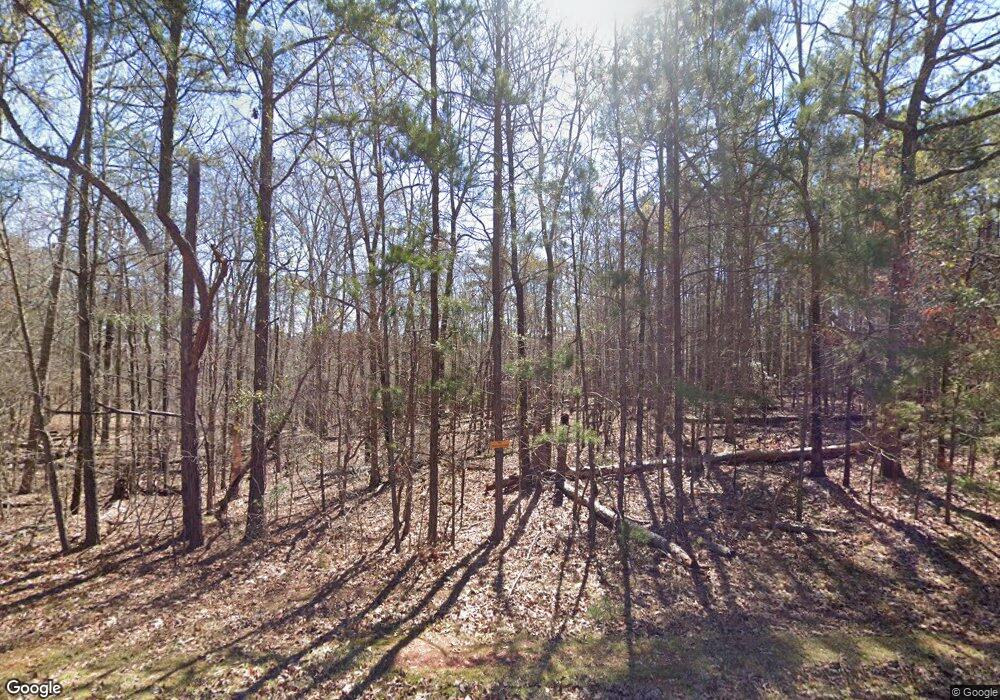
2338 Maxim Rd Lincolnton, GA 30817
Estimated Value: $61,099 - $474,000
--
Bed
--
Bath
--
Sq Ft
2.29
Acres
About This Home
This home is located at 2338 Maxim Rd, Lincolnton, GA 30817 and is currently estimated at $203,033. 2338 Maxim Rd is a home with nearby schools including Lincoln County Elementary School, Lincoln County Middle School, and Lincoln County High School.
Ownership History
Date
Name
Owned For
Owner Type
Purchase Details
Closed on
Dec 12, 2012
Sold by
Walter Gertrude B
Bought by
Mcfadden Joel
Current Estimated Value
Purchase Details
Closed on
Oct 24, 2002
Sold by
Williams Mark W
Bought by
Walter David W and Walter Gertrude B
Purchase Details
Closed on
Oct 31, 1988
Sold by
Ford James W
Bought by
Williams Mark W
Purchase Details
Closed on
Jul 17, 1986
Sold by
Booker William A
Bought by
Ford James W
Purchase Details
Closed on
Jan 7, 1983
Sold by
Farr Mary
Bought by
Booker William A
Purchase Details
Closed on
Aug 8, 1979
Sold by
Herring Luther
Bought by
Farr Mary
Purchase Details
Closed on
May 24, 1976
Bought by
Herring Luther
Create a Home Valuation Report for This Property
The Home Valuation Report is an in-depth analysis detailing your home's value as well as a comparison with similar homes in the area
Home Values in the Area
Average Home Value in this Area
Purchase History
| Date | Buyer | Sale Price | Title Company |
|---|---|---|---|
| Mcfadden Joel | $30,000 | -- | |
| Walter David W | $34,000 | -- | |
| Williams Mark W | $23,300 | -- | |
| Ford James W | $21,400 | -- | |
| Booker William A | $9,000 | -- | |
| Farr Mary | -- | -- | |
| Herring Luther | -- | -- |
Source: Public Records
Tax History Compared to Growth
Tax History
| Year | Tax Paid | Tax Assessment Tax Assessment Total Assessment is a certain percentage of the fair market value that is determined by local assessors to be the total taxable value of land and additions on the property. | Land | Improvement |
|---|---|---|---|---|
| 2025 | $243 | $9,960 | $8,880 | $1,080 |
| 2024 | $250 | $9,520 | $8,440 | $1,080 |
| 2023 | $204 | $7,760 | $6,680 | $1,080 |
| 2022 | $193 | $7,760 | $6,680 | $1,080 |
| 2021 | $186 | $6,760 | $5,800 | $960 |
| 2020 | $217 | $6,760 | $5,800 | $960 |
| 2019 | $218 | $6,760 | $5,800 | $960 |
| 2018 | $212 | $6,760 | $5,800 | $960 |
| 2017 | $430 | $13,680 | $12,680 | $1,000 |
| 2015 | -- | $13,680 | $12,680 | $1,000 |
| 2014 | -- | $13,680 | $12,680 | $1,000 |
Source: Public Records
Map
Nearby Homes
- 1179 Lakeside Dr
- 1129 Lakeside Dr
- 1016 Hidden Lake Ct
- 1164 Sally Ann Ct
- 1085 Lake Dr
- 1080 Serenity Pointe Dr
- 1051 Lake Dr
- 1063 Fleming Lake Ct
- 1063 Fleming Lk Ct
- 1036 Longleaf Way
- 1-3 Long Cove Dr
- 6-3 Long Cove Dr
- 8-3 Long Cove Dr
- 5-3 Long Cove Dr
- 4-3 Long Cove Dr
- 3-3 Long Cove Dr
- 2-3 Long Cove Dr
- 0 Sturkey Ferry Rd Unit 24022341
- 7-3 Long Cove
- 1128 Whitstone Rd
- 1128 Broken Arrow Rd
- 1108 Broken Arrow Rd
- 000 Maxim Rd
- 7.35 Maxim Rd
- 2550 Maxim Rd
- 00 Maxim Rd
- 1035 Lakeside Dr
- 2830 Maxim Rd
- 1052 Lakeside Dr
- 2873 Maxim Rd
- 1049 Lakeside Dr
- 2872 Maxim Rd
- 2861 Maxim Rd
- 1080 Lakeside Dr
- 0 Lakeside Dr Unit 471486
- 55 & 56 Lakeside Dr
- 2878 Maxim Rd
- 1085 Lakeside Dr
- 1270 Lakeside Dr
- 2891 Maxim Rd