2338 Shulls Fork Rd Gilbert, SC 29054
Estimated Value: $365,000 - $654,000
Studio
--
Bath
720
Sq Ft
$688/Sq Ft
Est. Value
About This Home
This home is located at 2338 Shulls Fork Rd, Gilbert, SC 29054 and is currently estimated at $495,485, approximately $688 per square foot. 2338 Shulls Fork Rd is a home with nearby schools including Centerville Elementary School, Gilbert Middle School, and Gilbert High School.
Ownership History
Date
Name
Owned For
Owner Type
Purchase Details
Closed on
Aug 28, 2025
Sold by
Tri Son Properties Llc
Bought by
Connelly Cynthia and Rodes Kyah Lynne
Current Estimated Value
Purchase Details
Closed on
Nov 14, 2024
Sold by
Pleasant Russell G and Crapps Michael D
Bought by
Tri Son Properties Llc
Purchase Details
Closed on
Apr 7, 2016
Sold by
Pleasant Lois T
Bought by
Pleasant Russell G and Wafefield Cathy Sue Pleasant
Purchase Details
Closed on
Jan 5, 2016
Sold by
Pleasant Lois T
Bought by
Pleasant Lois T
Create a Home Valuation Report for This Property
The Home Valuation Report is an in-depth analysis detailing your home's value as well as a comparison with similar homes in the area
Home Values in the Area
Average Home Value in this Area
Purchase History
| Date | Buyer | Sale Price | Title Company |
|---|---|---|---|
| Connelly Cynthia | $470,000 | None Listed On Document | |
| Connelly Cynthia | $470,000 | None Listed On Document | |
| Tri Son Properties Llc | $350,000 | None Listed On Document | |
| Crapps Michael D | -- | None Listed On Document | |
| Pleasant Russell G | -- | None Available | |
| Pleasant Lois T | -- | Attorney |
Source: Public Records
Tax History
| Year | Tax Paid | Tax Assessment Tax Assessment Total Assessment is a certain percentage of the fair market value that is determined by local assessors to be the total taxable value of land and additions on the property. | Land | Improvement |
|---|---|---|---|---|
| 2024 | $9,752 | $6,085 | $5,952 | $133 |
| 2023 | $487 | $6,085 | $5,952 | $133 |
| 2022 | $495 | $6,085 | $5,952 | $133 |
| 2020 | $517 | $6,085 | $5,952 | $133 |
| 2019 | $403 | $7,938 | $7,680 | $258 |
| 2018 | $3,910 | $7,938 | $7,680 | $258 |
| 2017 | $3,844 | $7,938 | $7,680 | $258 |
| 2016 | $402 | $5,292 | $5,120 | $172 |
| 2014 | $332 | $4,604 | $4,416 | $188 |
| 2013 | -- | $5,060 | $4,420 | $640 |
Source: Public Records
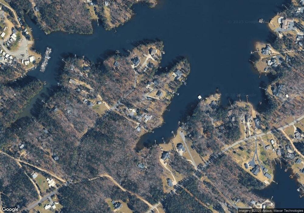
Map
Nearby Homes
- 1233 Shull Island Rd
- 1148 Shull Island Rd
- 1317 Shore Rd
- 1459 Bombing Range Rd
- 1633 Barracks Dr
- 1305 Rock Island Rd
- 116 Aloha Ct
- 417 Dot Ct
- 870 Shore Rd
- 180 Lillian St
- 0 Misty Cir Unit 566318
- 148 Pintail Lake Dr
- 157 Blue Wing Dr
- 274 Pintail Lake Dr
- 1 Downing Cir
- 278 Pintail Lake Dr
- 64 Downing Cir
- 532 Radnor Hunt Ct
- 204 Chamois Ct
- 116 Renard Way
- 2334 Shulls Fork Rd
- 2342 Shulls Fork Rd
- 2350 Shulls Fork Rd
- 2330 Shulls Fork Rd
- 1223 Shull Island Rd
- 2358 Shulls Fork Rd
- 2346 Shulls Fork Rd
- 2359 Shulls Fork Rd
- 2345 Shulls Fork Rd
- 2366 Shulls Fork Rd
- 2366 Shulls Fork Rd Unit 29054
- 1221 Shull Island Rd
- 1205 Shull Island Rd
- 1245 Shull Island Rd
- 109 Shull Fork Ct
- 118 Shull Fork Ct
- 2337 Shulls Fork Rd
- 1211 Shull Island Rd
- 2327 Shulls Fork Rd
- 124 Shull Fork Ct
Your Personal Tour Guide
Ask me questions while you tour the home.