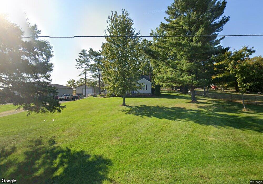
23382 State Route 67 Wapakoneta, OH 45895
Estimated Value: $163,000 - $287,000
2
Beds
1
Bath
1,503
Sq Ft
$137/Sq Ft
Est. Value
About This Home
This home is located at 23382 State Route 67, Wapakoneta, OH 45895 and is currently estimated at $206,363, approximately $137 per square foot. 23382 State Route 67 is a home located in Auglaize County with nearby schools including Waynesfield-Goshen Local Elementary School and Waynesfield-Goshen Local High School.
Ownership History
Date
Name
Owned For
Owner Type
Purchase Details
Closed on
Nov 7, 2023
Sold by
Blank Lee T
Bought by
Blank Lee T and Blank Cynthia A
Current Estimated Value
Purchase Details
Closed on
Jun 27, 2000
Sold by
Blank Lee T
Bought by
Blank Lee T
Purchase Details
Closed on
Feb 8, 1991
Bought by
Blank Lee T
Purchase Details
Closed on
Apr 1, 1987
Create a Home Valuation Report for This Property
The Home Valuation Report is an in-depth analysis detailing your home's value as well as a comparison with similar homes in the area
Home Values in the Area
Average Home Value in this Area
Purchase History
| Date | Buyer | Sale Price | Title Company |
|---|---|---|---|
| Blank Lee T | -- | None Listed On Document | |
| Blank Lee T | -- | -- | |
| Blank Lee T | $20,000 | -- | |
| -- | $96,000 | -- |
Source: Public Records
Tax History Compared to Growth
Tax History
| Year | Tax Paid | Tax Assessment Tax Assessment Total Assessment is a certain percentage of the fair market value that is determined by local assessors to be the total taxable value of land and additions on the property. | Land | Improvement |
|---|---|---|---|---|
| 2024 | $2,953 | $47,180 | $7,180 | $40,000 |
| 2023 | $1,727 | $47,180 | $7,180 | $40,000 |
| 2022 | $1,624 | $37,820 | $6,550 | $31,270 |
| 2021 | $1,397 | $32,800 | $6,550 | $26,250 |
| 2020 | $813 | $32,799 | $6,545 | $26,254 |
| 2019 | $1,147 | $27,447 | $5,453 | $21,994 |
| 2018 | $1,096 | $27,447 | $5,453 | $21,994 |
| 2017 | $1,076 | $27,447 | $5,453 | $21,994 |
| 2016 | $983 | $25,816 | $5,194 | $20,622 |
| 2015 | $983 | $25,816 | $5,194 | $20,622 |
| 2014 | $985 | $25,816 | $5,194 | $20,622 |
| 2013 | $1,084 | $25,816 | $5,194 | $20,622 |
Source: Public Records
Map
Nearby Homes
- 105 Guthrie St
- 202 W Mulberry St
- 25836 Ohio 67
- 22275 Buckland Holden Rd
- 20630 State Route 67
- 5065 Amherst Rd
- 17 E Walnut St
- 37 N Main St
- 0 Ohio 67
- 8150 Amherst Rd
- 17946 National Rd
- 6616 Bellefontaine Rd
- 7165 Faulkner Rd
- 6381 McPheron Rd
- E Hanthorn Rd
- 5600 E Hanthorn Rd
- 4160 E Hanthorn Rd
- 1200 E Breese Rd
- 3080 E Hanthorn Rd
- 3828 Saint Johns Rd
- 23369 State Route 67
- 23319 Ohio 67
- 23538 State Route 67
- 16956 Rinehart Rd
- 16910 Rinehart Rd
- 23170 State Route 67
- 23612 State Route 67
- 23680 State Route 67
- 16752 Rinehart Rd
- 23698 State Route 67
- 16650 Rinehart Rd
- 22998 State Route 67
- 17438 Graham Rd
- 16443 Rinehart Rd
- 17476 Graham Rd
- 17385 Santa Fe Line Rd
- 17385 Santa Fe Line Rd
- 17015 Santa Fe Line Rd
- 22739 State Route 67