2339 Lawrence Ln Springfield, TN 37172
Estimated Value: $841,000 - $2,232,000
--
Bed
3
Baths
4,444
Sq Ft
$366/Sq Ft
Est. Value
About This Home
This home is located at 2339 Lawrence Ln, Springfield, TN 37172 and is currently estimated at $1,625,695, approximately $365 per square foot. 2339 Lawrence Ln is a home located in Robertson County with nearby schools including Westside Elementary School, Cheatham Park Elementary School, and Coopertown Middle School.
Ownership History
Date
Name
Owned For
Owner Type
Purchase Details
Closed on
May 14, 2018
Sold by
Switzer Bryan L and Switzer Jennifer
Bought by
Psrk Holdings Llc
Current Estimated Value
Purchase Details
Closed on
Aug 26, 1998
Purchase Details
Closed on
May 11, 1990
Bought by
Better Block Co Inc
Purchase Details
Closed on
May 27, 1988
Bought by
Ellsworth Dana A
Purchase Details
Closed on
Sep 4, 1987
Bought by
Ellsworth Dana A
Purchase Details
Closed on
Jul 6, 1987
Purchase Details
Closed on
Jan 1, 1977
Create a Home Valuation Report for This Property
The Home Valuation Report is an in-depth analysis detailing your home's value as well as a comparison with similar homes in the area
Home Values in the Area
Average Home Value in this Area
Purchase History
| Date | Buyer | Sale Price | Title Company |
|---|---|---|---|
| Psrk Holdings Llc | $1,260,000 | Compass Land Title Llc | |
| -- | $140,000 | -- | |
| Better Block Co Inc | -- | -- | |
| Ellsworth Dana A | -- | -- | |
| Ellsworth Dana A | -- | -- | |
| -- | -- | -- | |
| -- | $125,000 | -- |
Source: Public Records
Tax History Compared to Growth
Tax History
| Year | Tax Paid | Tax Assessment Tax Assessment Total Assessment is a certain percentage of the fair market value that is determined by local assessors to be the total taxable value of land and additions on the property. | Land | Improvement |
|---|---|---|---|---|
| 2024 | -- | $282,225 | $47,150 | $235,075 |
| 2023 | $7,071 | $282,225 | $47,150 | $235,075 |
| 2022 | $7,799 | $213,775 | $28,300 | $185,475 |
| 2021 | $7,799 | $213,775 | $28,300 | $185,475 |
| 2020 | $7,799 | $213,775 | $28,300 | $185,475 |
| 2019 | $234,707 | $213,775 | $28,300 | $185,475 |
| 2018 | $7,268 | $246,625 | $75,700 | $170,925 |
| 2017 | $6,718 | $156,775 | $20,800 | $135,975 |
| 2016 | $6,198 | $156,775 | $20,800 | $135,975 |
| 2015 | $6,016 | $144,625 | $20,800 | $123,825 |
| 2014 | $6,011 | $144,500 | $20,800 | $123,700 |
Source: Public Records
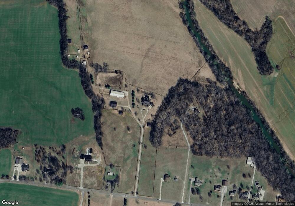
Map
Nearby Homes
- 1421 Lawrence Ln
- 4108 Airport Rd
- 7373 New Chapel Rd
- 461 Berry Cir
- 4231 Airport Rd
- 5148 Highway 49 W
- 0 Forest Park Rd Unit RTC3002406
- 0 Forest Park Rd Unit RTC3002403
- 0 Forest Park Rd Unit RTC3002408
- 1503 5th Ave W
- 5106 High Oaks Place
- 1100 Goose Dr
- 5058 New Chapel Rd
- 2060 Beverly Ct
- 1137 Goose Dr
- 108 Valley Dr
- 1161 Goose Dr
- 3545 Jim Gower Rd
- 3508 Forest Park Rd
- 100 Pitt Ln
- 2339 Lawrence Ln
- 2241 Lawrence Ln
- 2287 Lawrence Ln
- 432 Lawrence Ln
- 2385 Lawrence Ln
- 2229 Lawrence Ln
- 2163 Lawrence Ln
- 2386 Lawrence Ln
- 446 Lawrence Ln
- 2131 Lawrence Ln
- 2111 Lawrence Ln
- 2087 Lawrence Ln
- 320 Lawrence Ln
- 331 Lawrence Ln
- 2038 Lawrence Ln
- 2038 Lawrence Ln
- 1926 Lawrence Ln
- 0 Lawrence Ln
- 2004 Lawrence Ln
- 309 Lawrence Ln