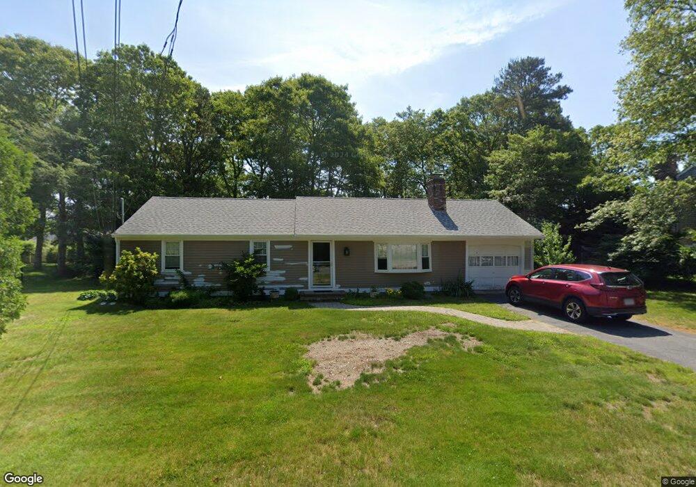
234 Buckskin Path Centerville, MA 02632
Centerville NeighborhoodEstimated Value: $552,000 - $637,000
About This Home
This home is located at 234 Buckskin Path, Centerville, MA 02632 and is currently estimated at $583,046, approximately $485 per square foot. 234 Buckskin Path is a home located in Barnstable County with nearby schools including Centerville Elementary School, Barnstable United Elementary School, and Barnstable Intermediate School.
Ownership History
We collect this data history from publicly available records. To have your information removed, we recommend requesting removal directly through your county’s website.
Purchase Details
Home Financials for this Owner
Home Financials are based on the most recent Mortgage that was taken out on this home.Home Values in the Area
Average Home Value in this Area
Purchase History
We collect this data history from publicly available records. To have your information removed, we recommend requesting removal directly through your county’s website.
| Date | Buyer | Sale Price | Title Company |
|---|---|---|---|
| $305,000 | -- |
Mortgage History
We collect this data history from publicly available records. To have your information removed, we recommend requesting removal directly through your county’s website.
| Date | Status | Borrower | Loan Amount |
|---|---|---|---|
| Open | $205,000 | ||
| Closed | $69,500 |
Tax History
We collect this data history from publicly available records. To have your information removed, we recommend requesting removal directly through your county’s website.
| Year | Tax Paid | Tax Assessment Tax Assessment Total Assessment is a certain percentage of the fair market value that is determined by local assessors to be the total taxable value of land and additions on the property. | Land | Improvement |
|---|---|---|---|---|
| 2025 | $3,762 | $465,000 | $151,900 | $313,100 |
| 2024 | $3,611 | $462,300 | $151,900 | $310,400 |
| 2023 | $3,407 | $408,500 | $138,100 | $270,400 |
| 2022 | $3,235 | $335,600 | $102,300 | $233,300 |
| 2021 | $3,084 | $294,000 | $102,300 | $191,700 |
| 2020 | $3,144 | $286,900 | $102,300 | $184,600 |
| 2019 | $3,003 | $266,200 | $102,300 | $163,900 |
| 2018 | $2,735 | $243,800 | $107,700 | $136,100 |
| 2017 | $2,553 | $237,300 | $107,700 | $129,600 |
| 2016 | $2,595 | $238,100 | $108,500 | $129,600 |
| 2015 | $2,466 | $227,300 | $105,100 | $122,200 |
Map
- 3 Thoreau Dr
- 38 White Oak Trail
- 195 Knotty Pine Ln
- 23 Baird Way
- 49 Powderhorn Way
- 900 Old Stage Rd
- 1115 Shootflying Hill Rd
- 302 Ames Way
- 168 Highland Dr
- 48 Bridgets Path
- 39 Indian Trail
- 844 Shootflying Hill Rd
- 1309 Shootflying Hill Rd
- 1309 Shootflying Hill Rd
- 3 Yacht Club Rd
- 17 Outpost Ln
- 562 Skunknet Rd
- 169 Cedric Rd
- 53 Hadrada Ln
- 105 Taramac Rd
- 247 Buckskin Path
- 237 Buckskin Path
- 257 Buckskin Path
- 212 Skunknet Rd
- 202 Skunknet Rd
- 227 Buckskin Path
- 244 Buckskin Path
- 267 Buckskin Path
- 256 Buckskin Path
- 222 Skunknet Rd
- 26 Skunknet Rd
- 192 Skunknet Rd
- 266 Buckskin Path
- 217 Buckskin Path
- 232 Skunknet Rd
- 182 Skunknet Rd
- 277 Buckskin Path
- 224 Buckskin Path
- 221 Monomoy Cir
- 211 Monomoy Cir
Ask me questions while you tour the home.