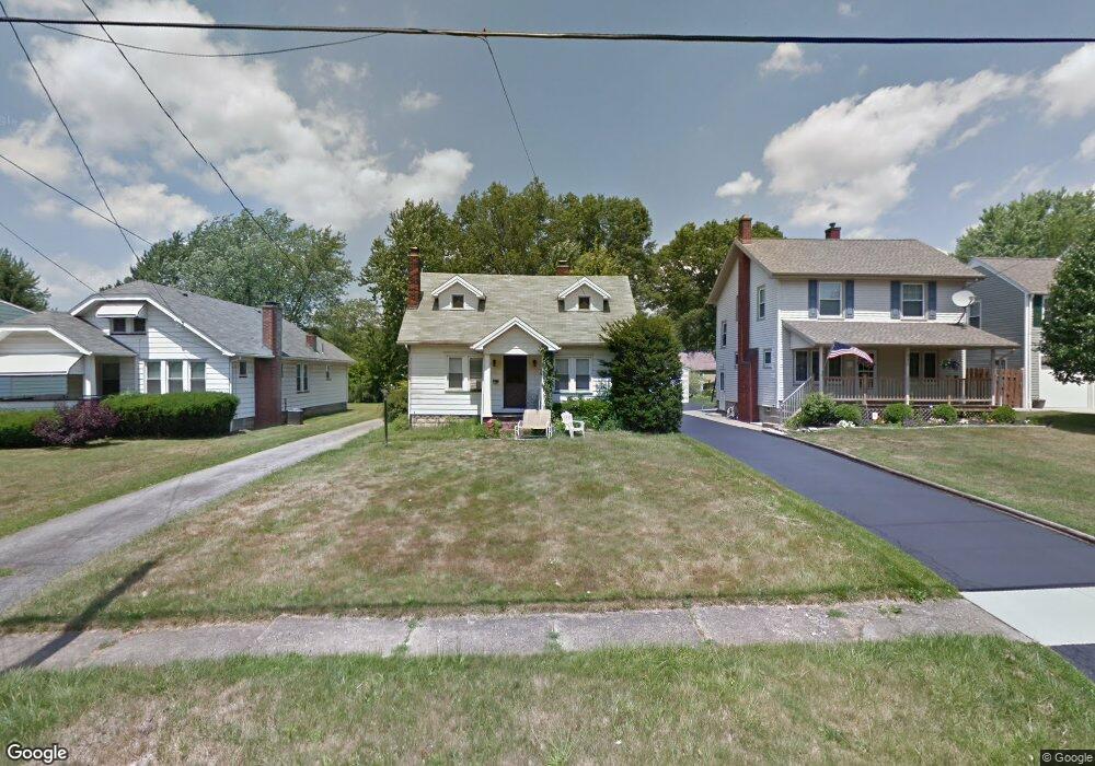
234 Erskine Ave Youngstown, OH 44512
Estimated Value: $110,029 - $155,000
3
Beds
1
Bath
1,190
Sq Ft
$106/Sq Ft
Est. Value
About This Home
This home is located at 234 Erskine Ave, Youngstown, OH 44512 and is currently estimated at $125,757, approximately $105 per square foot. 234 Erskine Ave is a home located in Mahoning County with nearby schools including Boardman Glenwood Junior High School, Boardman High School, and Horizon Science Academy - Youngstown.
Ownership History
Date
Name
Owned For
Owner Type
Purchase Details
Closed on
Dec 15, 2004
Sold by
Seefried Marian F
Bought by
Gaudio Dawn
Current Estimated Value
Home Financials for this Owner
Home Financials are based on the most recent Mortgage that was taken out on this home.
Original Mortgage
$44,000
Outstanding Balance
$22,196
Interest Rate
5.84%
Mortgage Type
Purchase Money Mortgage
Estimated Equity
$103,561
Purchase Details
Closed on
Jun 13, 1977
Bought by
Seefried Marian F
Create a Home Valuation Report for This Property
The Home Valuation Report is an in-depth analysis detailing your home's value as well as a comparison with similar homes in the area
Home Values in the Area
Average Home Value in this Area
Purchase History
| Date | Buyer | Sale Price | Title Company |
|---|---|---|---|
| Gaudio Dawn | $55,000 | -- | |
| Seefried Marian F | -- | -- |
Source: Public Records
Mortgage History
| Date | Status | Borrower | Loan Amount |
|---|---|---|---|
| Open | Gaudio Dawn | $44,000 |
Source: Public Records
Tax History Compared to Growth
Tax History
| Year | Tax Paid | Tax Assessment Tax Assessment Total Assessment is a certain percentage of the fair market value that is determined by local assessors to be the total taxable value of land and additions on the property. | Land | Improvement |
|---|---|---|---|---|
| 2024 | $1,363 | $26,550 | $4,360 | $22,190 |
| 2023 | $1,345 | $26,550 | $4,360 | $22,190 |
| 2022 | $962 | $14,370 | $4,040 | $10,330 |
| 2021 | $962 | $14,370 | $4,040 | $10,330 |
| 2020 | $967 | $14,370 | $4,040 | $10,330 |
| 2019 | $949 | $12,270 | $3,450 | $8,820 |
| 2018 | $1,110 | $12,270 | $3,450 | $8,820 |
| 2017 | $943 | $12,270 | $3,450 | $8,820 |
| 2016 | $872 | $13,380 | $3,860 | $9,520 |
| 2015 | $854 | $13,380 | $3,860 | $9,520 |
| 2014 | $857 | $13,380 | $3,860 | $9,520 |
| 2013 | $846 | $13,380 | $3,860 | $9,520 |
Source: Public Records
Map
Nearby Homes
- 167 Afton Ave
- 127 Melrose Ave
- 329 Afton Ave
- 0 Indianola Rd
- 149 Argyle Ave
- 175 Homestead Dr
- 81 Melrose Ave
- 0 Mathews Rd Unit 5038026
- 429 Tudor Ln
- 0 Cranberry Ln Unit 5170595
- 148 Clifton Dr
- 4715 Euclid Blvd
- 197 Mathews Rd Unit B
- 44 Gertrude Ave
- 6001 Applecrest Dr
- 4552 New England Blvd
- 424 Mathews Rd
- 83 Beechwood Dr
- 94 Beechwood Dr
- 767 Indianola Rd
- 230 Erskine Ave
- 240 Erskine Ave
- 228 Erskine Ave
- 244 Erskine Ave
- 237 Melrose Ave
- 239 Melrose Ave
- 233 Melrose Ave
- 214 Erskine Ave
- 241 Melrose Ave
- 225 Melrose Ave
- 252 Erskine Ave
- 235 Erskine Ave
- 229 Erskine Ave
- 239 Erskine Ave
- 245 Melrose Ave
- 221 Melrose Ave
- 225 Erskine Ave
- 243 Erskine Ave
- 210 Erskine Ave
- 254 Erskine Ave