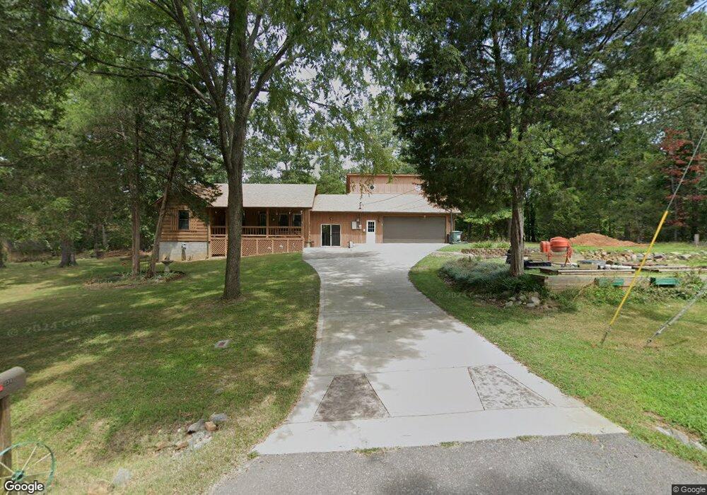
234 Jared Cir Big Rock, TN 37023
Estimated Value: $239,526 - $299,000
--
Bed
2
Baths
1,473
Sq Ft
$185/Sq Ft
Est. Value
About This Home
This home is located at 234 Jared Cir, Big Rock, TN 37023 and is currently estimated at $272,132, approximately $184 per square foot. 234 Jared Cir is a home located in Stewart County with nearby schools including North Stewart Elementary School, Stewart County Middle School, and Stewart County High School.
Ownership History
Date
Name
Owned For
Owner Type
Purchase Details
Closed on
Aug 18, 2022
Sold by
Buttrum Brian G and Buttrum Darlene R
Bought by
Guglielmo Rebecca C
Current Estimated Value
Purchase Details
Closed on
Oct 29, 2005
Sold by
Not Provided
Bought by
Buttrum Brian G
Purchase Details
Closed on
May 16, 2003
Bought by
Mcginnis Ian D and Mcginnis Kristin N
Purchase Details
Closed on
Oct 29, 1999
Purchase Details
Closed on
May 1, 1992
Bought by
Schulze Sakae B
Create a Home Valuation Report for This Property
The Home Valuation Report is an in-depth analysis detailing your home's value as well as a comparison with similar homes in the area
Home Values in the Area
Average Home Value in this Area
Purchase History
| Date | Buyer | Sale Price | Title Company |
|---|---|---|---|
| Guglielmo Rebecca C | -- | Foundation Title | |
| Buttrum Brian G | $82,000 | -- | |
| Mcginnis Ian D | $79,900 | -- | |
| -- | $76,000 | -- | |
| Schulze Sakae B | $59,000 | -- |
Source: Public Records
Tax History Compared to Growth
Tax History
| Year | Tax Paid | Tax Assessment Tax Assessment Total Assessment is a certain percentage of the fair market value that is determined by local assessors to be the total taxable value of land and additions on the property. | Land | Improvement |
|---|---|---|---|---|
| 2024 | $845 | $56,850 | $3,825 | $53,025 |
| 2023 | $788 | $33,400 | $2,550 | $30,850 |
| 2022 | $785 | $33,250 | $2,400 | $30,850 |
| 2021 | $785 | $33,250 | $2,400 | $30,850 |
| 2020 | $758 | $33,250 | $2,400 | $30,850 |
| 2019 | $758 | $29,725 | $2,400 | $27,325 |
| 2018 | $758 | $29,725 | $2,400 | $27,325 |
| 2017 | $821 | $29,725 | $2,400 | $27,325 |
| 2016 | $821 | $32,225 | $2,400 | $29,825 |
| 2015 | $796 | $32,225 | $2,400 | $29,825 |
| 2014 | $857 | $32,225 | $2,400 | $29,825 |
| 2013 | $857 | $34,712 | $0 | $0 |
Source: Public Records
Map
Nearby Homes
- 2 Haleys Cove
- 376 Joiner Hollow Rd
- 242 Barn Circle Rd
- 2447 Highway 120
- 1394 Highway 120
- 234 Bazzie Dock Rd
- 124 Hayes Fork Creek Rd
- 1077 Bumpus Mills Rd
- 124 Norris Hancock Rd
- 223 Oak Tree Dr
- 3023 Highway 120 Unit 3021
- 416 Walker Ridge Rd
- 1551 Old Highway 79 Unit 1551
- 0 Stimson Rd Unit 24207833
- 0 Stimson Rd Unit RTC2944698
- 55-56 Old Tobaccoport Rd
- 909 Old Highway 79
- 130 Wayne Threatt Rd
- 330 Durwachter Rd
- 1 Highway 79
- 246 Jared Cir
- 219 Jared Cir
- 228 Jared Cir
- 128 Jared Cir
- 134 Jared Cir
- 218 Jared Cir
- 210 Jared Cir
- 116 Jared Cir
- 1821 Highway 120
- 1839 Highway 120
- 309 Sandy Kay Rd
- 1810 Tennessee 120
- 1816 Highway 120
- 1794 Highway 120
- 1803 Highway 120
- 1834 Highway 120
- 1820 Highway 120
- 301 Sandy Kay Rd
- 1786 Highway 120
- 1786 Highway 120