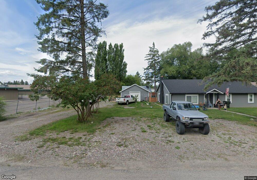
234 Pheasant Dr Kalispell, MT 59901
Estimated Value: $407,000 - $435,000
3
Beds
1
Bath
1,492
Sq Ft
$281/Sq Ft
Est. Value
About This Home
This home is located at 234 Pheasant Dr, Kalispell, MT 59901 and is currently estimated at $419,955, approximately $281 per square foot. 234 Pheasant Dr is a home located in Flathead County with nearby schools including East Evergreen School, Evergreen Junior High School (7-8), and Glacier High School.
Ownership History
Date
Name
Owned For
Owner Type
Purchase Details
Closed on
Feb 4, 2025
Sold by
Lee Grant and Sturos Emory
Bought by
Lee Grant
Current Estimated Value
Purchase Details
Closed on
Oct 19, 2021
Sold by
Lee Grant
Bought by
Lee Grant and Sturos Emory
Home Financials for this Owner
Home Financials are based on the most recent Mortgage that was taken out on this home.
Original Mortgage
$213,000
Interest Rate
2.8%
Mortgage Type
New Conventional
Purchase Details
Closed on
Mar 5, 2021
Sold by
Prestbye Richard A
Bought by
Lee Grant
Home Financials for this Owner
Home Financials are based on the most recent Mortgage that was taken out on this home.
Original Mortgage
$165,000
Interest Rate
2.7%
Mortgage Type
Purchase Money Mortgage
Purchase Details
Closed on
Mar 1, 2006
Sold by
Prestbye Richard A and The Estate Of Beulah S Prestby
Bought by
Prestbye Richard A
Create a Home Valuation Report for This Property
The Home Valuation Report is an in-depth analysis detailing your home's value as well as a comparison with similar homes in the area
Purchase History
| Date | Buyer | Sale Price | Title Company |
|---|---|---|---|
| Lee Grant | -- | None Listed On Document | |
| Lee Grant | -- | Fidelity National Title | |
| Lee Grant | -- | First American Title Company | |
| Prestbye Richard A | -- | None Available |
Source: Public Records
Mortgage History
| Date | Status | Borrower | Loan Amount |
|---|---|---|---|
| Previous Owner | Lee Grant | $213,000 | |
| Previous Owner | Lee Grant | $165,000 |
Source: Public Records
Tax History
| Year | Tax Paid | Tax Assessment Tax Assessment Total Assessment is a certain percentage of the fair market value that is determined by local assessors to be the total taxable value of land and additions on the property. | Land | Improvement |
|---|---|---|---|---|
| 2025 | $1,428 | $364,369 | $0 | $0 |
| 2024 | $1,668 | $260,613 | $0 | $0 |
| 2023 | $1,712 | $260,613 | $0 | $0 |
| 2022 | $2,006 | $230,800 | $0 | $0 |
| 2021 | $2,128 | $230,800 | $0 | $0 |
| 2020 | $2,166 | $221,100 | $0 | $0 |
| 2019 | $2,138 | $221,100 | $0 | $0 |
| 2018 | $1,661 | $168,700 | $0 | $0 |
| 2017 | $1,650 | $168,700 | $0 | $0 |
| 2016 | $1,388 | $145,600 | $0 | $0 |
| 2015 | $1,359 | $145,600 | $0 | $0 |
| 2014 | $1,552 | $103,138 | $0 | $0 |
Source: Public Records
Map
Nearby Homes
- 532 E Evergreen Dr
- 98 Mackin Ct
- 563 E Evergreen Dr
- 45 Mackin Ct
- 37 Mackin Ct
- 536 E Evergreen Dr
- 532 & 534 E Evergreen Dr
- 534 E Evergreen Dr
- 518 Solberg Dr
- 1063 Harmony Ct
- 148 Shadow Mountain Trail
- 132 Shadow Mountain Trail
- 164 Shadow Mountain Trail
- 689 Swan Mountain Village Dr
- 112 Freedom Way
- 111 Freedom Way Unit BARNDOMINIUM
- 128 E Evergreen Dr
- 103 Spring Creek Dr
- 53 Bluebird Dr
- 430 Judith Rd
- 240 Pheasant Dr
- 241 Pheasant Dr
- 300 Pheasant Dr
- 233 Parliament Dr
- 235 Parliament Dr
- 224 Pheasant Dr
- 243 Pheasant Dr
- 225 Pheasant Dr
- 243 Parliament Dr
- 304 Pheasant Dr
- 232 Pheasant Dr
- 303 Pheasant Dr
- 310 Pheasant Dr
- 229 Parliament Dr
- 307 Pheasant Dr
- 227 Harmony Rd
- 238 Parliament Dr
- 244 Helena Flats Rd
- 222 Parliament Dr
- 230 Helena Flats Rd
Your Personal Tour Guide
Ask me questions while you tour the home.