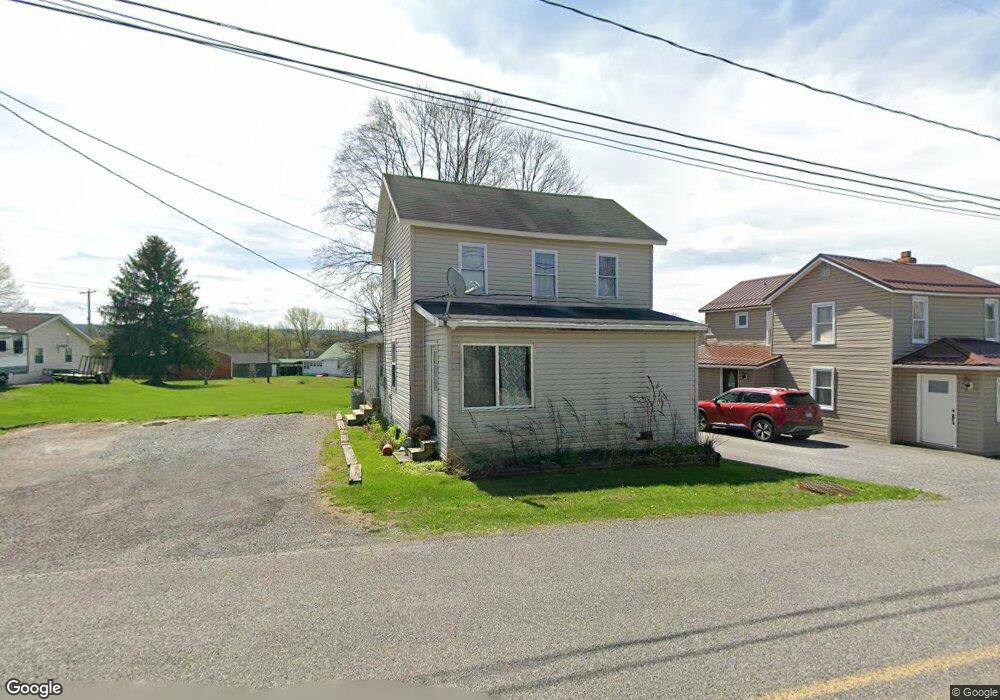
234 Powell St Hawk Run, PA 16840
Estimated Value: $73,409 - $206,000
Studio
--
Bath
--
Sq Ft
9,583
Sq Ft
About This Home
This home is located at 234 Powell St, Hawk Run, PA 16840 and is currently estimated at $160,102. 234 Powell St is a home located in Clearfield County with nearby schools including West Branch Area Elementary School, West Branch Area Junior/Senior High School, and Faith Christian Academy.
Ownership History
Date
Name
Owned For
Owner Type
Purchase Details
Closed on
Aug 27, 2010
Sold by
Guenot Timothy and Guenot Rebecca A
Bought by
Liptak Jonathan
Current Estimated Value
Purchase Details
Closed on
Aug 8, 2007
Sold by
Jsc Trucking Inc
Bought by
Liptak Jonathan
Home Financials for this Owner
Home Financials are based on the most recent Mortgage that was taken out on this home.
Original Mortgage
$90,000
Interest Rate
6.78%
Mortgage Type
New Conventional
Purchase Details
Closed on
Aug 23, 2005
Sold by
Lasalle Bank National Association
Bought by
Daniell Randall C and Daniell Randy C
Create a Home Valuation Report for This Property
The Home Valuation Report is an in-depth analysis detailing your home's value as well as a comparison with similar homes in the area
Purchase History
| Date | Buyer | Sale Price | Title Company |
|---|---|---|---|
| Liptak Jonathan | -- | None Available | |
| Liptak Jonathan | $90,000 | First American Title Insuran | |
| Daniell Randall C | -- | None Available |
Source: Public Records
Mortgage History
| Date | Status | Borrower | Loan Amount |
|---|---|---|---|
| Previous Owner | Liptak Jonathan | $90,000 |
Source: Public Records
Tax History
| Year | Tax Paid | Tax Assessment Tax Assessment Total Assessment is a certain percentage of the fair market value that is determined by local assessors to be the total taxable value of land and additions on the property. | Land | Improvement |
|---|---|---|---|---|
| 2025 | $586 | $7,900 | $1,950 | $5,950 |
| 2024 | $99 | $3,950 | $975 | $2,975 |
| 2023 | $520 | $3,950 | $975 | $2,975 |
| 2022 | $510 | $3,950 | $975 | $2,975 |
| 2021 | $513 | $3,950 | $975 | $2,975 |
| 2020 | $501 | $3,950 | $975 | $2,975 |
| 2019 | $501 | $3,950 | $975 | $2,975 |
| 2018 | $466 | $3,950 | $975 | $2,975 |
| 2017 | $480 | $3,950 | $975 | $2,975 |
| 2016 | -- | $3,950 | $975 | $2,975 |
| 2015 | -- | $3,950 | $975 | $2,975 |
| 2014 | -- | $3,950 | $975 | $2,975 |
Source: Public Records
Map
Nearby Homes
- 1866 Morrisdale Allport Hwy
- 47 Whitman St
- 158 Womer Rd
- 113 Loch Lomond Rd
- 2931 Morrisdale Allport Hwy
- 515 N 11th St
- 3307 Morrisdale Allport Hwy
- 314 N 4th St
- 316 N Centre St
- 407 E Pine St
- 305 E Laurel St
- 109 & 109B N Centre St
- 100 S Centre St
- 317 E Hickory St
- 210 S 2nd St
- 309 S Centre St
- 0 Meadow Ln
- ON Hardscrabble Rd
- 0 Hardscrabble Rd
- 0 Wallaceton Rd Unit PACD2044830
- 226 Powell St
- 260 Powell St
- 212 Powell St
- 249 Powell St
- 229 Powell St
- 274 Powell St
- 95 Empire Rd
- 209 Powell St
- 111 Empire Rd
- 31 3rd St
- 193 Powell St
- 100 Glastonbury St
- 76 Glastonbury St
- 179 Powell St
- 56 Glastonbury St
- 24 Telcott St
- 24 25 58 Telcott St
- 1504 Glastonbury St
- 154 Glastonbury St
- 133 Glastonbury St
Your Personal Tour Guide
Ask me questions while you tour the home.