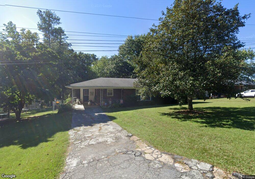
234 Price St Bremen, GA 30110
Estimated Value: $236,000 - $280,000
3
Beds
2
Baths
1,252
Sq Ft
$201/Sq Ft
Est. Value
About This Home
This home is located at 234 Price St, Bremen, GA 30110 and is currently estimated at $251,649, approximately $200 per square foot. 234 Price St is a home located in Haralson County with nearby schools including Jones Elementary School, Bremen 4th & 5th Grade Academy, and Bremen Middle School.
Ownership History
Date
Name
Owned For
Owner Type
Purchase Details
Closed on
Jun 15, 2020
Sold by
Bennett Connie J
Bought by
Meeks Michael Anthony and Meeks Janet Sexton
Current Estimated Value
Home Financials for this Owner
Home Financials are based on the most recent Mortgage that was taken out on this home.
Original Mortgage
$108,400
Outstanding Balance
$96,088
Interest Rate
3.2%
Mortgage Type
New Conventional
Estimated Equity
$155,561
Purchase Details
Closed on
Jan 20, 2016
Sold by
Lockridge Velma W
Bought by
Bennett Connie J
Create a Home Valuation Report for This Property
The Home Valuation Report is an in-depth analysis detailing your home's value as well as a comparison with similar homes in the area
Home Values in the Area
Average Home Value in this Area
Purchase History
| Date | Buyer | Sale Price | Title Company |
|---|---|---|---|
| Meeks Michael Anthony | $158,400 | -- | |
| Bennett Connie J | $40,000 | -- | |
| Lockridge Velma W | -- | -- |
Source: Public Records
Mortgage History
| Date | Status | Borrower | Loan Amount |
|---|---|---|---|
| Open | Meeks Michael Anthony | $108,400 |
Source: Public Records
Tax History Compared to Growth
Tax History
| Year | Tax Paid | Tax Assessment Tax Assessment Total Assessment is a certain percentage of the fair market value that is determined by local assessors to be the total taxable value of land and additions on the property. | Land | Improvement |
|---|---|---|---|---|
| 2024 | $1,390 | $50,096 | $8,480 | $41,616 |
| 2023 | $1,607 | $54,114 | $8,000 | $46,114 |
| 2022 | $408 | $44,353 | $8,000 | $36,353 |
| 2021 | $431 | $42,670 | $8,000 | $34,670 |
| 2020 | $418 | $43,195 | $8,000 | $35,195 |
| 2019 | $417 | $41,675 | $8,000 | $33,675 |
| 2018 | $422 | $41,675 | $8,000 | $33,675 |
| 2017 | $189 | $33,106 | $8,000 | $25,106 |
| 2016 | $385 | $31,006 | $8,000 | $23,006 |
| 2015 | $378 | $30,343 | $8,000 | $22,343 |
| 2014 | $410 | $30,687 | $8,000 | $22,687 |
Source: Public Records
Map
Nearby Homes
- 330 Kensington Cir
- 311 Kensington Cir
- 111 Bryan St W
- 223 Gordon St
- 0 Sewell Rd Unit 10624236
- 0 Sewell Rd Unit 7665305
- 522 Atlantic Ave
- 6315 Highway 78
- 107 Marchman St
- 273 Sewell Rd
- 225 Edwards St
- 4000 Highway 78
- 4711 Highway 78 Unit 235
- 4711 Highway 78
- 417 Georgia Ave N
- 422 Oak St
- 201 Georgia Ave S
- 208 Georgia Ave S
- 232 Price St
- 236 Price St
- 233 Kensington Cir
- 231 Kensington Cir
- 238 Price St
- 230 Price St
- 235 Kensington Cir
- 233 Price St
- 237 Price St
- 0 Price St Unit 7230191
- 0 Price St Unit 7157509
- 0 Price St Unit 3222097
- 0 Price St Unit 8790657
- 0 Price St Unit 8767870
- 0 Price St Unit 8601539
- 0 Price St
- 140 Kaiser St
- 240 Price St
- 229 Kensington Cir
- 228 Price St