234 Red Tail Rd Unit (Lot 117) Polson, MT 59860
Estimated Value: $140,448 - $154,000
--
Bed
--
Bath
--
Sq Ft
0.39
Acres
About This Home
This home is located at 234 Red Tail Rd Unit (Lot 117), Polson, MT 59860 and is currently estimated at $145,149. 234 Red Tail Rd Unit (Lot 117) is a home located in Lake County with nearby schools including Cherry Valley School, Linderman Elementary School, and Polson Middle School (7-8).
Ownership History
Date
Name
Owned For
Owner Type
Purchase Details
Closed on
Jun 26, 2025
Sold by
Dennis Paul Andrew and Dennis Aretha Iswari
Bought by
Nelson Douglas L and Nelson Julie K
Current Estimated Value
Purchase Details
Closed on
Oct 29, 2020
Sold by
Wallace John M and Wallace Jolene C
Bought by
Dennis Paul Andrew and Dennis Aretha Iswari
Purchase Details
Closed on
Sep 25, 2017
Sold by
Mckiernan James J and Mckiernan Donna
Bought by
Wallace John M and Wallace Jolene C
Purchase Details
Closed on
May 31, 2006
Sold by
Northwest Holdings L L C
Bought by
Mckiernan James J and Mckiernan Donna
Create a Home Valuation Report for This Property
The Home Valuation Report is an in-depth analysis detailing your home's value as well as a comparison with similar homes in the area
Home Values in the Area
Average Home Value in this Area
Purchase History
| Date | Buyer | Sale Price | Title Company |
|---|---|---|---|
| Nelson Douglas L | -- | None Listed On Document | |
| Dennis Paul Andrew | -- | None Available | |
| Wallace John M | -- | None Available | |
| Mckiernan James J | -- | None Available |
Source: Public Records
Tax History Compared to Growth
Tax History
| Year | Tax Paid | Tax Assessment Tax Assessment Total Assessment is a certain percentage of the fair market value that is determined by local assessors to be the total taxable value of land and additions on the property. | Land | Improvement |
|---|---|---|---|---|
| 2025 | $1,214 | $275,410 | $0 | $0 |
| 2024 | $788 | $100,331 | $0 | $0 |
| 2023 | $754 | $100,331 | $0 | $0 |
| 2022 | $692 | $80,590 | $0 | $0 |
| 2021 | $767 | $80,590 | $0 | $0 |
| 2020 | $792 | $83,042 | $0 | $0 |
| 2019 | $803 | $83,042 | $0 | $0 |
| 2018 | $861 | $90,036 | $0 | $0 |
| 2017 | $841 | $90,036 | $0 | $0 |
| 2016 | $1,236 | $131,908 | $0 | $0 |
| 2015 | $1,187 | $131,908 | $0 | $0 |
| 2014 | $1,349 | $93,594 | $0 | $0 |
Source: Public Records
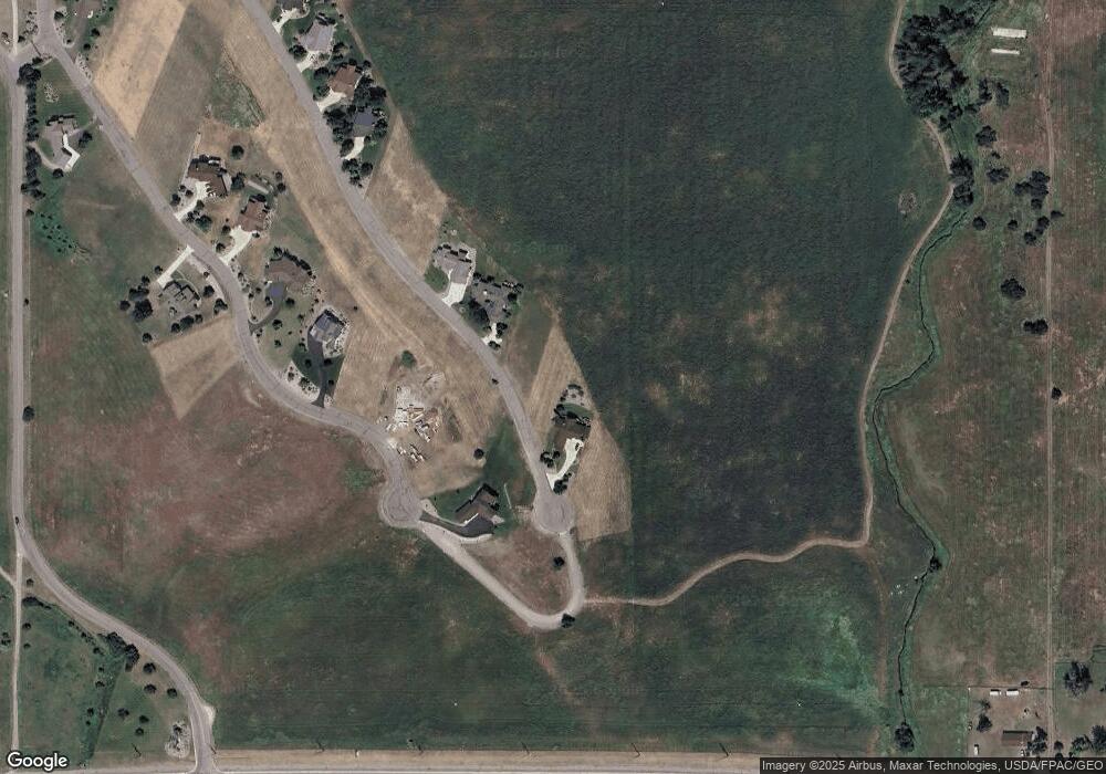
Map
Nearby Homes
- 227 Pheasant Ridge
- 213 Pheasant Ridge
- 116 Red Tail Rd
- 212 Pheasant Ridge Ln
- 372 Hawk Dr
- 102 Marias St
- 100 Reliance Landing
- 525 Hawk Dr
- Nhn Tundra Swan Way
- Lot #7 View Areas Dr
- LOT 34 Tundra Swan Way
- 36184 Caroline Ln
- 189 Pheasant Ridge
- 294 Montana Landing
- nhn Hawk Dr
- 107 Kari Ln
- 140 Kari Ln
- 120 Heritage Ln
- 205 Shawnee Ln
- 403 White Fox Run
- 232 Red Tail Rd Unit (Lot 116)
- 232 Red Tail Rd
- 236 Red Tail Rd Unit (Lot 118)
- 236 Red Tail Rd
- 230 Red Tail Rd
- 238 Redtail Rd
- 228 Pheasant Ridge Unit Lot 212
- 228 Pheasant Ridge (Lot 212)
- 228 Pheasant Ridge Ln Unit Lot 212
- 228 Pheasant Ridge Ln
- 228 Pheasant Ridge
- 224 Pheasant Ridge
- 224 Pheasant Ridge Unit (Lot 210)
- 228 Red Tail Rd
- 228 Redtail Rd
- 110 Red Tail Rd
- 105 Red Tail Rd
- 117 Red Tail Rd
- 103 Red Tail Rd
- LOT 208 Pheasant Ridge