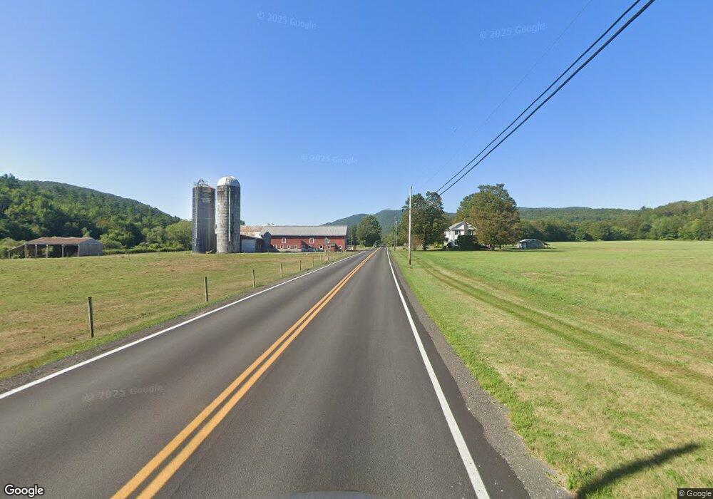
234 Route 133 West Rutland, VT 05777
Estimated Value: $226,000 - $555,000
4
Beds
2
Baths
1,548
Sq Ft
$217/Sq Ft
Est. Value
About This Home
This home is located at 234 Route 133, West Rutland, VT 05777 and is currently estimated at $336,060, approximately $217 per square foot. 234 Route 133 is a home located in Rutland County.
Create a Home Valuation Report for This Property
The Home Valuation Report is an in-depth analysis detailing your home's value as well as a comparison with similar homes in the area
Home Values in the Area
Average Home Value in this Area
Tax History Compared to Growth
Tax History
| Year | Tax Paid | Tax Assessment Tax Assessment Total Assessment is a certain percentage of the fair market value that is determined by local assessors to be the total taxable value of land and additions on the property. | Land | Improvement |
|---|---|---|---|---|
| 2024 | $2,966 | $116,900 | $22,300 | $94,600 |
| 2023 | $1,972 | $116,900 | $22,300 | $94,600 |
| 2022 | $2,572 | $116,900 | $22,300 | $94,600 |
| 2021 | $2,594 | $116,900 | $22,300 | $94,600 |
| 2020 | $2,438 | $116,900 | $22,300 | $94,600 |
| 2019 | $2,139 | $116,900 | $22,300 | $94,600 |
| 2018 | $2,207 | $116,900 | $22,300 | $94,600 |
| 2017 | $2,084 | $116,900 | $22,300 | $94,600 |
| 2016 | $1,765 | $116,900 | $22,300 | $94,600 |
Source: Public Records
Map
Nearby Homes
- 202 Scotts Rd Unit IRA
- 1186 Route 133
- 127 Clarendon Springs Ln
- 374 Pinehill Rd
- 2086 Walker Mountain Rd
- 1321 Quarterline Rd
- 326 Main St
- 23 Proctor St
- 469 Main St
- 25 Proctor St
- 90 Elm St
- 101 High St
- 653 Main St
- 865 Walker Mountain Rd
- 230 Marble St
- 124 Flory Heights
- 888 Pleasant St
- 247 Meadowcrest Dr
- 4120 Middle Rd
- 60 Stone Ridge Dr
- 198 Route 133
- 198 Vermont 133
- 198 Route 133
- 198 Route 133
- 33 Pyka Rd
- 287 Vermont 133
- 150 Route 133
- 150 Route 133 Unit IRA
- 173 Route 133
- 171 Pyka Rd
- 171 Route 133
- 58 Vermont 133
- 68 Route 133
- 277 Weaver Hill Rd
- 500 Route 133
- 1534 Teer Rd
- 0 Weaver Hill Rd
- 242 Weaver Hill Rd
- 47 Weaver Hill Rd
- 1460 Teer Rd
